
Geofences: control of vehicles entering and leaving
Geofences in Wialon show when a vehicle arrived at a site, how long it stood there and whether it went somewhere it should not have. We draw circles, polygons and corridors along main roads to match your warehouses, building sites and routes across Baku and the regions.
- 08:12 10-KR-312 entered Sumgait warehouse
- 09:47 90-SH-118 loading for 1 h 35 min
- 11:20 10-KR-312 left, 3 h 08 min in the zone
- 12:05 77-BD-540 entered a prohibited zone
From the data on board to the dispatcher's decision
We draw the outline
A circle around the warehouse, a polygon along the quarry fence or a corridor beside the M-2.
Tracker
It simply sends coordinates. Nothing extra needs fitting to the vehicle.
Wialon compares
A point inside the outline means the vehicle is on site. Entry, exit and time inside are recorded.
Alert and report
A Telegram message about an entry or exit, and a visit report for any period.
Features and tools
Setup
- Circles, polygons and line corridors along main roads
- Import of geofences from KML and address lists
- Speed limits inside a zone
Sites
One tipper run between quarry and building site
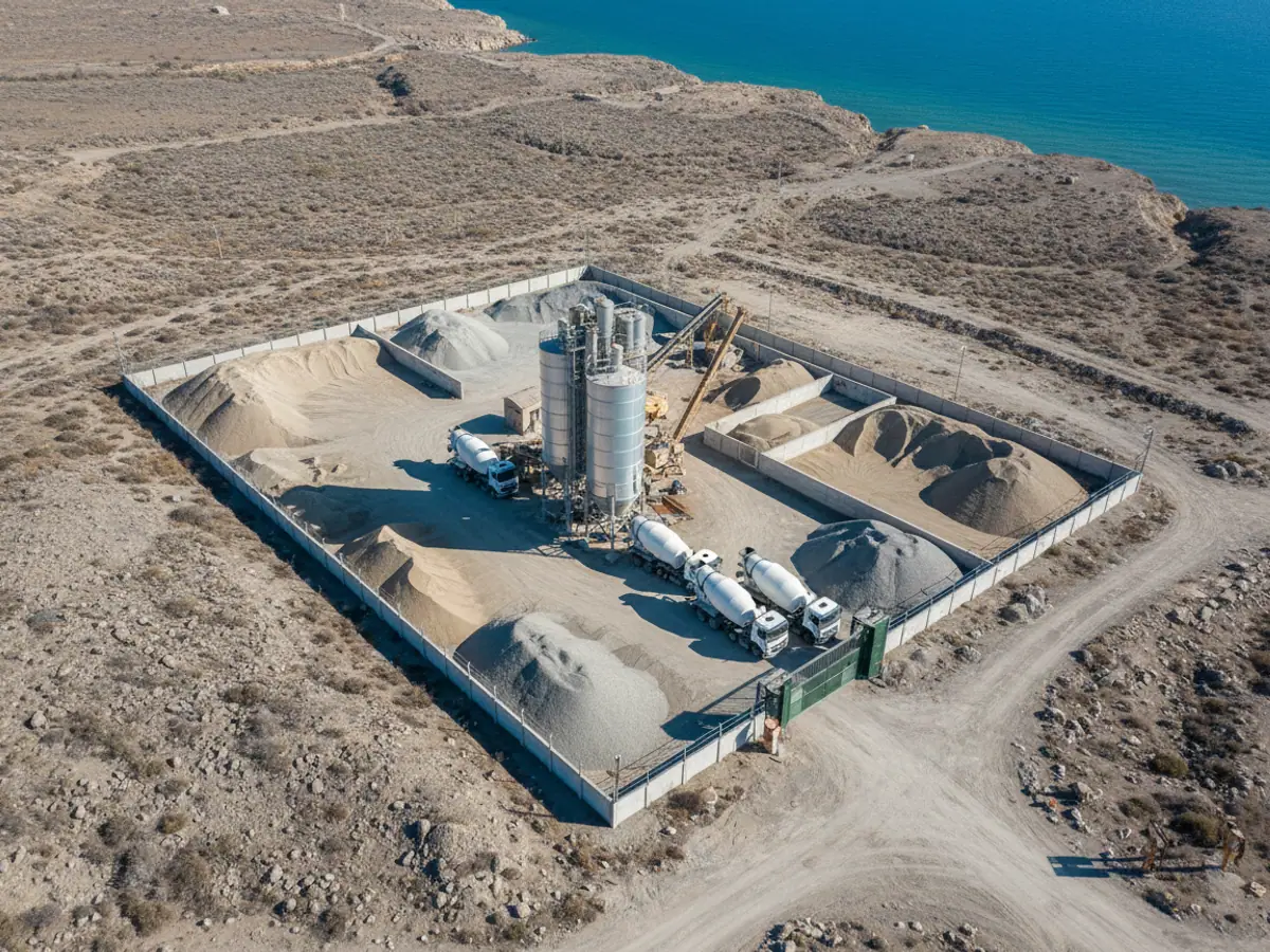
An illustrative example: a quarry in the Garadagh district and a building site in Baku. Every event is a geofence crossing.
- Left the Depot geofence exit
The time of departure is recorded automatically, with no call to the dispatcher.
- Entered the quarry entry
Loading begins. Time on loading is counted as the difference between entry and exit.
- Loading takes 1 h 15 min over the norm
The norm is 40 minutes. A queue at the quarry or a vehicle standing idle — the stop report shows which.
- Entered someone else's quarry prohibited zone
The geofence is marked as prohibited and the alert arrived at once. This is how unauthorised runs come to light.
- Unloading at the building site run counted
Entering the site zone after the quarry counts as a run. Accounting without paper dockets.
What a geofence is and why a fleet needs one
A geofence is an area on the map that you have marked as significant: a warehouse in Sumgait, the plot for a concrete plant in Garadagh, a lorry park on Zikh Highway, or the boundary of a district beyond which a company vehicle has no business going. The tracker knows nothing about geofences; it simply sends coordinates. It is Wialon that compares them with the map: if the point falls inside the outline, the vehicle is on site.
Most of the day-to-day control grows out of that simple rule. The dispatcher sees who has already arrived for loading and who is still stuck in traffic on Heydar Aliyev Avenue. The accounts department gets a list of customer visits for the month without waybills. The manager finds out that a tipper called in at someone else's quarry over lunch.
Geofences work with any tracker connected to the platform — no extra sensors are needed for them. If you already have online vehicle monitoring, geofences are set up on top of it in a day or two.
Three shapes of geofence and when to use each
A circular geofence around a point
The quickest option: you place a point on the map and set a radius. It suits shops, filling stations and customer addresses, where what matters is the fact of the visit rather than the exact boundary of the plot.
We choose the radius to match how built up the area actually is. In the dense centre of Baku, where GPS bounces off the tower blocks of the Nasimi and Sabail districts, we go for 100–150 metres. On an open road or in open country 50–80 metres is enough.
- hundreds of customer points can be loaded as a list from Excel with coordinates
- convenient for sales representatives and address-by-address deliveries
- the drawback: a circle sits badly over long, narrow warehouses and industrial estates

Where geofences save money
Six scenarios we set up most often. Every client's set is different, but we usually start with two or three.
Typical jobs our clients have
Time on loading
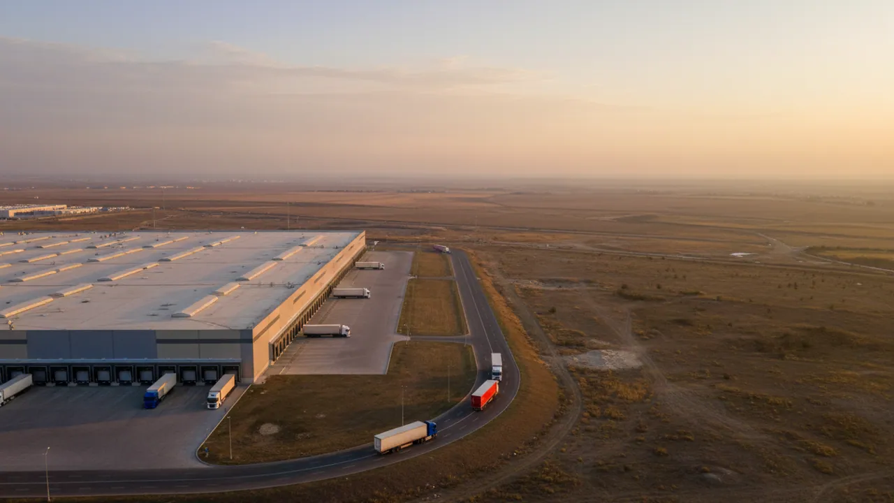
The artic arrived at the warehouse at 9:10 and left at 13:40. If a customer keeps a vehicle four hours at a time, you have an argument for a conversation about demurrage rather than just a feeling.
Visits to retail outlets
A distributor enters 300 shops across Absheron. At the end of the day it is clear which points the driver covered, which he skipped and where he stood for 2 minutes instead of the 15 required.
Runs to the building site
Geofences for the quarry and the site count a tipper's runs automatically. A mixer lorry that made 6 runs instead of 8 stands out in the report without anyone ringing the site manager.
Overnight parking
A vehicle is meant to spend the night at the depot. If it is not in the parking zone at 23:00, the dispatcher gets an alert and can see where it actually is.
Prohibited districts
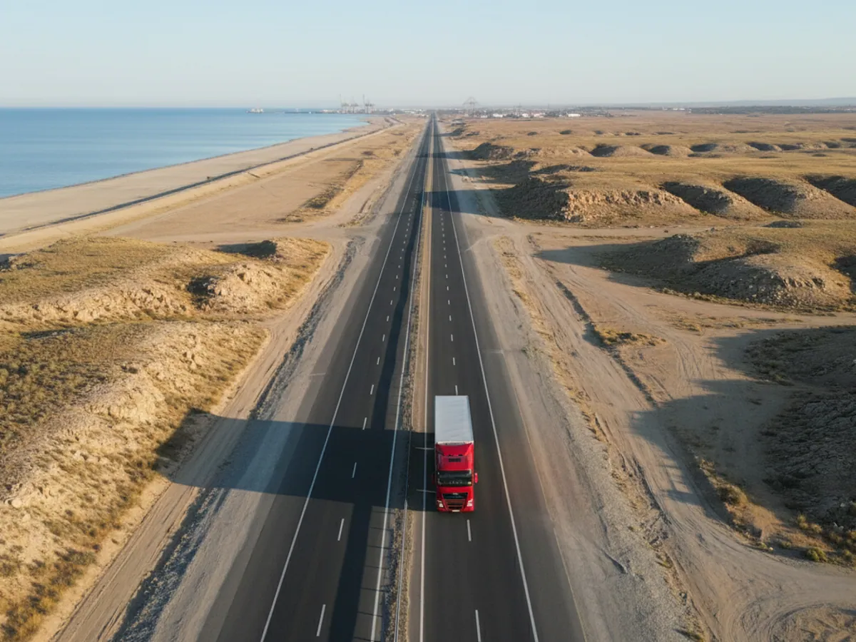
Lorries may be barred from the city centre during the day, and company cars from trips to the dachas at Nabran. Entering such a zone is visible at once, with the time and the track.
Speed on a site
At an oilfield or in a port the limit is 20 km/h. A polygon can be given its own threshold, and speeding inside the zone appears as a separate line.

What a dispatcher's day looks like with geofences
Take a company that carries building materials from a depot in Lokbatan to sites in Baku, Khirdalan and Sumgait. Before geofences, the dispatcher rang the drivers in rotation: where are you, have you unloaded? Two or three hours a day went on that alone.
After setting up, the picture is different. Every depot and every site is a polygon. At 8:30 the screen shows that 11 of the 14 vehicles have already left the depot. At 9:15 an alert arrives: a tipper has entered the site in Khirdalan. At 10:40 it leaves, so unloading took 1 hour 25 minutes. If there is no exit for more than three hours, the dispatcher rings the site manager rather than the driver.
At the end of the week the Geofences report shows the number of visits and the total time for each site. Those are the figures that later go into the reconciliation statement with the client.
There is a limitation too. If a site is small and sits right beside the road, a vehicle driving past can clip the zone. The cure is a minimum dwell time: a visit only counts if the vehicle stayed inside for, say, 3 minutes or more.
Reports built on geofences
Geofence visits
Time in, time out, length of stay and mileage between zones. It can be exported to Excel or PDF and sent out to an email address on a schedule.
Geofences not visited
The inverse report: which points on the list the vehicle never reached during the period. Useful for merchandisers and service teams.
Stops and halts inside zones
Where the vehicle stood with the engine running and for how long. Together with fuel control you can see how much diesel was burned idling at a customer's gate.
Trips between sites
The depot — quarry — site — depot route with the time spent travelling. It helps find where a run takes longer than the norm: on the road or at the unload.
Common mistakes when setting up geofences
- Too small a radius in town. In dense built-up areas GPS wanders by 30–70 metres, and the vehicle leaves the zone without moving an inch. The result is dozens of false alerts.
- One enormous zone covering a whole district. A geofence like that says nothing: the vehicle is on site whether it is standing at the gate or has driven two blocks away for lunch.
- Alerts on every zone at once. Switch on a push for every entry across 400 retail outlets and the dispatcher will mute the sound by lunchtime. We set alerts only on the events that matter; the rest goes into reports.
- Nobody keeps the list up to date. The customer has moved, the warehouse has closed, but the zone is still there. It is worth reviewing the geofence group once a quarter and clearing out the obsolete ones.
- The time zone and the schedule forgotten. A zone that is prohibited only at night should be checked only at night, otherwise unnecessary alarms will arrive during the day.
Setup and the subsequent tidying up can be left to us as part of configuring the GPS system.

A false entry at the boundary: what it looks like and what delays to set
An illustrative example. A customer's warehouse stands right beside the Sumgait road, and a circular geofence with a radius of 120 metres partly covers the carriageway. One of your vehicles drives past at 60 km/h and a single track point falls inside the circle. Without additional conditions Wialon records a visit lasting a few seconds and the dispatcher gets an alert saying the vehicle entered the warehouse.
The second variant is a vehicle genuinely standing at the gate, but in a built-up area the coordinate wanders by tens of metres. The points are now inside the outline, now outside it, and over half an hour the report gathers five entries and five exits.
What we do about it during setup:
- Minimum time in the zone. A visit counts if the vehicle stayed inside for no less than a set number of minutes. For a customer point that is usually 2–5 minutes; for a warehouse or a quarry, longer.
- Alert delay. The message goes out not on the first point inside but once the vehicle has spent the set time in the zone. For alarm zones we make the delay short or leave it out altogether: there, speed matters more than an absence of noise.
- Speed threshold. Points above a set speed inside the zone do not count as a visit. That filters out driving past.
- The shape of the zone. Beside a road a circle is better replaced with a polygon along the fence, with the zone pulled back from the carriageway.
- Merging visits. Several brief exits and returns within a couple of minutes are combined by the report into a single visit.
We pick the figures for delays and thresholds from the real tracks of the first weeks rather than in advance. The same values will not work for a warehouse in central Baku and for a field in Saatly.
An acceptance run: how to check geofences before going live
Before switching alerts on for the whole fleet, we drive a control route with one vehicle and compare the report with what actually happened. It is half a day of work that saves weeks of wrangling over false alarms.
Pick 5–10 representative zones
A warehouse beside a road, a site in a built-up area, a large yard, a prohibited zone, a route corridor. You want the places where an error is most likely.
Drive the scenario
A genuine arrival with a stop, a drive past without stopping, a halt right on the boundary, a departure from the corridor onto a diversion. The driver or our engineer notes the time of each action.
Compare the report with the notes
Every genuine arrival must be in the report and every drive-past must not. We compare entry and exit times with the driver's notes, allowing for how often the tracker sends points.
Adjust and repeat
If there are extra or missing visits, we change the outline, the minimum time or the speed threshold and drive the problem zones again.
Switch the alerts on
Only once the control route has come through without errors do we switch alerts on for the whole fleet and hand the settings over to the dispatchers.
What changes after the rollout
Fewer calls to drivers
The dispatcher sees arrived and left on the screen. In our experience the number of calls falls several times over within the first week.
Arguments in a dispute
Arrival time and waiting time at the client's site are backed by the track. That helps when invoicing for demurrage and when answering complaints about a delivery that supposedly fell through.
Private trips become visible
Visits to zones unconnected with work show up in the report. Usually their number falls noticeably after the first conversation with the drivers.
Honest counting of runs
Runs by tippers and mixer lorries are counted automatically, without entries in a logbook at the gate.
What goes on the vehicle


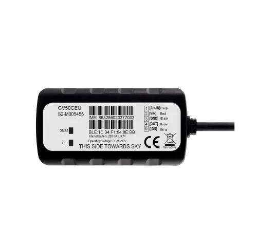
Circle, polygon or corridor
The shape is chosen to suit the site. In one fleet all three are usually in use.
| Circle | Polygon | Corridor | |
|---|---|---|---|
| What it is for | A customer, a filling station, a point | A warehouse, a quarry, a field | A route along a main road |
| Drawn in a minute | Yes | No, it follows the outline | Yes, along the line |
| Follows the boundaries of the plot | No, only roughly | Yes | Yes, to the width of the road |
| Catches leaving the road | No | No | Yes |
Fitting and cost
The feature becomes available once you are connected to the GPS.az platform. The cost is made up of the hardware, the fitting and a monthly subscription, which includes the SIM card traffic — the total depends on the type of vehicle and the set of sensors. We prepare an exact quote for your fleet free of charge within one working day.
- 1 Your enquiry and the list of vehicles
- 2 The quote and an agreed fitting schedule
- 3 Fitting the hardware at your own site
- 4 Setting up reports and alerts in Wialon, and training the dispatcher
Questions about “Geofences: control of vehicles entering and leaving”
Request a call
A specialist will call back and match a solution to your fleet and your task.