
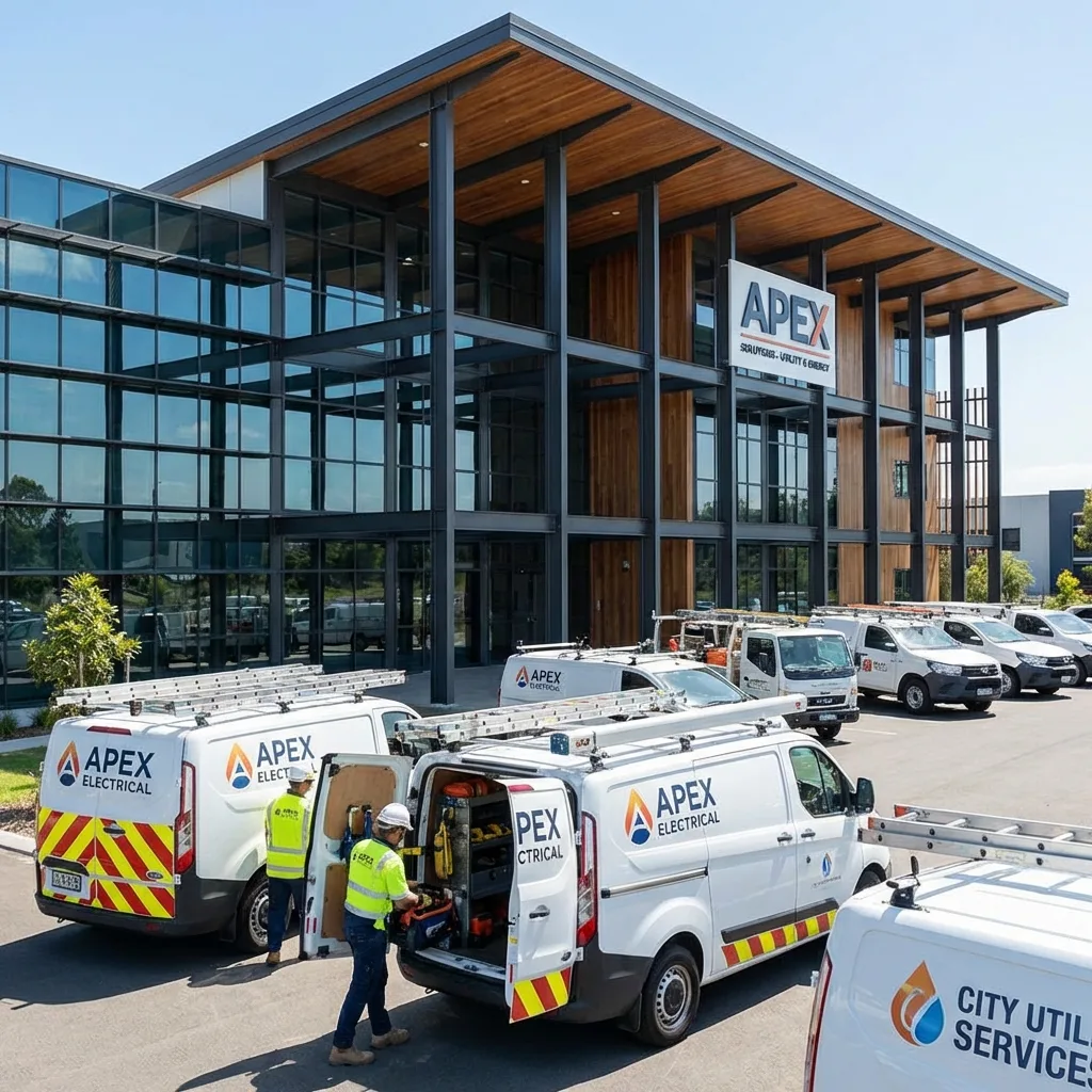
GPS monitoring for utility and emergency response services
A water utility repair crew, a refuse lorry on a night round through the Nasimi district, a street washer on an avenue, an ambulance stuck in traffic on Tbilisi Avenue. Whether people have water, power and a clean yard depends on these vehicles.
We connect municipal and emergency response vehicles to Wialon so that the dispatcher can see who is closest to a call and management can see whether the work that was paid for actually got done.
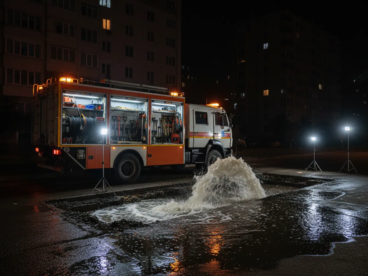
The key figure here is minutes, not litres
A private haulier fits GPS in order to save fuel. A utility operator cares about something else: how long it took the crew to reach a burst main, whether the refuse lorry covered every collection point on schedule, whether the street the city contracted out has been swept.
Such services have another particular feature - they have to report to a client. A municipality, a management company, residents. A complaint that the bins have not been emptied for three days becomes one word against another without data. With a track and records of visits to the collection points it is a ten-minute check.
Fuel and costs do not go away either. The machines are old, consumption is high, and they often work at night when nobody is watching them. That is why in the utilities sector monitoring usually addresses two things at once: the quality of the work and honest consumption figures.
Solutions by sector: utilities & emergency services
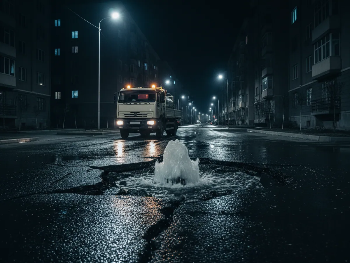
Three groups of tasks and where to look
The sector brings together very different services. We divide them into three groups by the nature of the work.
Networks: power, gas, water. Work driven by job requests and faults, with crews moving around the city and the districts; what matters is the response time and what the crew did between calls. The details are in the section on electricity, gas and water supply.
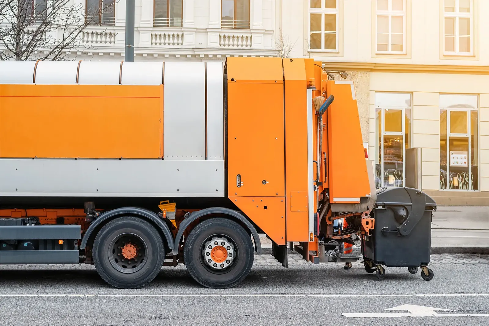
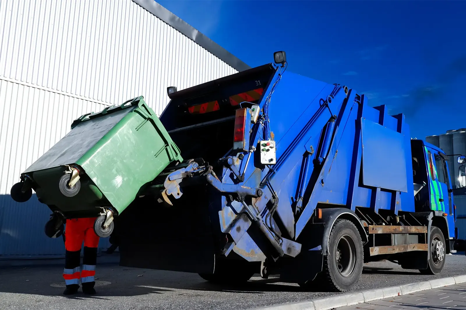
The city: waste, cleaning, landscaping. Work driven by routes and a schedule, with checks on visits to bin points, on the operation of brushes and lifts, and on runs to the landfill. This is covered on the pages about housing and utility services and environmental control and waste collection.
Emergency services. Ambulances, fire crews, rescue teams, police. Here the count is in seconds, and monitoring is built into the dispatch system. See monitoring for ambulance, emergency and police services and dispatching for emergency services.
Often a single organisation falls into two groups at once: a management company, for example, has both a repair crew and cleaning machines. That is not a problem - one system can hold different types of vehicle with different reports.
What the system measures in a utility service
Time of arrival at a call
From the moment the dispatcher assigned the job to the crew entering the geofence around the address. The average by crew and by district can be exported for any chosen period, as long as it falls within the data retention window.
Completion of the route
Which collection points and streets were covered and which were missed. A percentage of completion for every shift instead of we think we got round them all.
Operation of the mounted equipment
The sweeper's brushes are lowered, the washer's pump is running, the refuse lorry's lift has operated. A machine can drive the route and do nothing at all, and the sensors will show it.
Fuel and idling
The old ZILs and KamAZes of the utility services often stand with the engine running for hours. Consumption at idle is one of the most visible places to save.
Runs to the landfill
How many times the refuse lorry went to the landfill and whether it tipped anywhere along the way. Unloading outside the permitted geofence is recorded automatically.
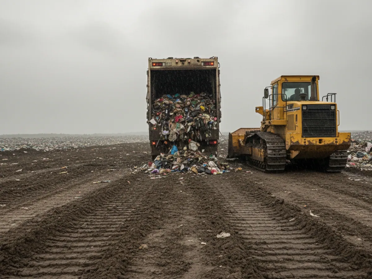
A track is not yet a completion record: tying the route to the service delivered
Coordinates answer only the question of where the vehicle was. The client of a utility service is paying for something else: a bin emptied, a street swept, a fault repaired. So in the report that feeds the completion record, the route has to sit alongside the operation of the mounted equipment and the asset named in the contract.
In practice the chain looks like this:
- The asset from the contract. The bin point, the stretch of street, the chamber or the substation is set up as a geofence with the same number as in the schedule to the contract or in the district register.
- The working equipment. A sensor on the lifting gear, the brushes, the pump or the hydraulics shows that the equipment was working inside that geofence rather than on the way to it.
- The operator's note. The driver or the foreman gives the reason if the work could not be done: the yard was blocked with parked cars, the access road was closed, there was no way in to the asset.
- The line in the completion record. From these three facts a report for the period is assembled, which the dispatcher checks against the record of work completed.
Such a report usually has columns for the asset and its contract number, the planned date, the times of arrival and departure, the time the equipment was working, the operator's note and a final status of done / not done / reason. We adapt the format to what your client requires.
The boundary is a simple one. The system shows that the equipment operated at the asset. It does not judge the quality of the work - whether the yard is actually clean, whether there is still a leak after the repair. Photographs, a foreman's inspection and residents' complaints still do that.
Vehicles that have no right to break down
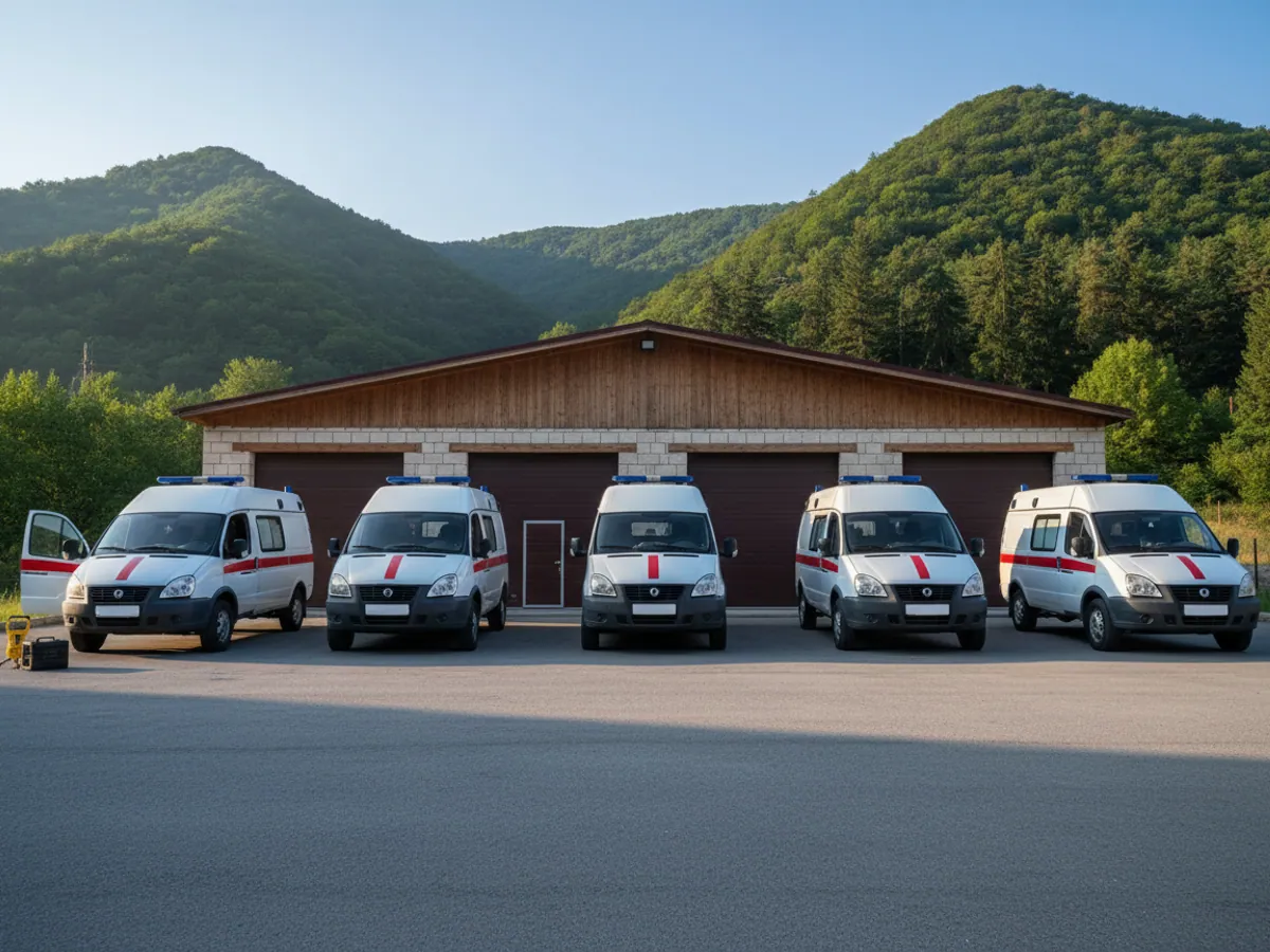
An ambulance with a faulty alternator, a water utility response vehicle that would not start in the night, a refuse lorry that stopped in the middle of its round in the heat. For utility and emergency vehicles a breakdown is not simply a repair, it is work left undone that the city will ask about.
Mileage and engine hours are counted automatically in the system, so servicing can be planned against actual use rather than against the mechanic's memory. A few hundred kilometres before an oil or belt change a reminder arrives, and the vehicle goes into the workshop on a quiet day.
On vehicles with a CAN bus the engine fault codes are visible too. The mechanic hears about an overheating or oil pressure problem before the driver rings from the roadside. On older machines with no CAN, even simply monitoring the battery voltage works well: in winter a flat battery is a common reason why a response vehicle fails to set off.
How maintenance planning is arranged is described on the page about servicing and repair control.
The tools we set up
Bin points, sections, addresses
Every bin point, cleaning section, substation or pumping station is entered into the system as a geofence. After that the reports build themselves: who entered and when, how long they stood, whether the equipment was working.
For cities with thousands of collection points we load the geofences from your register as a file. How geofences work in Wialon is described on the page about geofences and visit control.



Winter, snow and summer heat
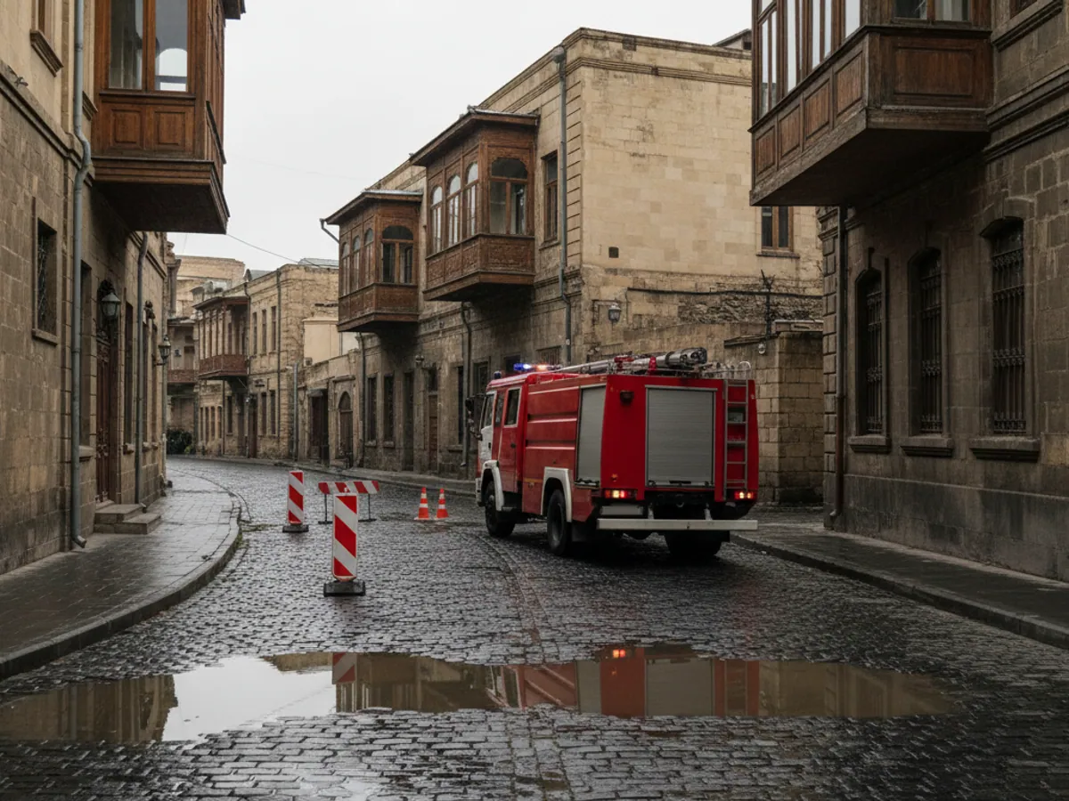
Snow does not fall often in Baku, but every time it does it is a test for the city services. In Guba, Gusar, Sheki and on the mountain passes the winter is a real one, and the roads have to be cleared and gritted regularly.
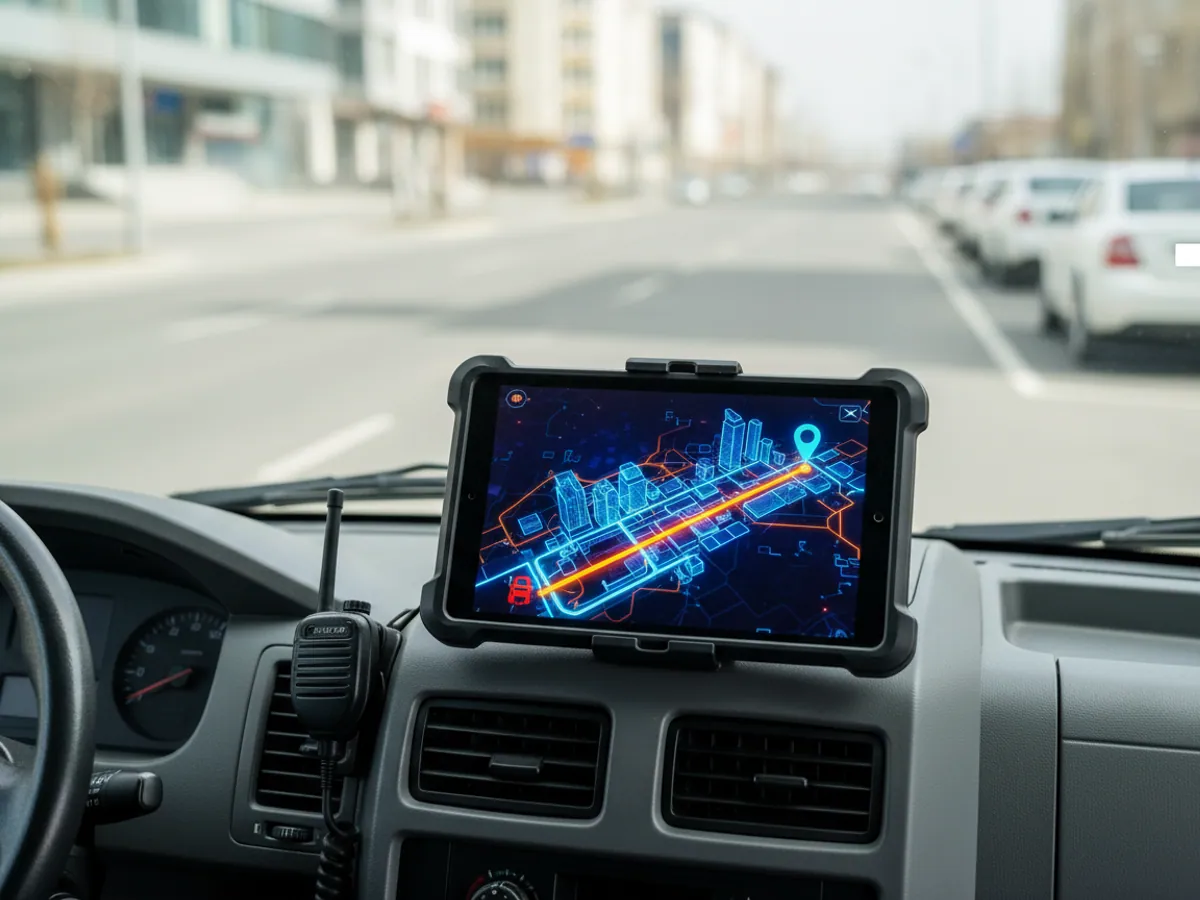
On days like that the dispatcher needs to see which streets have already been treated, where the machines are and whether one has become stuck in a drift with no signal. A sensor on the spreader shows where the grit was actually laid down and where the machine simply drove past.
In summer it is the other way round. At +40 °C the washers work at night, and there are more faults on the water mains and the electricity network because of the load. Trackers in vehicles that stand in the sun all day have to cope with the heat in the cab, so this is not the place to economise on equipment.
The mountain districts are a subject of their own. Gas and electricity repair crews travel out to places where the mobile network is intermittent. The tracker stores the data and sends it later, and for lone workers we add a personal device with an SOS button.
How we bring a utility company on board
Utility and public sector services have their own procurement and approval procedures. We fit in with them and start with what can be verified quickly.
Fleet survey
We look at the machines in person: year of manufacture, condition of the wiring, which mechanisms need to be monitored. On older municipal machines the on-board electrics often have to be put right first.
Register of assets
We gather the addresses of the bin points, sections, substations and pumping stations. If there is no register in electronic form, we help put one together from maps and dispatch records.
A pilot district
We connect the machines of one district or one section, usually 5-15 vehicles of different types. From the organisation we need the register of assets for that district, the schedules or response standards for job requests, the completion records for the pilot month to check against, and one person from the dispatch office to take responsibility. The acceptance criteria are agreed in advance: that route completion in the system matches the completion records, for instance, with every discrepancy explained. After a month there is something to show management.
Rollout and training
We connect the remaining districts and train the dispatchers and foremen. We set up reports for management and, where required, for the external client.
Questions from utility and emergency response services
How it is used in this industry
Case studies from “Utilities & Emergency Services”
GPS monitoring for “Utilities & Emergency Services”
Send us an enquiry and we will prepare a quote for your fleet and pick the hardware that suits this industry.
- 1 We pin down the task
A specialist calls back and asks about the vehicles, how many there are and what you need to keep an eye on.
- 2 We put a solution together
We propose the hardware and the features, and set out the one-off and the monthly cost separately.
- 3 We agree the fitting
At your yard or at ours, on a schedule that keeps the vehicles working.
Request a call
A specialist will call back and match a solution to your fleet and your task.