
Online GPS vehicle monitoring
Online GPS vehicle monitoring for managers and logistics teams running fleets of anything from 5 to 5000 vehicles in Baku and the regions of Azerbaijan. The GPS.az system shows where each vehicle is right now, where it has been and how it has been used. It lets you match actual trips, mileage and stops against jobs and waybills, and the dispatcher can see where the plant and vehicles are at any moment. Real-time data opens on a computer and on a phone alike.
- 08:02 Van 10-XX-123 left the warehouse
- 09:40 Tractor unit standing 1 h with the engine running, Sumgait
- 10:15 Van 10-XX-588: no connection for 2 h
- 10:32 Van 10-XX-123 at the customer, Yasamal
From the data on board to the dispatcher's decision
GNSS
The tracker picks up GPS, GLONASS, Galileo and BeiDou and works out coordinates, speed and heading.
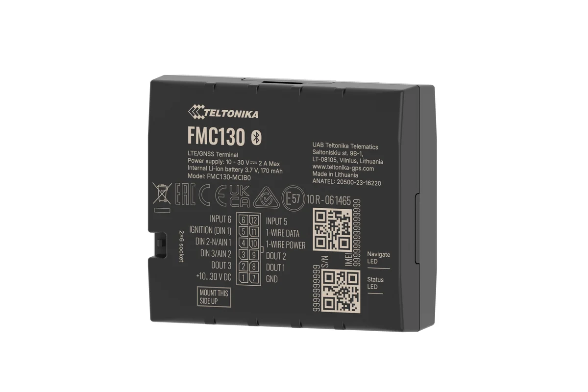
Teltonika tracker
While moving it sends a point every 30–60 seconds over Azercell, Bakcell or Nar.
Wialon
Builds the track, separates trips from stops, fills in the address and counts the mileage.
go.gps.az and the Wialon app
Fleet map, trip history and reports — from a computer or from a phone.
Features and tools
Map
- Round-the-clock online tracking of every object in the fleet.
- Convenient grouping of objects and filtering by status.
- Integration with the leading mapping services (Google, Yandex, OSM).
- Current address and traffic shown with a high degree of accuracy.
History
- Detailed history of movements, stops and routes going back a year and more.
- Flexible geofences: circles, corridors and polygons for site control.
- Automatic checks for deviations from the assigned routes.
Accuracy
- Accurate positioning via GPS, GLONASS, Galileo and BeiDou.
- Fallback LBS positioning in areas of weak GNSS signal.
- Support for every type of Teltonika and Queclink hardware.
What one day of a track shows
An illustrative delivery van: warehouse in Khirdalan, customers in Baku and Sumgait. This is how the day looks when you play the track back.
- Departure from the warehouse on time
The departure time comes from the track, not from the waybill. There is nothing left to argue about afterwards.
- Unloading at a customer in Yasamal 25 min stop
A stop with an address and a duration. For unloading, that is a normal length of time.
- Stop away from the route 1 h 30 min
The vehicle is parked outside a block of flats in Masazir although the plan says it should be heading to Sumgait. You can see it when the track is played back.
- Baku — Sumgait road 112 km/h
The stretch with the speeding is highlighted on the track: you can see where and for how many minutes the vehicle went faster than allowed.
- Return to the warehouse 146 km for the day
GPS mileage is checked against the waybill and any discrepancy shows up straight away.
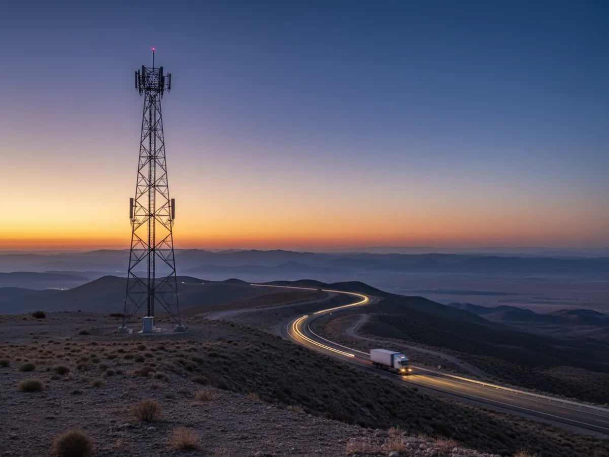
How a point travels from the tracker to the map
In short: online monitoring answers two questions — where the vehicle is now and where it has been. For the first, the freshness of the data matters: each vehicle shows the time of its last message, and a point five minutes old is not the same as now. For the second, the tracker keeps points in memory while there is no connection, so the trip can be reconstructed later. You need a tracker with the ignition wired in, a SIM card with a data plan and a properly configured trip detector.
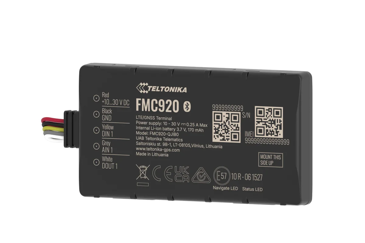
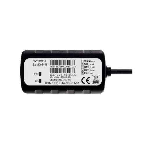
A GPS tracker is fitted to the vehicle: most often a Teltonika FMC130 or FMB140 for lorries and heavy equipment, a Queclink GV50 or the compact FMC920 for cars. The tracker picks up the satellites, works out coordinates, speed and heading every few seconds and sends a packet of data over the Azercell, Bakcell or Nar mobile network to the Wialon Local server — which is hosted by GPS.az here in Azerbaijan.
From there the platform takes over. Points become a track line on the map, halts become stops with an address and a duration, and trips become mileage reports. You open go.gps.az in a browser or the Wialon app on a phone and see the whole fleet: who is driving, who is standing with the engine running, who has been out of contact for a while.
We set the reporting interval to suit the job. On the move it is usually every 30–60 seconds or every 200–300 metres, and on bends the tracker adds points of its own so that the track does not cut corners. When parked, the tracker switches to an economical mode and reports every few minutes, so as not to burn through data or drain the vehicle battery.
What the map shows you right now
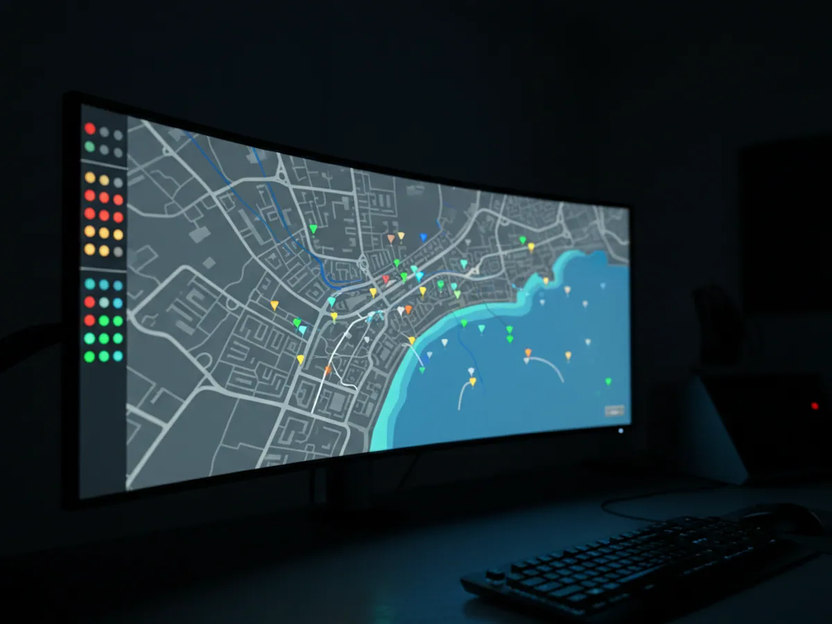
The whole fleet on one screen
Every vehicle is an icon on the map. The colour and the arrow show its state: moving, stopped, stopped with the engine running, no connection. Next to it sit the speed, the time of the last message and the address, down to the street and house number wherever the mapping service knows them.
You choose the base layer yourself: Google, Yandex, OpenStreetMap or the Gurtam maps. In Baku the difference is noticeable: some maps draw the new Absheron roads better, others do a better job of villages and unsurfaced tracks out in the districts. City traffic is easier to read on a layer that actually covers Baku.
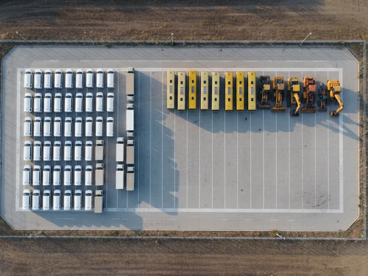

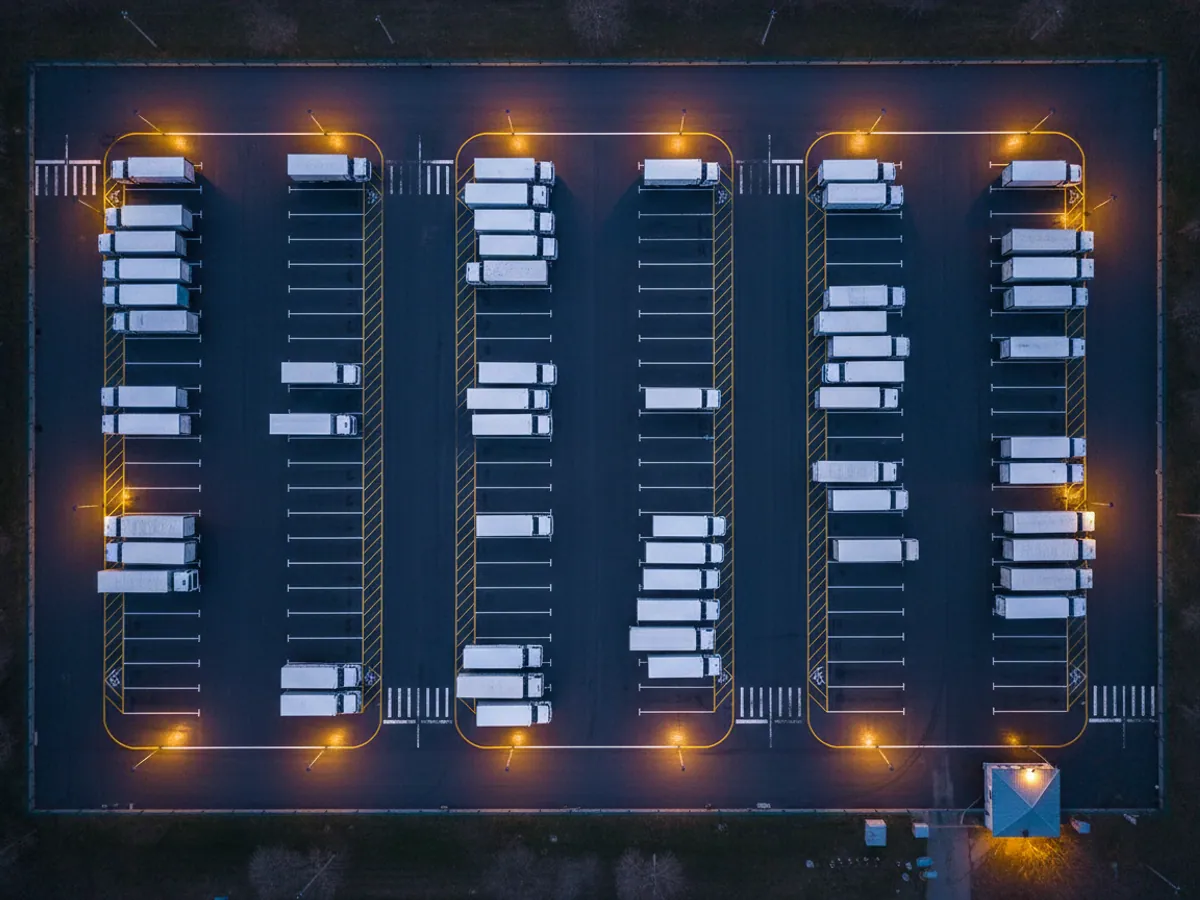
Trip and stop history: what can be reconstructed after the event
The live map is for the dispatcher. Managers and the accounts department more often need the history. Wialon stores every message from the tracker, and any day can be opened a month or a year later: where the vehicle was, when it set off, where it stood and for how long.
The platform splits the raw points into trips and stops by itself. The rules come from the trip detector: what speed counts as the vehicle moving, how many minutes of standing still count as a stop rather than a wait at the lights. We tune it during commissioning, because the right values for city deliveries around Baku and for a tipper working a quarry are not the same.
- Trip report — time out and time back, mileage, average and maximum speed for each run.
- Stop report — address, start, end, duration. It is immediately clear where a driver stood for two hours instead of the twenty minutes an unload takes.
- Engine hours and idling — if the ignition is wired to the tracker, the report will show how long the vehicle stood with the engine running.
- Visits to addresses — whether the driver was at the customer and how long he spent there.
Reports like these are usually what settles arguments about padded figures. The driver writes 380 km on the waybill, the day's track shows 290, and the 90 km of difference turns into a concrete conversation.
Playing a track back and settling a disputed trip
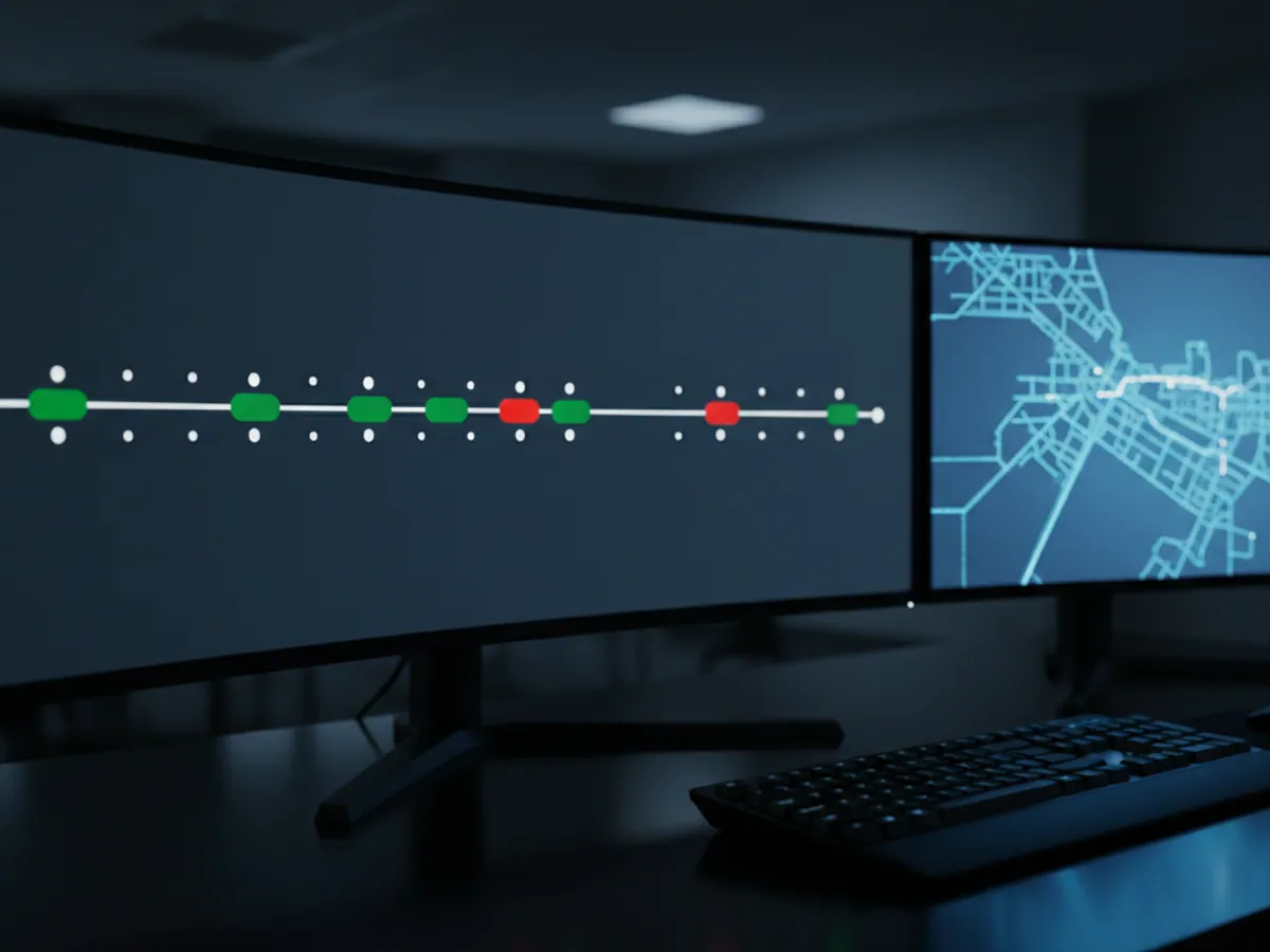
The track for the chosen period is drawn on the map as a single line. The colour of the line can follow speed: green within the limit, red for speeding. That makes it obvious where a driver pressed on along the M-1 towards Guba and where he crawled through the traffic on Tbilisi Avenue.
For going through a particular episode there is a player. It scrolls the trip like a video: the vehicle icon moves along the track while the speed, the time, the ignition state and the sensor readings change alongside it, if sensors are connected. Playback can be sped up several times over or stopped at the minute you need.
A typical situation. A customer in Khirdalan complains that a delivery arrived three hours late. The dispatcher opens the track for that day and within five minutes can see that the vehicle left the warehouse on time, then stood for an hour and a half outside the driver's house in Masazir, and only after that went on to the customer. There is nothing left to argue about.
- Track points can be opened one at a time to show the time, speed, number of satellites and the tracker's own parameters
- The track exports into a report together with the map, which is handy to attach to an internal memo
- If the connection dropped, the track will show a straight segment: that means the points arrived in a batch out of memory, and they can still be worked through
GPS, GLONASS, Galileo, BeiDou: where the accuracy comes from
The word GPS long ago became a catch-all, but modern trackers receive signals from several satellite systems at once: the American GPS, the Russian GLONASS, the European Galileo and the Chinese BeiDou. Together they are GNSS. The more satellites the receiver can see, the faster it finds itself after switching on and the smaller its error.
In open country — on the Baku — Alat road, say, or out in the fields of the Kura-Aras lowland — the error usually stays within 2–3 metres. That is enough to tell which lane the vehicle is in and whether it has driven onto the warehouse yard.
The receiver has the hardest time wherever the sky is blocked. Between the tower blocks in central Baku the signal bounces off walls and the point can jump to the next street. In underground car parks and covered hangars there are no satellites at all. That is why where the tracker is fitted matters: the aerial is not hidden under a metal panel, and for trackers with a built-in aerial a spot under the plastic of the dashboard is chosen, where the sky is in view.
We have written about the difference between the systems in more detail in the article GNSS versus GPS.
Mountains, tunnels and no signal: LBS and the offline buffer
Satellites and mobile coverage are two different things, and either of them can drop out.
No satellites, but there is coverage. The vehicle has driven into a covered hangar or an underground car park. The tracker cannot fix its position by GNSS but it can see the operator's masts. Wialon works out an approximate position from those masts; this is called LBS. The accuracy is coarse: hundreds of metres in town, up to several kilometres out in the districts. For finding a stolen vehicle in a garage that is not enough, but it is enough to tell that the vehicle is in Sumgait rather than Shamakhi. We filter such points out of the track so that they do not draw false mileage.
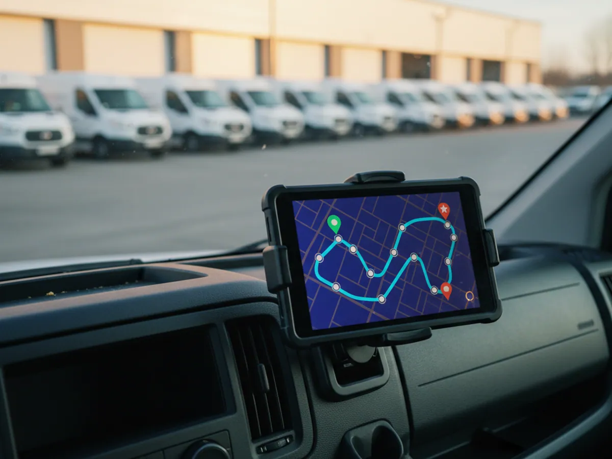
Satellites, but no coverage. The usual picture in the mountains beyond Guba and Gusar, on the roads to Lahij, on stretches of reconstruction work in Karabakh. The tracker carries on writing points to its internal memory. As soon as the vehicle comes back into coverage it sends everything it has saved up, and the track is restored in full, with no gaps. You cannot see the vehicle live at that moment, but you do not lose the history.
- for vehicles that often head into the mountains we fit a tracker with an external GSM aerial
- for work near the Georgian and Iranian borders we configure the tracker so that it does not latch onto a foreign network while roaming
- for long runs across several countries we supply multi-operator SIM cards
How fresh is the point on the map
A vehicle on the map is the tracker's last message, not a live broadcast. Before ringing the driver or the customer, it is worth looking at how old that message is.
The data is fresh
The last message arrived within the usual reporting interval: tens of seconds while moving, a few minutes when parked. The position can be trusted.
The data has gone stale
There have been no messages for longer than usual. The vehicle may be in an area without coverage, in an underground car park, or with its power disconnected. The icon sits where the vehicle was last seen, not where it is now.
A point with no satellites
A message arrived, but the coordinate is old or was worked out from the mobile network. This happens in tunnels, covered bays and between tower blocks. Speed and heading at such a point mean nothing.
The track loaded in later
When the connection came back, the tracker sent the points it had saved up. The track for the intervening period appears in full, but notifications about those events arrived late.

How to check mileage at handover and which discrepancies are normal
After fitting, we advise checking the monitoring against reality once on a handful of vehicles. It takes a week and heads off most future arguments.
- A control run. Note the odometer reading before and after a known route, for example from the yard to Sumgait and back. Compare it with the mileage in the Wialon report for the same period.
- A week of work. Compare the odometer mileage for a week with the report, across several vehicles of different models.
- Stops. Check that halts at customers and at the yard have landed in the report as stops rather than short trips, and that the addresses are recognised.
A small discrepancy between GPS and odometer mileage is normal. The odometer depends on tyre wear and tyre size, GPS on how often points come in and how good the signal is. In practice the difference usually stays within a few per cent. If the gap is larger than that, or shifts from week to week, we look for the cause in the settings: point frequency, filtering, the mileage source (GPS or CAN), an ignition line that was never connected.
If the mileage is going to be used for waybills and fuel write-offs, agree in advance which figure is the benchmark — the odometer or the track — and what tolerance you accept. That is a decision for the company; the system merely shows both numbers.
Common mistakes when monitoring is first set up
Most complaints that the tracker is lying turn out on inspection to be fitting or configuration errors. Here is what we see most often when we are called in to sort things out after another contractor.
The tracker is hidden under metal
Someone wanted it out of sight and pushed it under a metal panel or into the engine bay. Few satellites, the track zigzags, and when parked the vehicle wanders around the yard. The cure is refitting it in the right place.
The ignition is not wired in
The tracker sits on the permanent live only. It sees movement but has no idea whether the engine is running. The result is no engine hours and no idling figure, and the trip report confuses slow crawling in traffic with a stop.
A trip detector left on its defaults
A car in Baku and a crane on a building site need different thresholds for speed and stop duration. With the standard values the reports either chop one run into ten or glue separate runs into one.
Points sent far too rarely
To save data, reporting is set to once every 5 minutes. The track turns into a set of straight lines through buildings, and the mileage is understated by every corner cut. The saving on the SIM card comes to pennies, while the reports lose their meaning.
Nobody watches for no connection
The tracker was disconnected or failed, and it was noticed a month later, when a report was needed. We set up a notification for loss of connection so that this surfaces the same day.
What changes in a fleet once it is connected
Fewer private trips
Once a driver knows the weekend track will be looked at, the company vehicle stops going to the dacha in Novkhani. In our own rollouts, non-work mileage usually falls by 10–20% within the first few months.
Waybills checked against the track
Mileage and working hours come from the system rather than from what the driver says. The accounts department writes off fuel against actual mileage, and discrepancies with the waybill show up before the month is closed.
The dispatcher answers the customer straight away
The question where is my vehicle has an answer within seconds, without ringing a driver who is behind the wheel. For deliveries around Baku and Absheron, the number of complaints reflects it.
Faster response to theft and incidents
A vehicle that has set off in the night is visible on the map, and together with notifications it is noticed at once. There is a separate page on SOS and alarm scenarios.
Fitting and the cost of getting connected
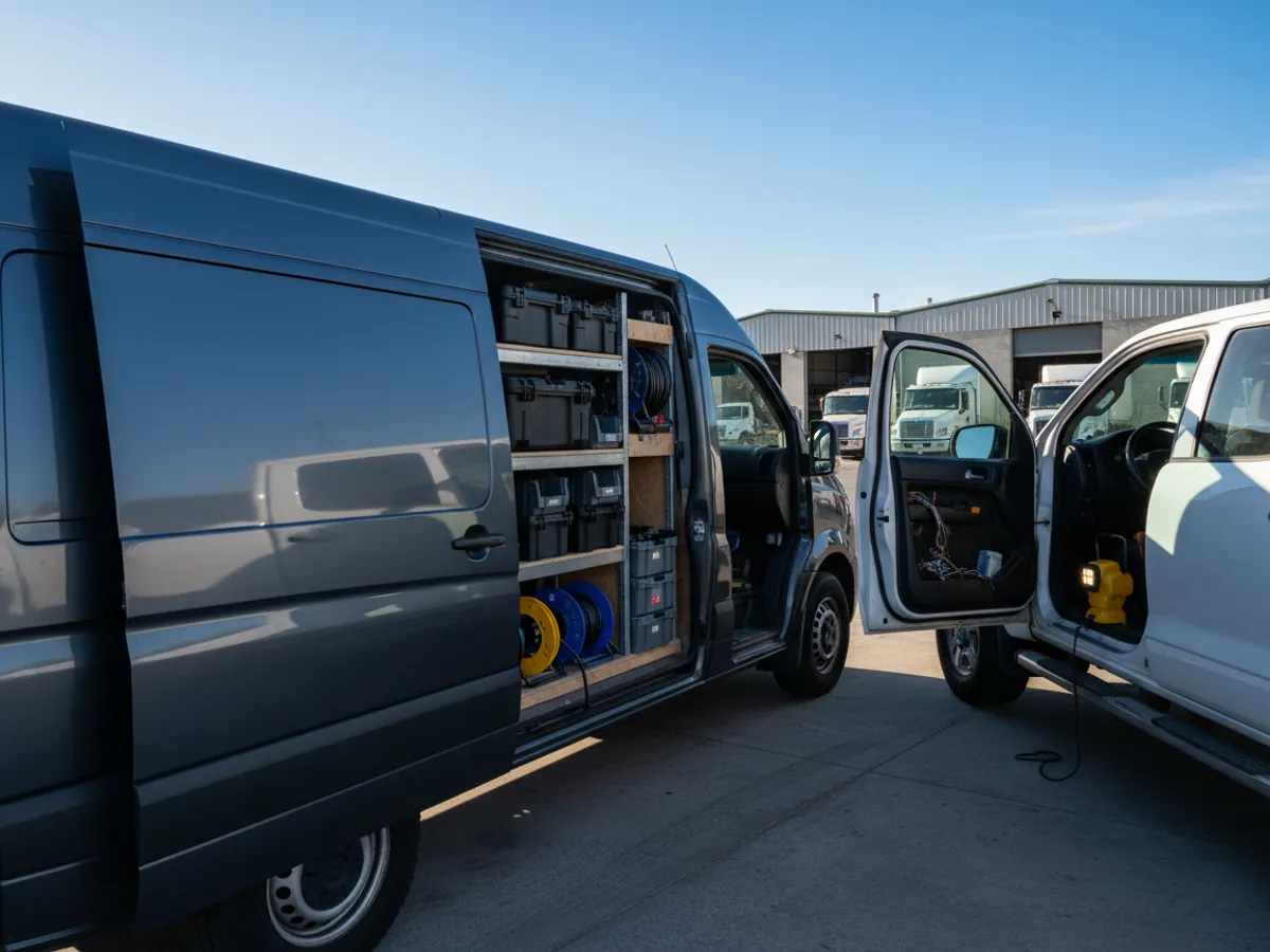
Monitoring starts with fitting a GPS tracker to each vehicle. Our own mobile team does this: fitting takes 30–40 minutes on a car, longer on a lorry or a piece of plant if sensors are being connected. We travel across Baku and out to the regions.
The price of GPS monitoring is made up of four parts:
- the hardware — Teltonika and Queclink trackers from our catalogue, with the model chosen to match the type of vehicle;
- the fitting work;
- the SIM card and mobile data to carry the readings;
- the monthly subscription for the Wialon platform.
What drives the total is not the number of vehicles so much as the set of sensors. A tracker on a car is one figure; a tracker plus a fuel level sensor, a CAN adapter and a video recorder on a tractor unit is quite another. That is why we have no fixed all-in price list.
To work out what the system would cost for your particular fleet and when it pays for itself, use the savings calculator or read our piece on what GPS monitoring costs. We will prepare an exact quote after a short fleet audit.
What goes on the vehicle

A fleet without monitoring and with it
The same vehicles and the same drivers. What changes is where you find out what is going on.
| Without a system | With GPS monitoring | |
|---|---|---|
| Where the vehicle is now | Call the driver | Yes, on the map in seconds |
| Mileage for the waybill | Whatever the driver says | Yes, from the track |
| Private trips and weekends | You find out by chance | Yes, visible in the report |
| Answering a customer about a delivery | By ringing round | Yes, straight from the map |
| Settling a disputed trip | One word against another | Yes, the track for the day in question |
How to get started
Four steps from your enquiry to reports you can use. We prepare a quote for your fleet free of charge within one working day.
- 1 Your enquiry and the list of vehicles
- 2 The quote and an agreed fitting schedule
- 3 Fitting the hardware at your own site
- 4 Setting up reports and alerts in Wialon, and training the dispatcher
Questions about “Online GPS vehicle monitoring”
Request a call
A specialist will call back and match a solution to your fleet and your task.