
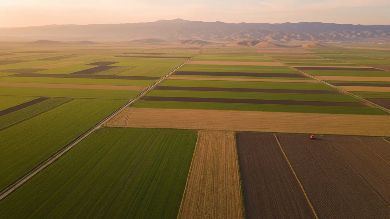
Hecterra: recording field work and the area treated
Hecterra is an application from Gurtam, built on Wialon, for agronomists and farm managers. Working out the area treated, keeping track of machine operators and holding the crop rotation, all in one interface.
See a demo built around your own task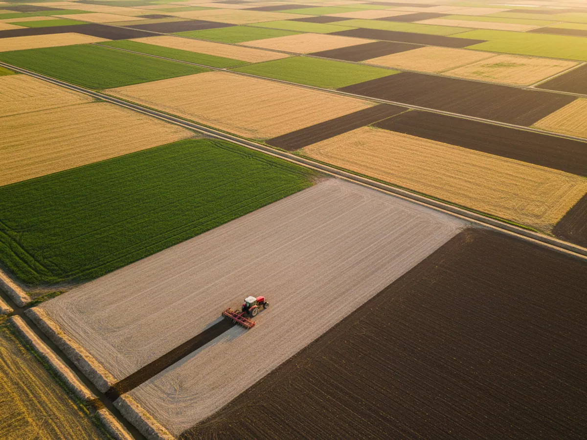
From plain GPS tracking to precision farming
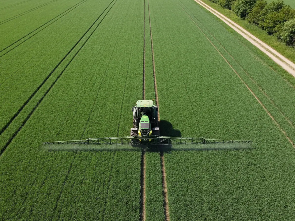
In farming it is not enough simply to see a dot on the map. A tractor can drive about a field without doing any work — with the plough raised, for instance. Our solution uses the specialised Hecterra application. With an implement sensor in place it tells treatment apart from an empty pass, calculates the area using the working width, and does not count the runs between fields. Trackers, fuel sensors and the roll-out before the season are described on the GPS monitoring for agriculture page.
A clear history for every field
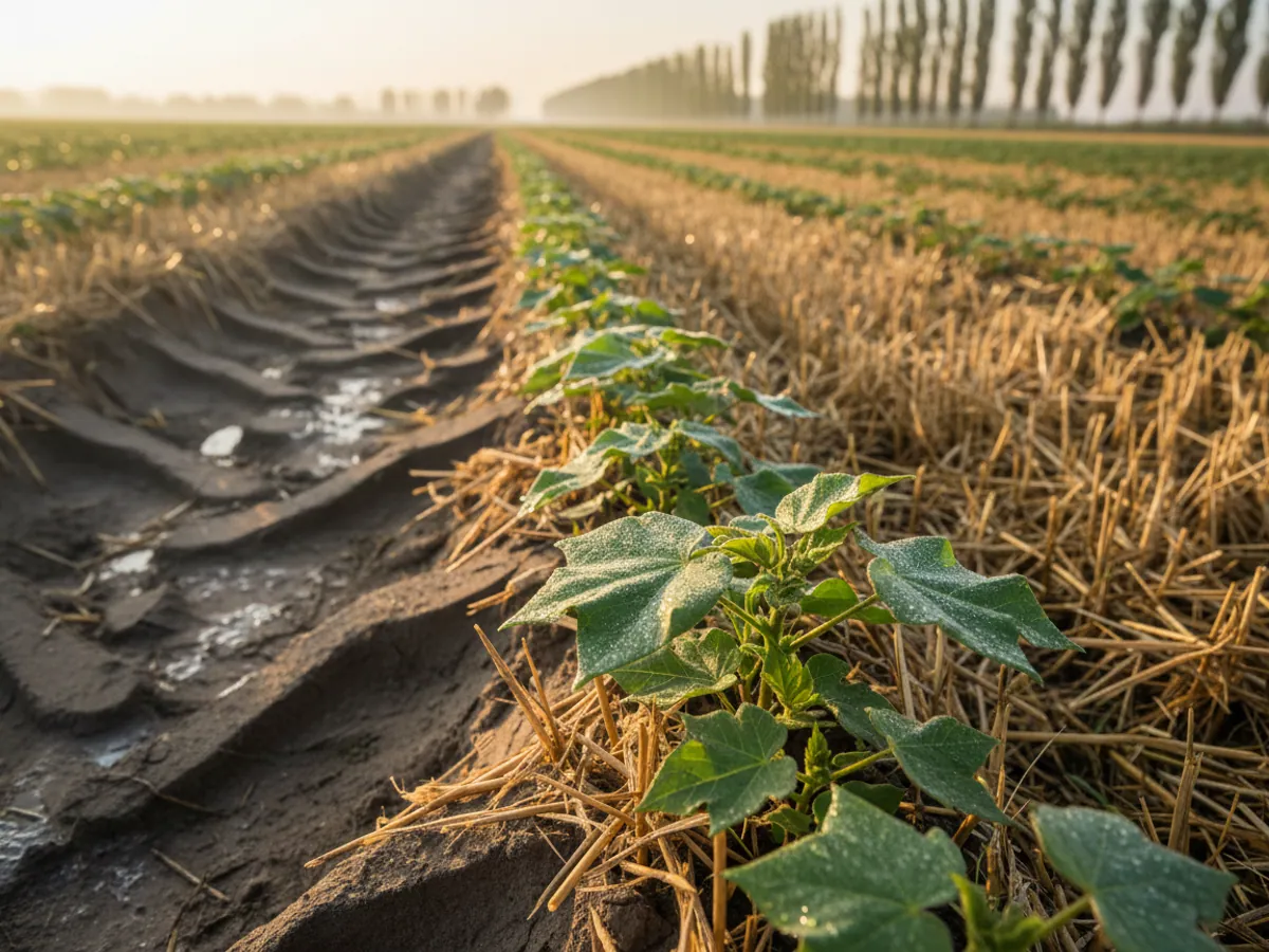
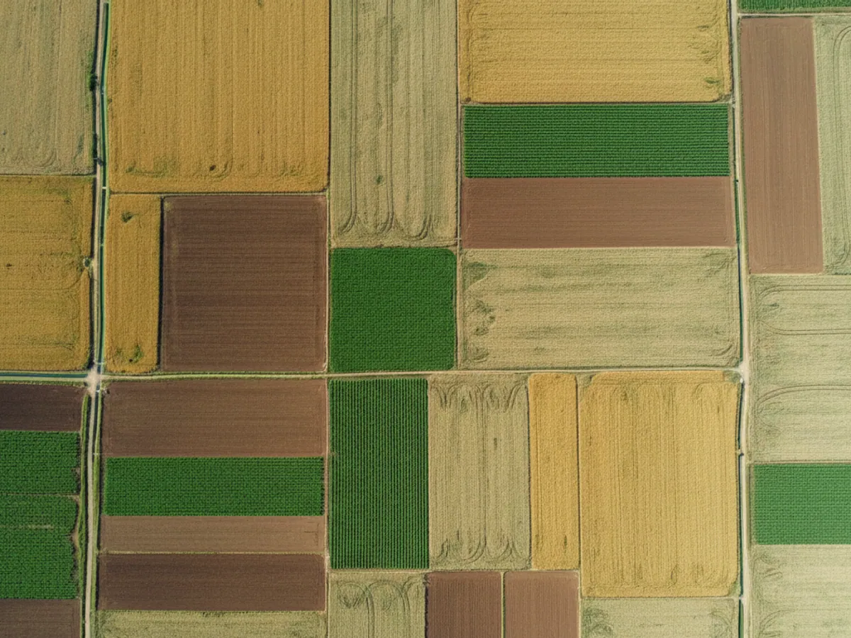
Forget paper logbooks. The system keeps an electronic record for each field. You can see the chronology: what was sown and when (the crop rotation), which machines worked there, who was at the wheel (the driver) and how much fuel actually went into a hectare. The data is held for years, so you can analyse how well each season went and plan future sowing on exact figures.
What it is and how the area is worked out
- The product: Hecterra is an application from Gurtam, the developer of Wialon. It works with the machines in your own Wialon account.
- What GPS.az does: fits the machines with trackers and implement sensors, uploads the field boundaries, builds the implement list with working widths, trains the agronomist and supports you through the season.
- Licensing: the terms for connecting Hecterra are set out in the quotation.
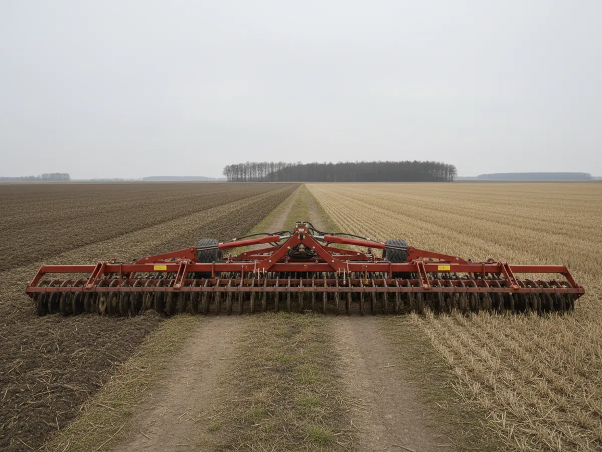
How the area is worked out. The track the machine leaves inside the field boundary is multiplied by the working width of the implement. A pass counts as treatment when the conditions are met: the machine is in the field, the speed is within the working range, and the implement sensor is switched on (where one is fitted). Repeated passes over the same ground are counted by the program as overlap.
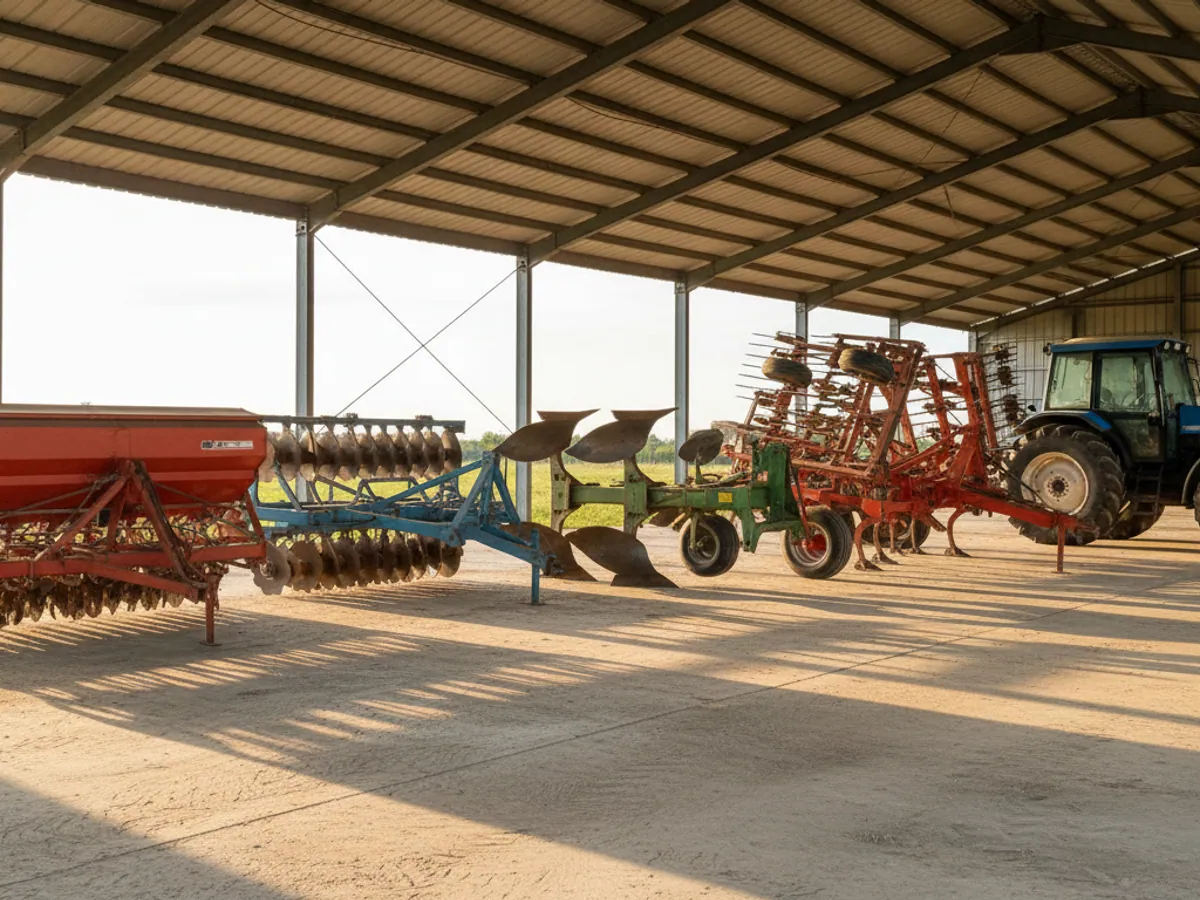
What affects accuracy: the correct working width in the implement list, the presence of an implement sensor (without one, a pass with the plough raised can be taken for treatment), GNSS accuracy at the field edges, and a correct boundary. It is important to see where the limit lies: Hecterra confirms where the implement went and over how many hectares, but not the quality of the agronomic operation — the ploughing depth or the application rate is checked by the agronomist.
Shutting out fiddles and mistakes
Without oversight of the machine operators and the resources, a farming business loses money to inflated figures, idle time and overspending. Hecterra helps with tasks like these:
Hectares written up
The operator says he treated 50 ha, while the track and the working width come to 40 ha. The difference is visible for every field and every shift.
Work on the side
Picking up the cases where your machines are working somebody else's fields for cash, on your fuel and at the cost of your machines' service life.
Departures from the agreed method
Speed is watched during sowing and spraying: going outside the working range shows up in the report and may point to a departure from the agreed method.
Overlaps and misses
The quality of the work is drawn on the map — where the operator went over the same ground twice (wasting seed) and where he left bare patches.
The agronomist's toolkit
Treatments
Detecting field work
Watching fuel use per hectare
The figure that matters here is not litres per 100 km but litres per hectare. The solution brings the record of refuelling and fuel drains together with the record of the area treated. The report then shows which machines are using more than the norm per hectare, and where the fuel level fell during field work with no obvious reason. Every such case is looked into separately by the agronomist or the garage manager.
What the solution gives you
Accurate records
You pay only for work actually done
Resources saved
Fuel and materials kept in view
Simplicity
A friendly Hecterra interface
Automation
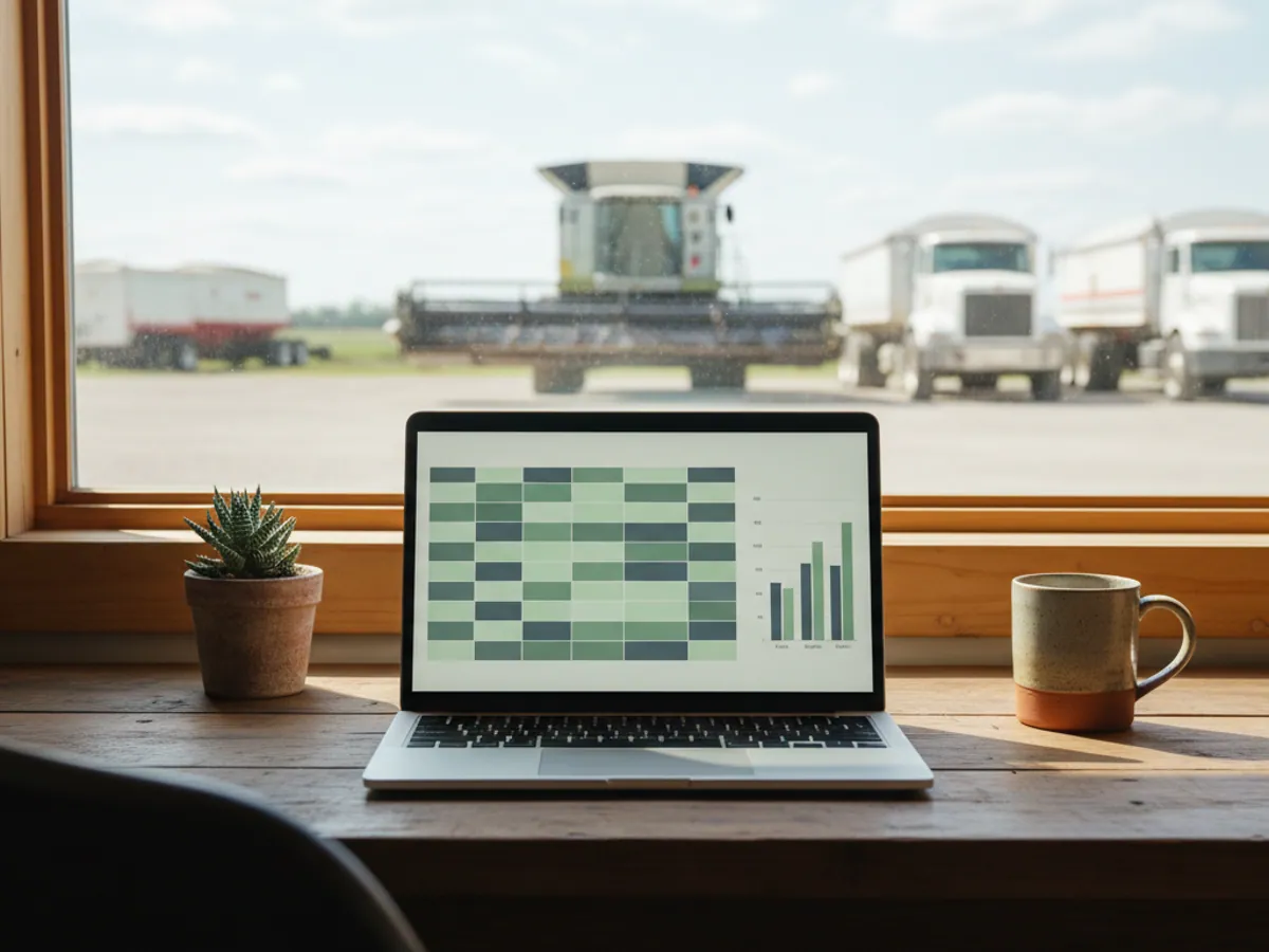
Reports arrive by email on their own
Frequently asked questions
Request a call
A specialist will call back and match a solution to your fleet and your task.