
GPS collars for livestock
GPS collars for transhumant livestock farming in Azerbaijan — from the mountain pastures of Gabala and Gusar to the steppe of Gobustan. Finding strays, an alert when an animal leaves the pasture, and the grazing history on the map. What you will see, and how often, depends on the signal at the pasture and on the collar you choose.
Digital livestock farming as it really works in Azerbaijan
Transhumant livestock farming remains a substantial part of agriculture in Azerbaijan: in summer the herds are driven up to the high yaylags of the Greater and Lesser Caucasus and the Talysh, and in winter they come back down to the plains of Mugan and Shirvan. On the drives and on the summer pastures animals stray, wander onto other people's fields, and fall to predators and thieves.
In short, what a collar gives you. The shepherd sees the collared animals on the map on his phone and gets a signal when one of them crosses the boundary of the pasture. The condition is a signal: a GSM collar reports points where there is a mobile network, and where there is no coverage it stores them and sends them later. On models with an accelerometer the animal's activity is visible too, but that is a prompt for the vet, not a diagnosis.
The limitations are worth knowing in advance: a collar only shows the animals wearing one, the battery has to be charged or replaced to a schedule, and a poorly fitted collar gets lost. We work out the economics for the particular farm — from the number of head, the losses over last season, and the time that goes into searching.
What do we track?
Solutions for different kinds of farm animals
Cattle
herds
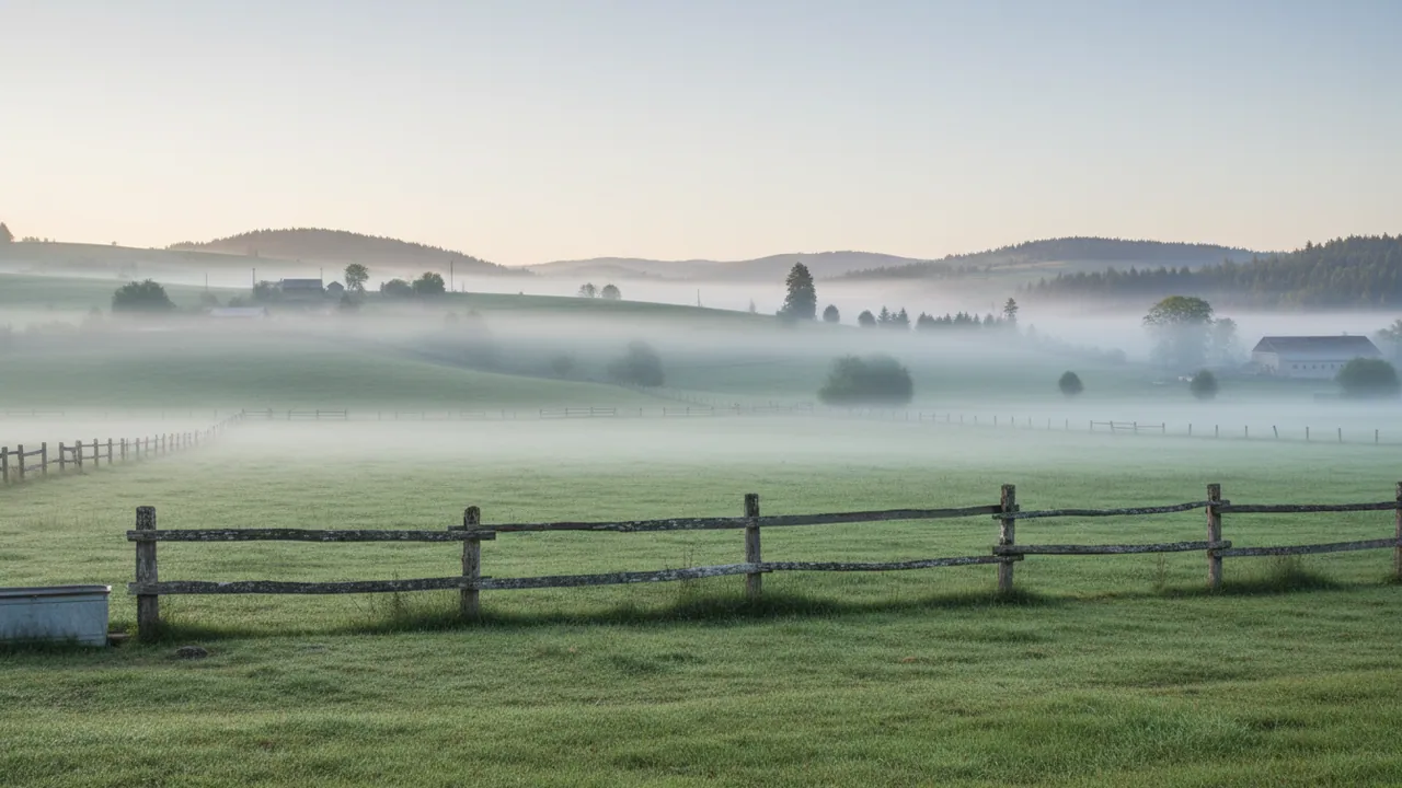
GPS collars for cows on transhumant pastures in the foothills of the Greater and Lesser Caucasus. Finding strays and watching for animals leaving the pasture; on models with an accelerometer, activity data that helps you notice changes in behaviour.
Sheep
and goats
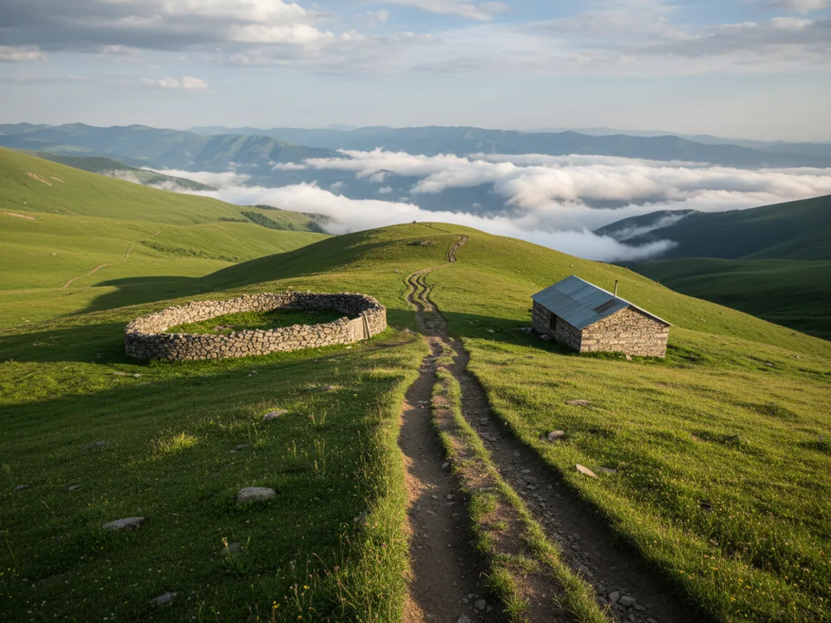
Lightweight GPS collars for sheep and goats: we choose the model and the weight to suit the size of the animal, so that the collar does not get in the way on mountain ground. Keeping count of the flock on remote yaylags, finding strays, and checking that the animals come back from the pasture.
Poultry and
poultry farms
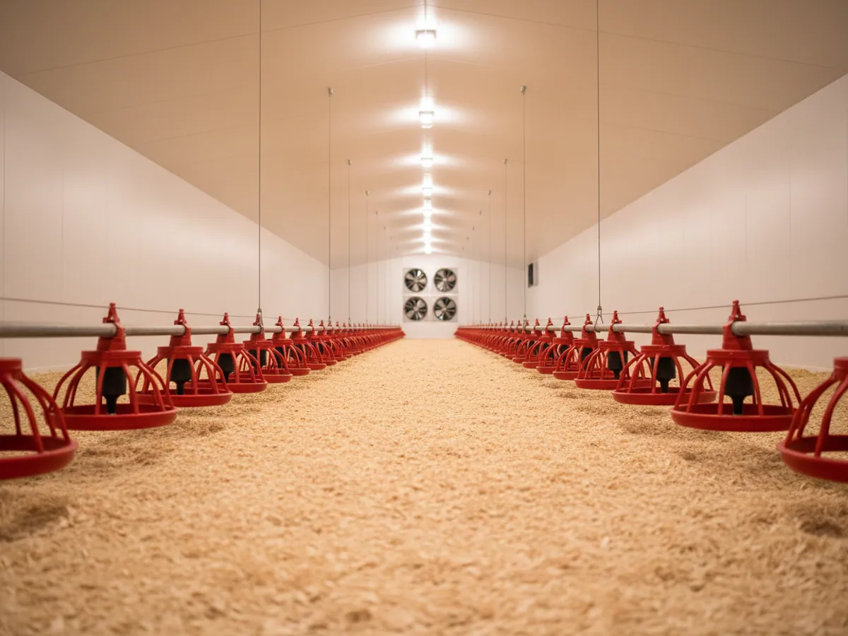
Monitoring of the vehicles carrying birds and day-old chicks between hatcheries and farms, with the temperature regime recorded. Courier routes for deliveries of eggs and chilled produce to HoReCa chains and Baku supermarkets.
Why monitor animals at all
Pasture geofences
An alert when an animal leaves the permitted area or wanders onto a neighbour's fields. The radius of the geofence is set individually — from a few metres at a watering point to kilometres on the high summer pastures.
Activity and health
The accelerometer in the collar records the animal's behaviour around the clock — movement, rest, rumination. Unusual passivity, or hyperactivity, becomes an early signal to the vet of illness, of oestrus or of calving starting.
Protection against theft
The collar shows where the herd went from the pasture and when, and the geofence sends an alert when the boundary is crossed. The movement track is useful material for the owner and for the police, but it is no guarantee of getting the animals back: a collar can be taken off, and in an area with no signal the data arrives late.
Herd and machinery in one account
Collars and farm machinery live in the same Wialon account. For field work the farm can add Wialon Hecterra, Gurtam's app for recording field operations; the herd meanwhile stays on the ordinary map and in the monitoring reports. Exporting to accounting systems goes through the API and is set up separately.
Which GPS collar suits your pastures
A collar is chosen not by the breed of the animal, but by whether there is a signal where the herd spends the summer.
| Type | Connection | Where it suits | What to watch for |
|---|---|---|---|
| GSM collar | The Azercell, Bakcell and Nar mobile networks | Lowland pastures, foothills, winter grazing in Shirvan and Mugan | The most affordable option. In gorges and on distant yaylags the points arrive in a batch, when the animal climbs to somewhere with a signal. |
| LoRaWAN collar | Your own base station at the sheepfold or on a mast | A large farm where the herd grazes the same valley year after year | The battery lasts longer, but you need a base station with a power supply, and the ground limits how far its coverage reaches. |
| Satellite collar | A satellite network, with no masts | High summer pastures with no signal of any kind | It works anywhere under open sky, but it costs more and reports points less often. Usually fitted to a few of the leader animals. |
Farms that have both livestock and machinery usually run everything from one account: tractors and combines are covered in the section on agricultural monitoring, and the sector tasks on the agriculture page.
Summer on the yaylag: how it looks on the shepherd's phone
At the end of May a flock of six hundred head leaves the winter pastures for the summer ones, up in the mountains of the Gusar district. Forty animals are wearing collars — the leaders and the ones that like to stray. The rest follow them.
The shepherd opens the map in the morning and in the evening. If a group of five collars has been standing in a gully outside the pasture for three hours, he goes there rather than combing the whole slope. Strayed sheep in the next gorge are found in an hour that way, instead of a whole day of searching.
The owner, meanwhile, is sitting in Baku and seeing the same thing. He is interested in something else: how many days the herd stood on one plot, whether the pasture has been trampled out, whether all of them came back to the sheepfold for the night. In the past you could only find that out by going up into the mountains yourself.
In the autumn it all happens in reverse. The drive along the roads and beside the main highways is the most dangerous time for the animals. Geofences around villages and highways give a signal if the herd comes closer to them than it should.
Where collars will not help
Better to say this before the purchase than after it.
- A collar will not drive a wolf off. It will show that the herd bolted and where it happened, but the flock will still be defended by the dogs and the shepherd.
- On a pasture with neither a mobile signal nor a base station of your own, a GSM collar will not send data in real time. The points will come in when the animal gets into signal range, which means hours late.
- For a dozen goats in the yard the system is more than you need. The economics start to work from a few dozen head and transhumant grazing, where animals really do get lost.
- In winter in the mountains the battery runs down faster than in summer. The reporting interval is best set less frequent for the cold season.
How we set a farm up
It is all easier to do in spring, before the animals go out to the summer pastures: gathering the herd in one place afterwards will be harder.
We count the herd
How many head, where they winter and where they summer, whether there is a signal on the yaylags. Those three answers tell us which type of collar to use and how many animals to fit them to.
We draw the pastures
Together with the owner we mark the boundaries of the plots on the map, along with the watering points, the sheepfolds and the neighbours' fields that are out of bounds. These become the geofences.
We put the collars on
Better done in the pen before the animals go out to pasture than out in the field. Each animal gets a number in the system, tied to its ear tag.
We train the shepherd
We show him the app on his own phone: where the herd is, which animal has strayed, what each notification means. Half an hour, and after that he manages on his own.
Signal in the mountains and the logistics of the rollout
The terrain of Azerbaijan sets its own requirements for the equipment: mountain pastures at 2000-3000 metres have limited GSM coverage, and the valleys of the Kura and the Aras reach +45°C in summer. We put together a combination of connectivity technologies — GSM, LoRaWAN and a satellite link — for the particular farm, so that tracking holds up across all the grazing areas.
Official animal records are held in the state HİQS system. Our monitoring collects locations and grazing events, and that data can be exported for your own records and for the veterinary file. Any comparison with the state records, or exchange of data with them, is agreed separately once technical access and the authority's requirements have been checked. Traceability of origin matters for exports of meat and wool to Turkey, Russia and the Gulf states.
The battery. How long it lasts is decided by the reporting interval. Before the season we agree the regime: more frequent on the drive, say, and less frequent when the herd stays in one valley. The system shows the charge, so the shepherd can see in advance which collars are running low. Charging or replacement is easiest to plan for a time when the herd is gathered in the pen.
Fitting. A hand should pass under the collar, and the counterweight at the bottom holds the unit at the withers. In summer the animals put weight on around the neck, so the tension needs checking about once a month. The exact collar model, its weight and the way it is fitted for your animals are chosen before the order, by size and breed.
The pilot and the acceptance check. It is better to start with a small group — ten or twenty collars for one season or part of it. Before the start we agree what counts as success: points arriving at the set frequency where there is a signal, the geofence alert firing, the shepherd finding strays from the map himself. After the pilot we decide how many head to fit collars to and whether a different connection is needed.
Frequently asked questions
Start with a pilot on part of the herd
We will choose GPS collars to suit the size of the herd, the signal on your pastures and the farm's budget. A demonstration of the equipment in Baku, or a specialist visiting you in the regions, can be arranged.
Discuss the project