

GPS monitoring for transport companies and fleets
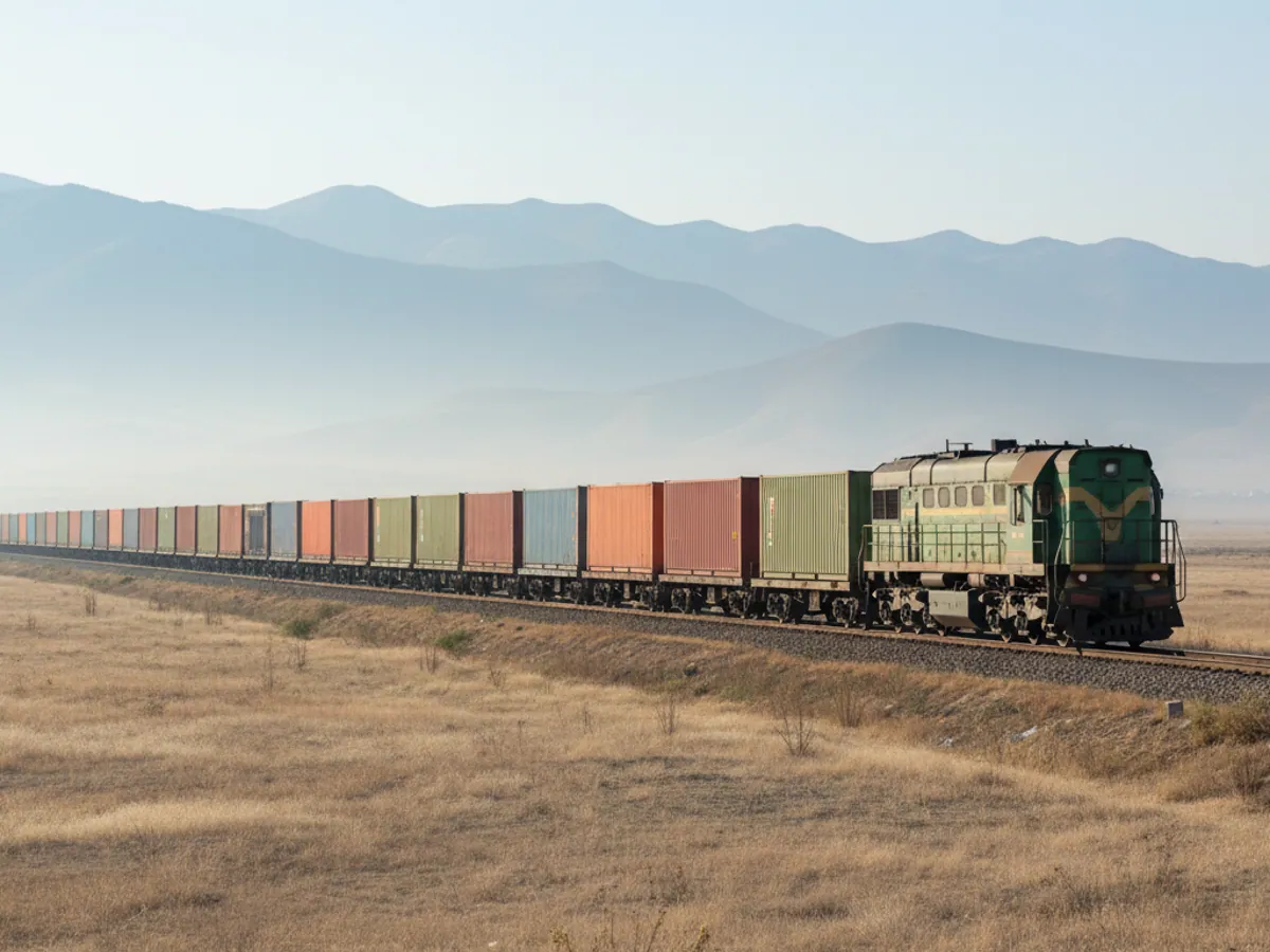
Articulated lorries on the M-2 to Georgia, buses on Baku routes, taxis, tractor units at the port of Alat, electric buses and airport ground handling tugs. They all share one need: to know where the vehicle is, how much it burned and what the driver was doing.
GPS.az fits the trackers and sensors, sets Wialon up around the way you work and stays in touch after the launch. Below is an overview of the industry and a pointer to the right area for you.
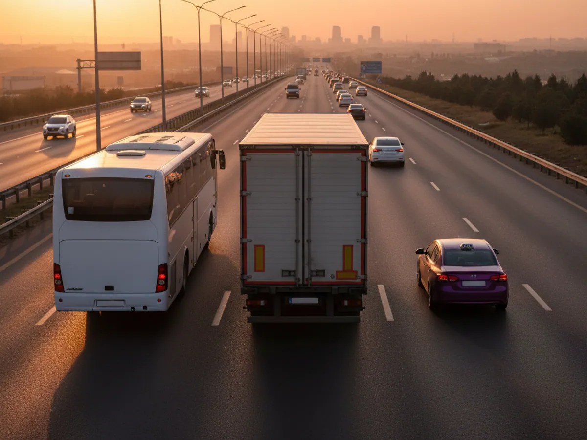
What an articulated lorry, a bus and a taxi have in common
GPS monitoring of transport in Azerbaijan began with long-distance haulage: the owner needed to know where his tractor unit was between Baku and Poti. Today the system is fitted to anything that runs to a timetable or to an order, from a service bus to a locomotive.
The vehicles differ, but the owner's questions are almost always the same. Where does the fuel go. Why does the odometer reading not match the waybill. Which drivers push it and tear through tyres. How many vehicles are really working and how many are standing in the yard under repair.
We have worked with hauliers since 2008 and have seen how quickly the picture changes once the figures stop being collected by hand. In the first month what usually surfaces is what the manager suspected but could not prove.
Solutions by sector: fleets & transportation companies
Where a transport company loses money
Fuel is the largest cost after wages. For a freight haulier it is a third or more of all spending, for a bus depot a little less but still a great deal. And it is the main place where money leaks away.
The typical losses we find in the first weeks after fitting:
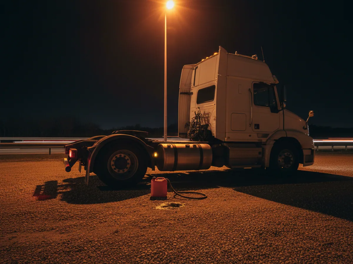
- Drains and refuellings that never reached the tank. A receipt for 400 litres when 330 went into the tank. Or an overnight stop by the road near Yevlakh after which the level drops by 50-80 litres.
- Idling. In winter in Guba and Gusar drivers warm the vehicle up for hours; in summer in Baku they sit with the air conditioning on. An hour of idling on a bus is 2-3 litres, on a tractor unit more.
- Unrecorded runs. The vehicle is listed as under repair or waiting for a load, while the track shows 200 km around Absheron.
- Inflated mileage. In our experience the gap between the waybill and the actual track is usually 5-12%.
- Tyres and repairs after aggressive driving. Harsh braking on the descents of the M-4 through Shamakhi means brake pads, tyres and the load.
None of these problems is visible in the accounts. They are visible only on the fuel level graph and in the track.
Which area to choose
Freight haulage and long-distance runs
If you run tractor units, articulated lorries, refrigerated units or tippers, start with the page on GPS monitoring of freight haulage. It goes through fuel level sensors, the CAN bus, roaming and drivers' hours in detail.
For lorries the main thing is accurate fuel accounting. A GPS tracker without a level sensor will show the route and the stops but will not catch a drain. That is why we almost always fit an immersion sensor to tractor units, and for runs into Georgia, Turkey and Russia a SIM with roaming.
If the fleet includes trailers and semi-trailers that move from one tractor unit to another, they get a battery-powered standalone tracker: it lasts years without being wired to a power supply.
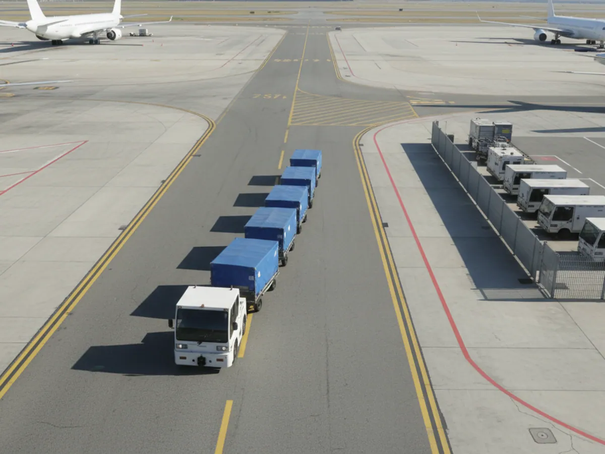
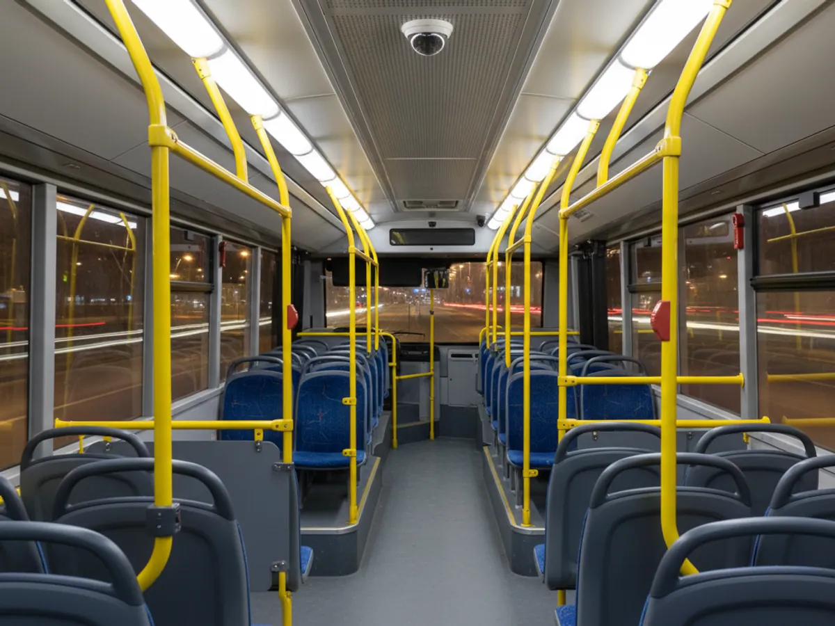

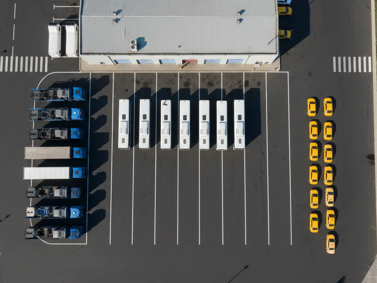
Lorry, bus and taxi: different data, different hardware, different pilot
At a first meeting the client often says we have transport - and that can mean almost anything. Before counting anything we work out which of the three processes is the main one for you. That determines what goes on the vehicle and what you will judge the system by a month later.
- Freight haulage. The main question is the run and the fuel: how much went in, how much was burned, where the vehicle stood, how long the driver drove without a break. The data: track, fuel level sensor, CAN, driver identification, and on international runs tachograph files and roaming. In the pilot we usually reconcile the litres from the fuel level sensor against the filling station receipts and the mileage from the track against the waybills for one or two runs.
- Passenger transport. The main question is whether the timetable is kept to and how people drive. The data: track, geofences at the stops, door sensors and, where needed, passenger counters and cameras in the cabin. In the pilot we reconcile the number of journeys completed and stops missed against the dispatcher's log on one or two routes.
- Taxis and aggregators. The main question is the driver's shift and the mileage on the vehicle, particularly if it is hired. The data: track, ignition, driver identification, sometimes a camera and the data from the booking app. In the pilot we reconcile the mileage from the track against the mileage from the bookings and look for trips taken outside a shift.
Where the system's limits lie. A tracker shows what happened to the vehicle. It does not know why the driver stood for two hours at a warehouse, and it does not replace the contract with the consignee, the route timetable or the rules of working with an aggregator. We need those documents during the pilot as the reference to check against.
If the fleet is mixed, it is better to split the pilot: two or three lorries and one bus route will give a clearer result than twenty different vehicles at once.
How the system works on Azerbaijan's roads
Every 15-60 seconds the tracker in the vehicle records the position, speed, ignition, fuel level and CAN data. The packets go over Azercell, Bakcell or Nar to the Wialon server, and the dispatcher sees them in a browser at go.gps.az or on a phone.
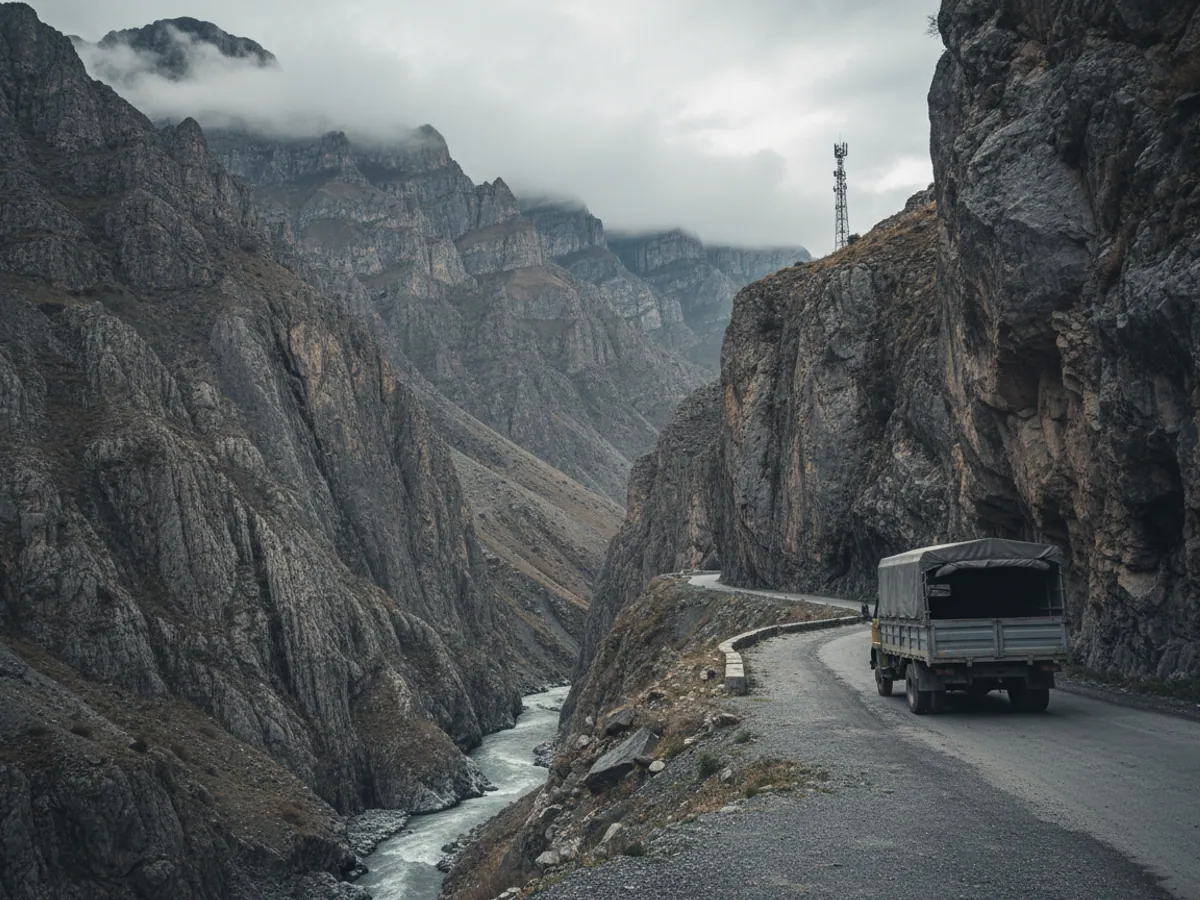
The signal does not reach everywhere. On the passes beyond Guba, in the gorges on the road to Lahij and in parts of Karabakh it is lost for tens of minutes at a time. The tracker does not fall silent meanwhile: it stores the points in memory and sends them all at once when the network returns. There will be no gaps in the track, the data will simply arrive late.
For vehicles that head out along the Middle Corridor, onto the ferry to Aktau or into Iran on the M-3, we supply a SIM with roaming and set a less frequent reporting rate so that you do not overpay for data. Heat of +40 °C on the Kura-Aras lowland is another factor: cheap trackers without a proper temperature range reboot themselves in summer, so we fit models we have tested.
For the reports it is not only the point on the map that matters. Geofences around depots and filling stations, consumption norms by model, shift schedules - all of it is configured for your fleet. How the platform itself is built is described on the page about online transport monitoring.
The equipment we fit to vehicles
A tracker to suit the vehicle type
For cars and small vans a compact tracker such as the Teltonika FMC920 is enough. For lorries and buses carrying sensors we take models with more inputs and an RS-485 interface - the FMC650, for instance.
Fuel level sensor
An immersion fuel level sensor is calibrated in the tank itself, with fuel added in batches of 10-20 litres. Drains show up more reliably on it than on the consumption figure from CAN, provided the calibration is done properly and the tank is sound. How this works is explained in the section on fuel control.
CAN adapter
A contactless reader takes mileage, engine speed, consumption and fault codes off the bus without cutting into the wiring. On older vehicles with no CAN we fit engine operation sensors instead.
Video and ADAS
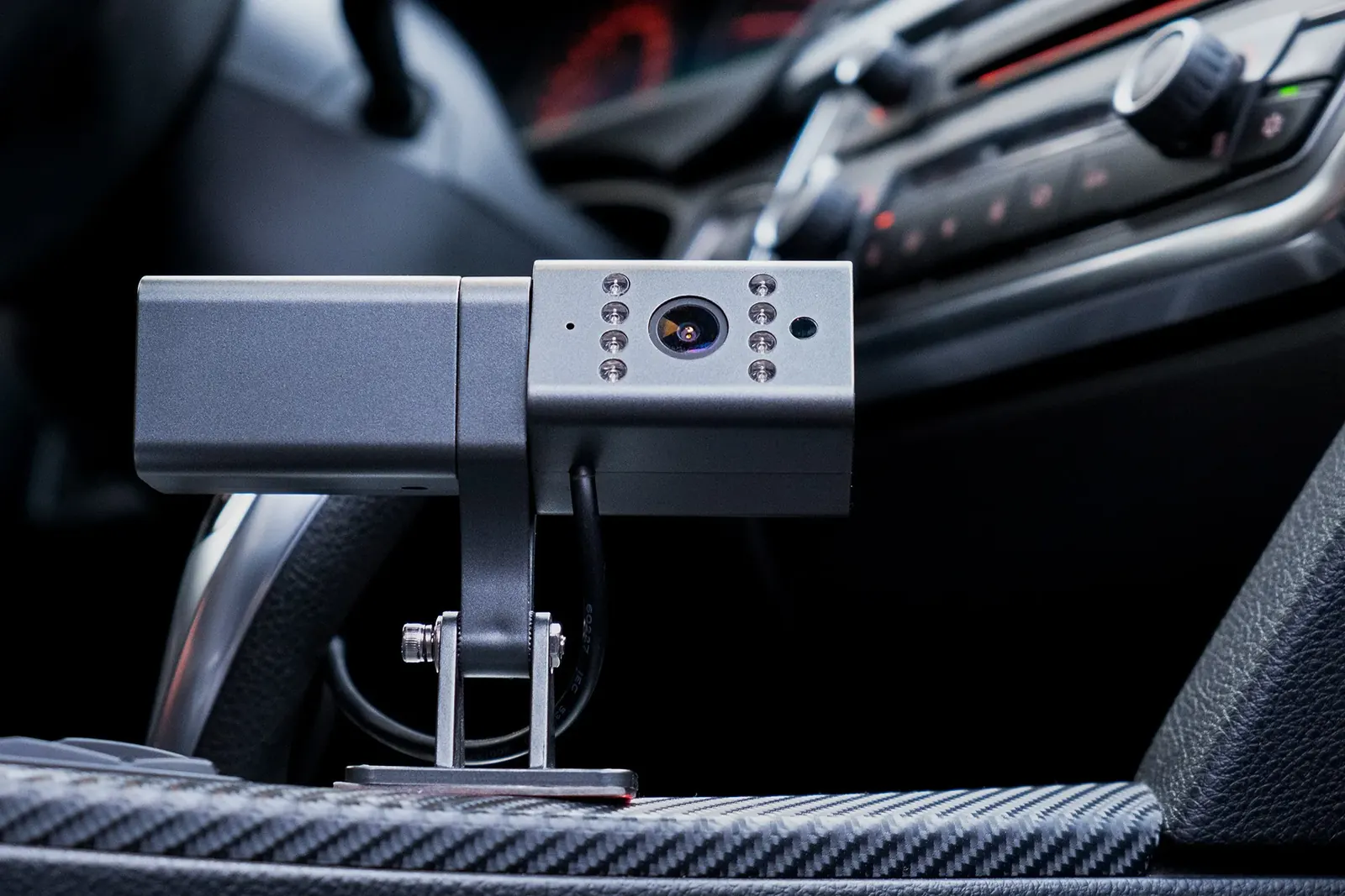
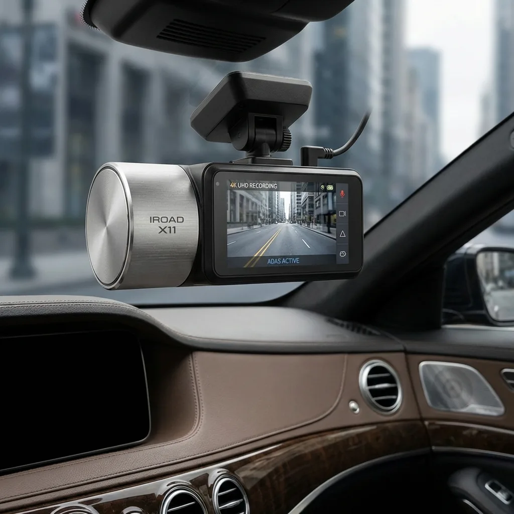
A video recorder with two to four cameras and a driver fatigue sensor. For buses and taxis a camera in the cabin often pays for itself at the first disputed accident.
Driver identification
A card or an iButton fob with which the driver signs in to the vehicle. Without it the reports are written against the vehicle rather than the person, and arguing about penalties is difficult.
Tachograph
For international runs - remote downloading of tachograph files and reports on driving and rest times.
How a deployment runs
For a fleet of 10-30 vehicles it usually takes between two and four weeks from the first call to working reports. Large fleets are connected in waves so that no vehicle stands idle.
1. A conversation and a fleet audit
We find out which vehicles you have, what you need and where it hurts most. Sometimes it turns out that half the fleet does not need a fuel level sensor at all, only a tracker and driver identification.
2. A pilot on 2-5 vehicles
We fit equipment to the most troublesome vehicles and show the first reports two weeks later. The criteria for deciding whether to go further are agreed before anything is fitted: whether the litres from the fuel level sensor match the receipts, for instance, and the runs on the track match the log. From you we need waybills, receipts or refuelling records for the pilot period and someone who will look at the notifications.
3. Fitting to a schedule
The fitters come to your base in Baku, Sumgait, Ganja or another town and work in the evening or at the weekend, when the vehicles are not out on a run. One tractor unit with a fuel level sensor takes 3-5 hours.
4. Setting up Wialon and training
We enter the consumption norms, the geofences, the notifications and the access rights for the dispatcher and the accounts department. We run the training on your own vehicles, not on a demo.
5. Ongoing support
For the first months we go through disputed drains and odd graphs together with you. After that there is technical support and a call-out for repairs if the tracker is damaged in an accident or someone has tried to disconnect it.
Honestly about what GPS does not solve
A tracker will not replace a competent garage manager. It provides the facts; the decisions based on them are made by a person. If nobody opens the reports, there will be no savings.
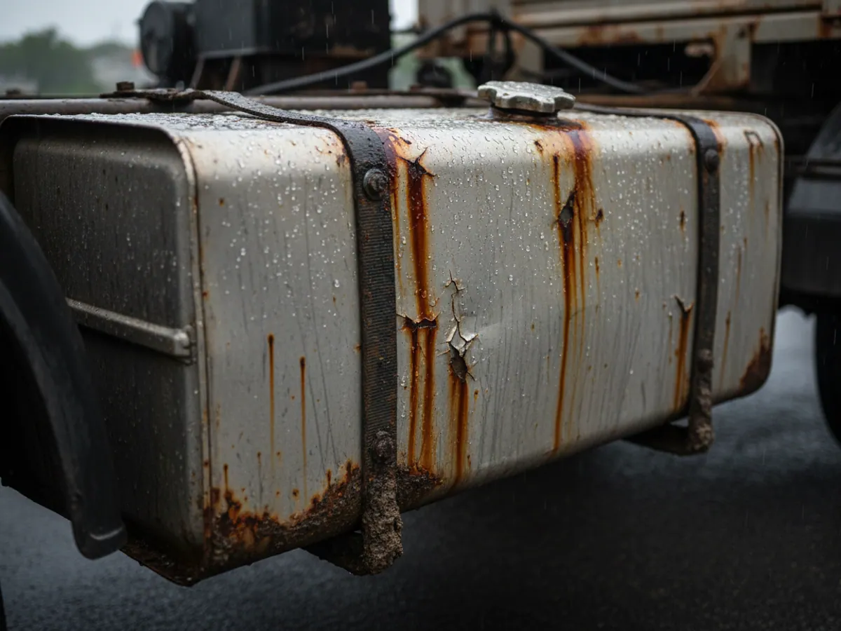
On older vehicles with no CAN, consumption cannot be calculated from the bus. A fuel level sensor is needed, and that requires calibration and a clean tank. If the tank is dented or full of sediment the sensor will give false readings, and we will say so before fitting anything.
In the first weeks drivers sometimes try to cut the power or cover the aerial. The system sees this: a loss of power and a loss of signal both arrive as notifications. But it is for the manager to act on them.
And one last point. Savings cannot be calculated to the manat in advance. We give typical ranges: in our deployments on freight vehicles fuel consumption falls by 15–25%, and on company cars the effect is smaller. You can work out rough figures for yourself in the savings calculator.
Questions from transport companies
How it is used in this industry
Case studies from “Fleets & Transportation Companies”
GPS monitoring for “Fleets & Transportation Companies”
Send us an enquiry and we will prepare a quote for your fleet and pick the hardware that suits this industry.
- 1 We pin down the task
A specialist calls back and asks about the vehicles, how many there are and what you need to keep an eye on.
- 2 We put a solution together
We propose the hardware and the features, and set out the one-off and the monthly cost separately.
- 3 We agree the fitting
At your yard or at ours, on a schedule that keeps the vehicles working.
Request a call
A specialist will call back and match a solution to your fleet and your task.