
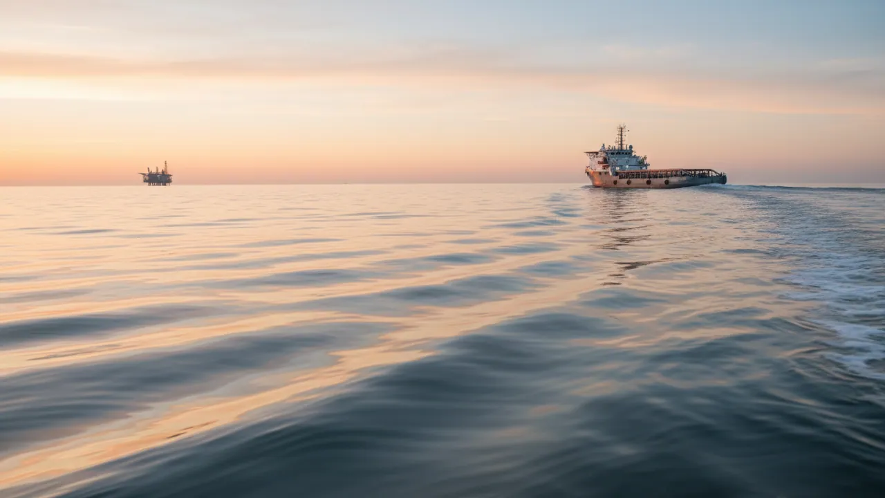
Satellite monitoring for sea and river transport in Azerbaijan
Monitoring for tugs, supply vessels, launches, barges and fishing boats on the Caspian, the Mingachevir reservoir and the lower reaches of the Kura. The owner sees position and heading, fuel consumption of the main engines and generators, engine hours and alerts raised by the crew — in the same account that already runs his road fleet.
The Caspian is not the open ocean, but it is not a motorway either
Most of the work done by Azerbaijan's small and auxiliary fleet takes place close to shore: tugs in the port of Alat and in Baku Bay, launches and supply vessels running out to the offshore platforms, fishing boats off Neftchala and Lankaran. Ordinary mobile coverage reaches all of this, and that makes monitoring far cheaper.
But once a vessel goes more than 20-30 kilometres offshore, the network disappears. Voyages like that need a satellite channel, or at the very least a tracker with plenty of memory that will upload the whole passage on return.
The largest cost item for any vessel is fuel. A tug or a supply vessel burns as much in a day as a tractor unit does in a month, and checking that against the ship's log is all but impossible. Vessel monitoring is built around two things: where the vessel has been, and how much fuel actually went into the engines. The general principles that apply to every kind of transport are collected in the section GPS monitoring for transport companies.
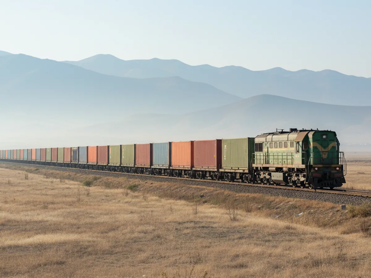
Which vessels we fit out, and why
- Harbour tugs and pilot launches. They work on call and often sit alongside with the engines running. The main job here is engine hours, idling and a record of the work done on each operation, so that it can be invoiced.
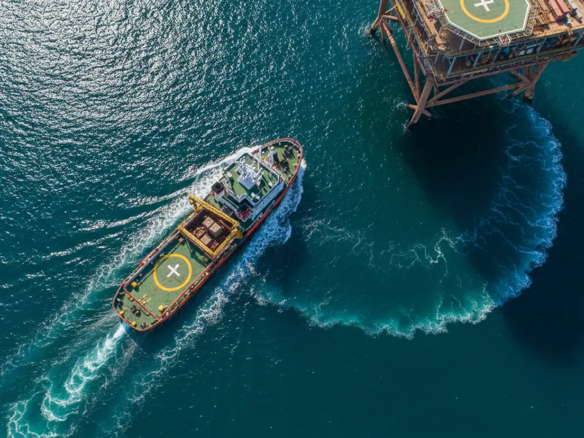
- Supply vessels and crew boats running out to the offshore platforms. What matters is passage time, fuel consumption and the safety of the people on board.
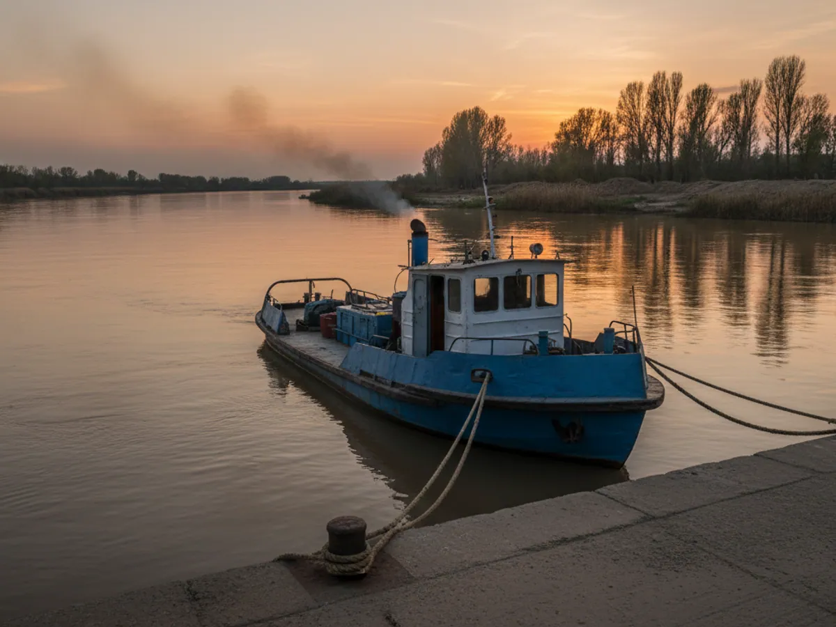
- Barges and dumb pontoons. No engine of their own and limited power. We fit a battery-powered tracker so you can see where the barge is and whether it has drifted from its mooring.
- Fishing vessels. Monitoring of fishing grounds and time at sea. Particularly useful when a company has several boats and skippers.
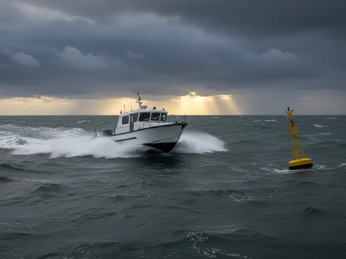
- Pleasure launches and yachts for hire on the Baku boulevard and in the resort area of northern Absheron. The job is to keep the boat inside the permitted area and to know where it is if a customer has not come back on time.

One tug job: from the call to the line on the invoice
Take an ordinary day for a harbour tug in Alat. The port dispatcher issues a request to assist a vessel, the skipper starts the main engines, the tug leaves the quay, works alongside, returns, and then sits for a while longer with the engines still running.
What the system sees in that sequence:
- Departure and return. Leaving the quay geofence and coming back into it — with times and the track in between.
- Engine running. Engine hours for each main engine and generator, separated into steaming, working alongside and idling at the wall.
- Fuel per operation. Litres by flow meter, broken down by engine, where flow meters are fitted. Without them, only level sensors, corrected for the sea state and with lower accuracy.
- Alerts. A button pressed on the bridge, leaving the working area, loss of communication for longer than a set time.
What the system does not know and does not do. It does not receive the port dispatcher's request by itself: the operation number is entered by hand or passed in through an integration, if the client has an accounting system of his own. It does not navigate the vessel, does not replace AIS, radar, a chart plotter or the ship's log, plays no part in collision avoidance and does not issue distress signals under maritime rules. Any decision on an alert is taken by a person ashore: the dispatcher sees the signal with a coordinate and makes the calls set out in his own procedure.
Power on board, and when the tracker goes quiet
The commonest question after communications is what the tracker runs on while the vessel is idle.
- A vessel with a ship's supply. The tracker runs off the 12 or 24 V system through a fuse and a filter. Its internal battery keeps it going for a few hours if the supply is switched off alongside. If the vessel sits without power for weeks, the tracker will eventually shut down — that has to be allowed for in the procedure.
- A barge or pontoon with no supply. A battery-powered tracker reports in several times a day. The rarer the session, the longer the battery lasts. There is no live track here: you see where the barge is standing, and you get an alert if it has been moved.
- A small boat. A waterproof tracker charged from the boat's own battery. If that battery goes flat, the tracker runs on its own for as long as it lasts.
A gap in the track usually has one of three explanations: there is no network and the data is still in memory, the tracker has lost power, or the aerial is damaged. In the report we separate these cases by the last message and the supply voltage, so that the dispatcher does not mistake a loss of communication for a breach of the rules.
The main risks shipping companies run without monitoring
There are fewer witnesses on the water than on the road. Which is why the losses an owner is the last to hear about are larger here.
Fuel goes over the side
Diesel sold from one vessel to another at sea, short measures during bunkering, inflated consumption in the log. We are talking about hundreds of litres a voyage, sometimes tonnes.
Idling
A tug sits alongside with the main engines running, a generator turns all night under no load. Engine life on a vessel is expensive, and hour-based servicing comes round sooner than it should.
Straying outside permitted areas
Entering grounds closed to fishing, or the restricted zone around offshore structures. The consequences are fines and trouble with permits, and there is nothing to prove where the vessel actually was.
What the vessel monitoring system can do
Position, heading and voyage history
The vessel on the map with heading and speed in knots, the track for any period, time spent alongside and at sea. A voyage is split automatically into legs: leaving port, passage, working at the platform, return.
The ship's AIS stays exactly where it is — it is there for navigation and the safety of movement. Our tracker does a different job: it delivers data to the owner along with fuel, engine hours and sensors that AIS does not carry.

Communications at sea: where GSM is enough and where you need satellite
This is the first question we go through with every owner, because the cost of the service depends on the answer.
Inshore work. Harbour, bay, passages along the coast as far as Sumgait or Sangachal. Mobile coverage is sufficient and the tracker behaves just as it would on a vehicle.
Runs to the offshore platforms. Part of the route has no network. The tracker writes points to memory — several thousand records — and sends them once the vessel comes back into coverage. There is no live picture in the middle of the passage, but you will have the full track and the fuel figures.
Long passages and crew safety. If the vessel has to be visible at all times, or the panic button matters far from shore, we add a satellite modem. Messages over satellite cost more, so we send only position every 15-60 minutes and alerts over that channel, and the full set of data over GSM near the coast.

Fitting on board
Salt, damp and vibration kill electronics faster on a vessel than they do ashore. Which is why we do not fit the tracker wherever happens to be convenient.
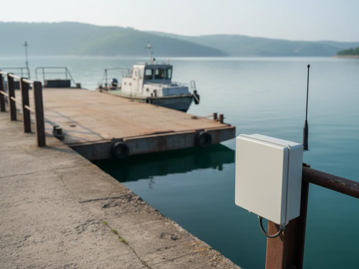
- The tracker goes in a dry space, in the wheelhouse or in a cabinet, powered from the ship's supply through protection. GPS and GSM aerials go outside, with watertight glands.
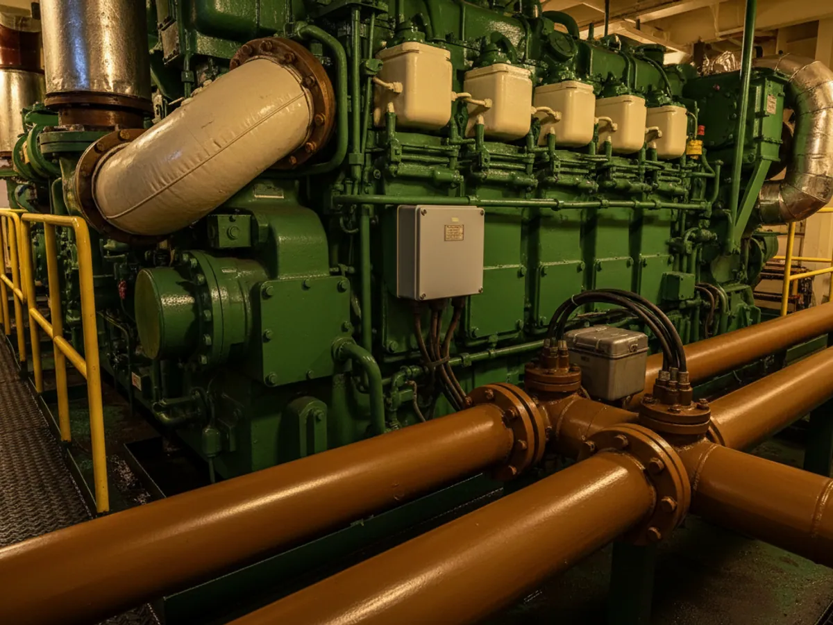
- Flow meters are cut into the engines' fuel lines while the vessel is alongside. The work takes 1-2 days per vessel depending on the number of engines.
- We calibrate the tanks during bunkering: a known volume is taken on and the sensor readings noted.
- For small boats with no ship's supply we fit a waterproof battery-powered tracker.
We work at the quays in Baku and Alat. Trips to other areas are arranged separately. There is a separate page about fitting level sensors: fuel level sensor installation.
Stages of fitting out a vessel
Survey of the vessel
We look at the engines, the fuel system, the tanks and the electrical supply. We decide where the tracker, the aerials and the flow meters will go.
Choice of communications channel
From the vessel's routes we decide whether GSM plus memory will do or a satellite link is needed. Data costs are worked out in advance.
Fitting alongside
Cutting in the flow meters, fitting sensors in the tanks, running cables. We keep the vessel out of service no longer than we have to.
Calibration and checking
We calibrate the tanks, check consumption on a trial run and tune the event thresholds to allow for the motion.
Reports for the shore
We set up a voyage report: time, distance, consumption for each engine, engine hours. Export to Excel for the accounts department.
A pilot on one or two vessels: what we need from you
There is no need to start with the whole fleet. For a pilot, one tug or supply vessel with a predictable schedule is enough, plus one barge with a battery-powered tracker if you have one. Allow a few weeks, so that the sample takes in both ordinary jobs and a bunkering.
From your side we shall need:
- access to the vessel alongside and a contact for the chief engineer — he knows the fuel system better than the drawings do;
- the ship's log and the bunker receipts for the pilot period, so that there is something to reconcile against;
- the coordinates of the quays, the working areas and the zones that must not be entered;
- a responsible person ashore who receives the alerts and decides what to do about them.
The voyage report we set up for a pilot is a table with these columns: vessel, time of departure and return, distance run in miles, engine hours for each engine under load and idling, fuel consumption by engine, bunkerings, alerts and periods without communication. That same table sits conveniently alongside the log.
Acceptance criteria are agreed in advance: for example, that every bunkering from the receipts shows in the level sensors, that consumption by flow meter matches the log within agreed limits or the discrepancy has been explained, and that an alert from the bridge reached the responsible person ashore. After that you decide which vessels to fit out next and whether a satellite channel is needed anywhere.
How to judge the payback on your own fleet
Start with daily consumption
Take the vessel's average daily consumption from the log. Even a 5% difference between the log and reality on a tug comes to hundreds of litres a week.
Count the idling hours
How many hours a day the engines run alongside. Halving idle running usually yields more than chasing drains does.
Allow for engine life
An overhaul of a marine engine is one of the most expensive items there is. Every hour of idling brings it closer.
Do not forget communications
Satellite data is a noticeable cost item. If the vessel works close inshore, satellite may not be needed at all.
Frequently asked questions (FAQ)
What is used in this sector
What we do end to end
Wialon modules for this sector
How it is used in this industry
Case studies from “Fleets & Transportation Companies”
Thinking of rolling out GPS monitoring in “Sea and river transport”?
Send us an enquiry and we will price it up for your fleet and pick the hardware for this sector: fleets & transportation companies.
- 1 We pin down the task
A specialist calls back and asks about the vehicles, how many there are and what you need to keep an eye on.
- 2 We put a solution together
We propose the hardware and the features, and set out the one-off and the monthly cost separately.
- 3 We agree the fitting
At your yard or at ours, on a schedule that keeps the vehicles working.
Request a call
A specialist will call back and match a solution to your fleet and your task.