
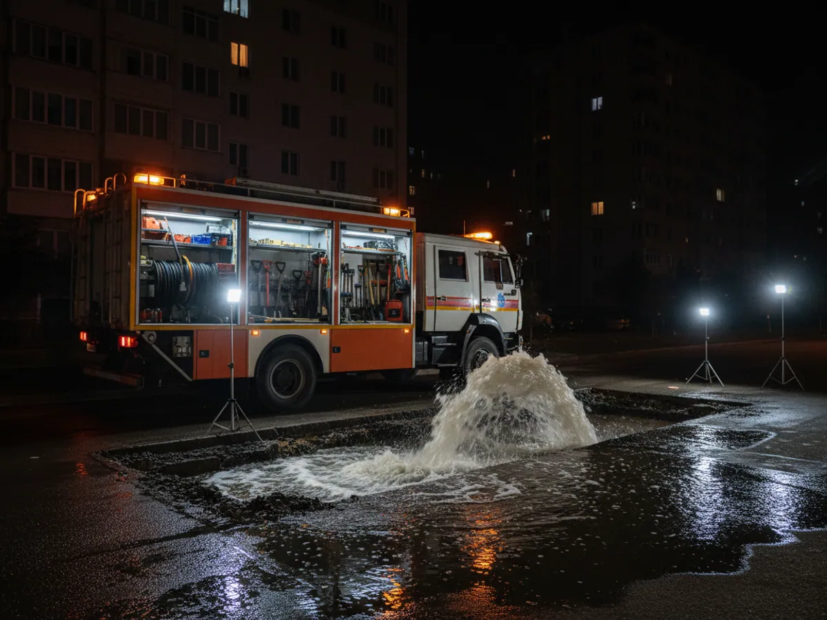
GPS monitoring for water, electricity and gas utilities
Monitoring of repair and emergency crews, vacuum tankers, aerial platforms, excavators and mobile generators for water, electricity and gas undertakings — in Baku, on the Absheron peninsula and in the districts.
The dispatcher sees which crew is nearest to a burst, whether the pump is running at the site and how much fuel went into the generator rather than into private errands.
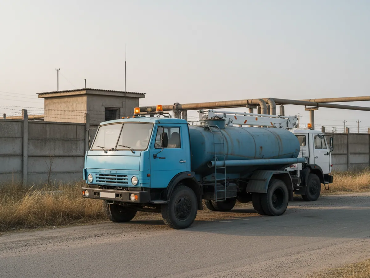
A burst main will not wait while a crew is found
GPS monitoring for water, electricity and gas utilities answers two needs at once. The first is sending the nearest crew with the right plant to an incident quickly. The second is knowing what that plant is doing when there are no incidents.
Water, electricity and gas undertakings have hundreds of vehicles scattered across the districts: from old GAZ-53 water tankers to new aerial platforms on Isuzu and Hyundai chassis. Without monitoring the dispatcher finds out where a crew is by telephone, and the vacuum tanker's waybill says work on site for the whole day — even when the site was somebody's private septic tank, paid for in cash.
We fit trackers and sensors that show when the plant is working, set up Wialon and build reports for the control room and the chief engineer. The other municipal topics — waste collection, emergency services, municipal transport — are collected on the GPS monitoring for municipal services page.

A burst at 3 in the morning: how it looks in the system
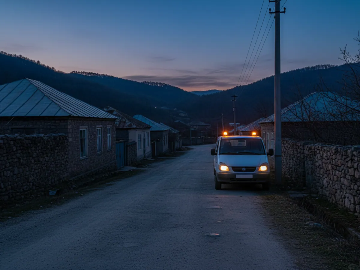
At 2:50 a call comes into the control room: water is coming up through the tarmac in Ahmadli. In the past the dispatcher would ring round the duty crews asking where everyone was. That took 10-15 minutes, and what turned up was often not the nearest vehicle but the one whose driver answered first.
With monitoring the dispatcher puts the incident on the map and sees at once: the nearest duty vehicle with a pump is 3.5 km away, in the garage on Gara Garayev, with its engine switched off. Another is 6 km away, but it is an aerial platform and no use here. The excavator is at the depot in Khatai district.
Assigning the job takes a couple of minutes. When the crew arrives, the system records the time. When the pump starts, it records the time work began. In the morning the incident report carries three figures: how long they travelled, how long they worked, how much fuel the pump used.
If a month later residents complain that the crew took two hours to arrive, the undertaking has the track and the times to the minute.
The black holes in water and electricity budgets
A lack of oversight breeds abuses that go unseen in the waybills for years on end:
Jobs on the side
The vacuum tanker empties a private septic tank, the excavator digs a trench on somebody else's land, the aerial platform prunes a private owner's trees — for cash and on the undertaking's fuel.
Fuel for warming up
Diesel drained from the tanks of plant and written off as work under load or warming up. Without level sensors there is no way to tell one from the other.
Slow response
The dispatcher does not know where the crews are and sends a vehicle from the other side of the city. In the Baku rush hour that adds 30-40 minutes to putting the fault right.
Paper visits
The report shows a scheduled inspection of a substation in Binagadi, while the vehicle stood outside the driver's house all day. The only way to check is the track.
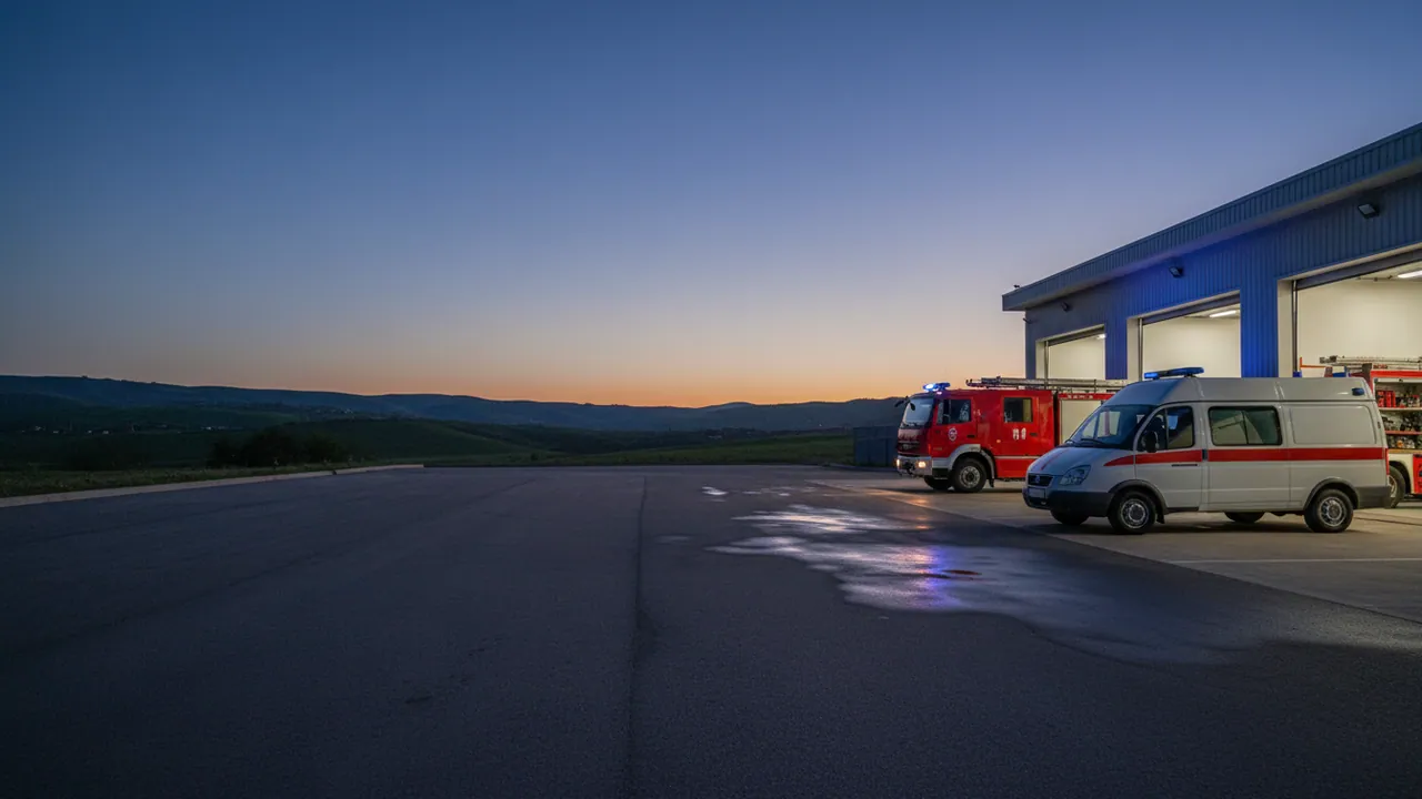
A job ticket for an incident: where monitoring works and where the foreman does
An emergency service already has a procedure of its own: the call, the job ticket, the crew, the repair, the closure. Monitoring does not replace it but adds to each step a fact that previously had to be taken on trust.
- The job ticket. The call and the ticket are handled by the control room — in its own software, a logbook or a spreadsheet. The dispatcher sends the ticket number and the address to the crew, including through the foreman's mobile app.
- Departure and arrival. The system records the time of leaving the depot and of entering the geofence at the address by itself. There is no longer any need to ring the crew and ask where they are.
- Work on site. Sensors show how long the pump, the excavator's hydraulics or the generator ran. That appears in the same report against the job ticket.
- Confirming the repair. That comes from the foreman: a note in the app, a photograph of the site after the work, and where necessary the signature of the customer's representative. The system records when and where this was done.
- Closure. The dispatcher closes the ticket in his own system. If a new call comes in for the same address a day later, that shows in the history of visits.
The job ticket report usually contains: ticket number, address, crew and vehicle, time of assignment, of departure and of arrival, time the mechanism worked, fuel consumption, and the foreman's note that the fault was put right. We choose the columns to match the form your control room submits.
What monitoring does not know is whether pressure in the main or voltage on the line has been restored. That is shown by metering and network telemetry, where those exist. Data about the vehicles can be passed into your control room software through integrations, and the exchange format is agreed with its developer.
Tools for the control room and the engineers
The nearest crew of the right kind
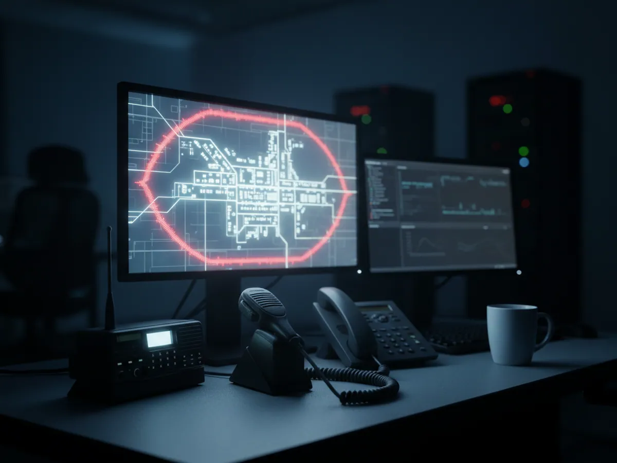
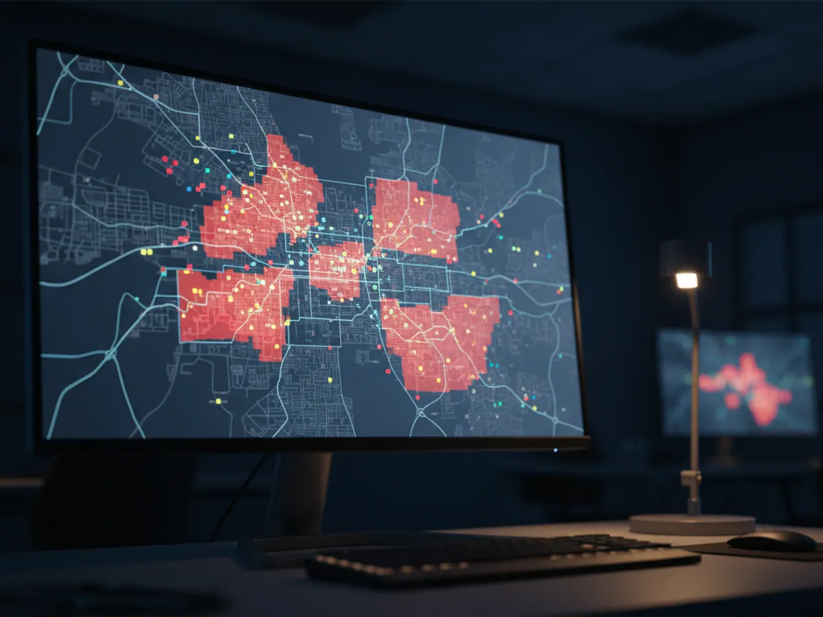
All the vehicles on the map with a filter by type: with a pump, aerial platform, excavator, gas emergency crew. The dispatcher sees the status of each — moving, on site, at the depot, engine off.
- A notification if a vehicle leaves the district it is responsible for
- Arrival at the address of a call recorded by geofence
- The history of every visit to a particular address
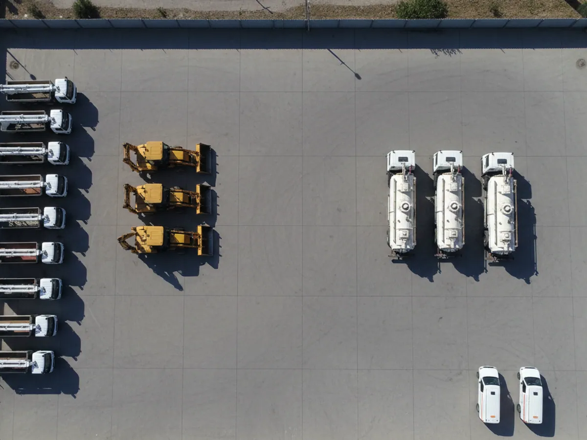
Your network as a layer on the monitoring map
If the undertaking has network drawings in a GIS — pipes, cables, chambers, substations, gas pressure regulating stations — they can be loaded into Wialon as a map layer or as a set of geofences. The dispatcher then sees on the map the particular chamber or transformer kiosk the vehicle is standing at.
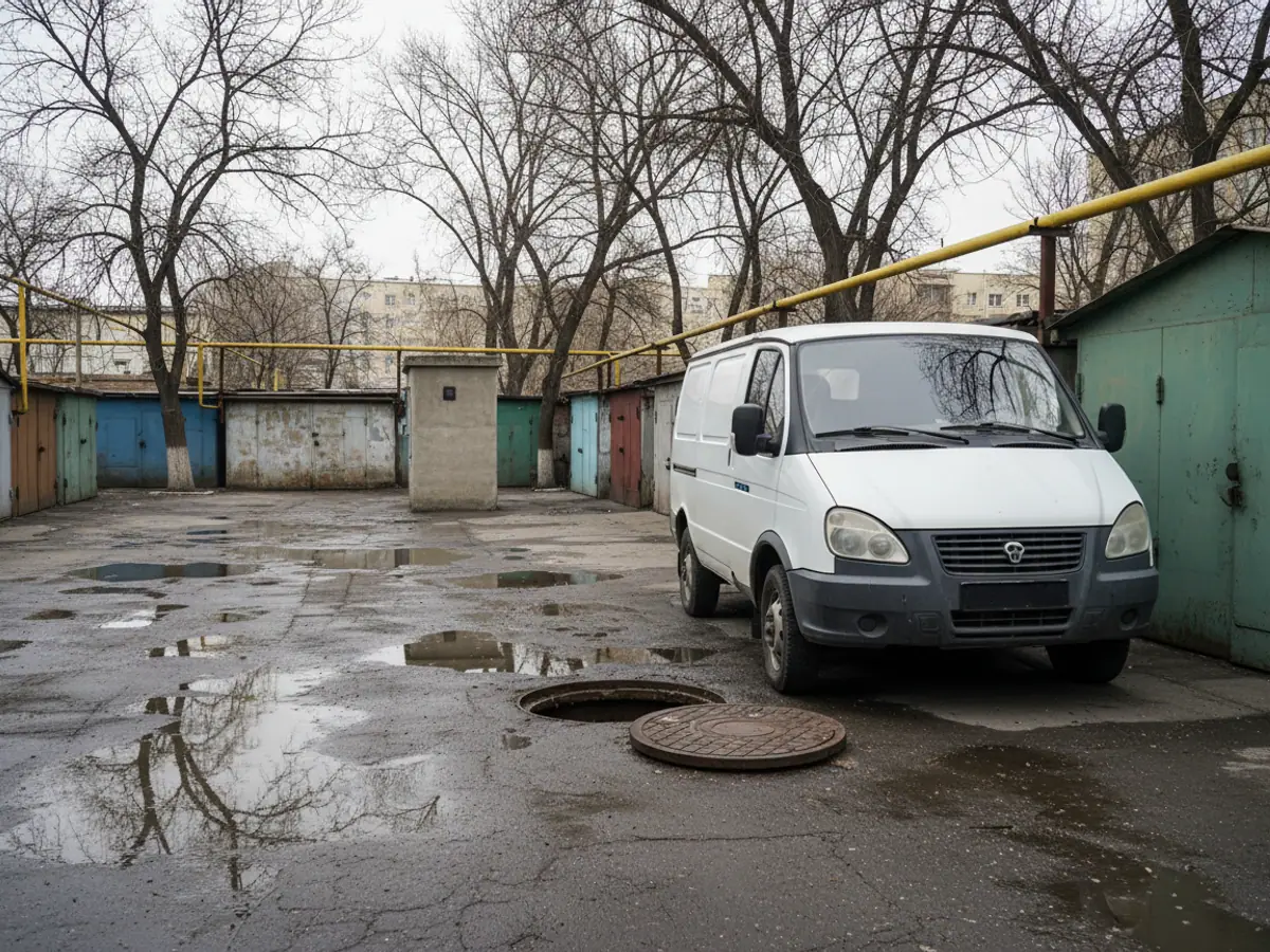
The practical benefit shows in two places. A new driver does not have to have that chamber behind the garages explained to him — it is on the map. And routine inspections can be checked automatically: if an inspector did not go near an object on the list, that shows in the report.
If you already have your own GIS or control room software, vehicle data can be passed into it through the platform API — there is no need to duplicate the maps.
A pilot on one district: which vehicles to take and what to reconcile
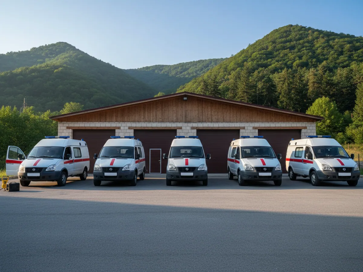
For a pilot it is better to take not the newest vehicles but the ones that raise the most questions. Usually that means one district unit and 5-10 machines: a couple of emergency vans, a vacuum tanker, an excavator and a mobile generator. That way a month shows how the various sensors behave, not just the trackers.
What we need from the undertaking:
- a list of the unit's vehicles with the type of plant on each;
- the addresses of depots, substations, pumping stations and typical sites for the geofences;
- the job ticket log and the waybills for the pilot month;
- the fuel allowances for vehicles and plant that are in force at present;
- the district foreman and a dispatcher who will read the reports and deal with the alerts.
Acceptance criteria are agreed before fitting. For example: arrival times in the system match the job ticket log, plant operation is visible for every visit, and journeys made without a ticket have been gone through with the foreman. After that we decide which units and which types of plant to connect next.
What we fit to different kinds of plant
Emergency vehicles and crew vans
A Teltonika tracker with a backup battery, a status button for the foreman and, where needed, a video recorder. Fitting takes 1-2 hours.
Vacuum tankers and water bowsers
A tracker, a pump operation sensor and a fuel level sensor. On request, a level sensor in the tank to record the volume pumped out.
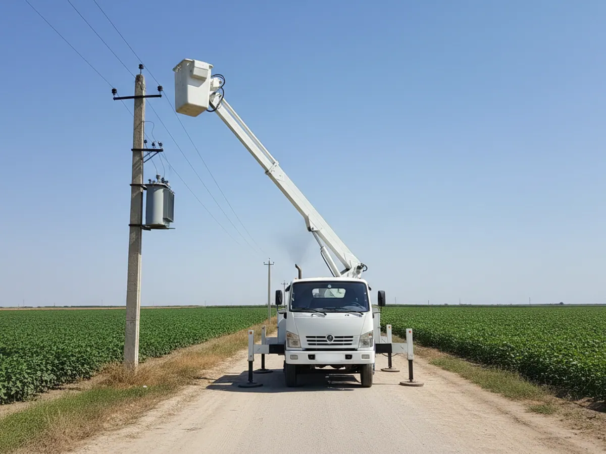
Aerial platforms and lorry loader cranes
A tracker and a sensor for the boom or basket being raised. Deployment of the outriggers before work can be monitored separately.
Excavators and heavy plant
A tracker in a protective housing, a hydraulics operation sensor and a fuel sensor. Machines that spend several days in the districts away from the depot need some margin on the power supply.
Generators and portable pumps
Either a battery-powered tracker or one powered from the unit, plus a fuel level sensor. Fitting is covered on the page about installing engine operation sensors.
Inspectors on foot
A personal tracker with an SOS button, or a mobile app on a phone. The app is cheaper, the tracker more dependable where coverage is poor.
Mistakes made when starting monitoring in utility services
A tracker with no plant sensors
You can see that the vehicle stood at the site, but not whether it worked. An argument about padded records stays an argument.
One account for everybody
District foremen need their own vehicles, the chief engineer needs the whole fleet, management needs summaries. We set up the roles from the outset.
Nobody is responsible for alerts
Notifications about fuel drains go to a mailbox that is opened once a week. You need a named person and a channel they actually use.
Starting across the whole fleet at once
It is better to begin with one district or one type of plant and scale up a month later, once you know which reports work.
How to judge the payback before deployment
We do not quote a universal percentage saving, but we do suggest working out three things from your own data.
Fuel for plant. Take the monthly consumption of the vacuum tankers, excavators and generators. In our deployments, once level sensors and plant monitoring are in place, consumption per unit of work usually falls by 15-25%.
Journeys with no job ticket. The first month of data usually turns up trips that appear on no ticket at all. Their number and their mileage are a direct loss of fuel and engine life.
Time to put faults right. Here the effect is not in the undertaking's money but in the hours residents spend without water, gas or electricity. That is the figure management and the district executive authority ask about most often.
The exact cost of fitting out we shall calculate once we have looked at several types of vehicle.
Questions from water, electricity and gas undertakings
What is used in this sector
What we do end to end
Wialon modules for this sector
How it is used in this industry
Case studies from “Utilities & Emergency Services”
Thinking of rolling out GPS monitoring in “Power, gas and water supply”?
Send us an enquiry and we will price it up for your fleet and pick the hardware for this sector: utilities & emergency services.
- 1 We pin down the task
A specialist calls back and asks about the vehicles, how many there are and what you need to keep an eye on.
- 2 We put a solution together
We propose the hardware and the features, and set out the one-off and the monthly cost separately.
- 3 We agree the fitting
At your yard or at ours, on a schedule that keeps the vehicles working.
Request a call
A specialist will call back and match a solution to your fleet and your task.