
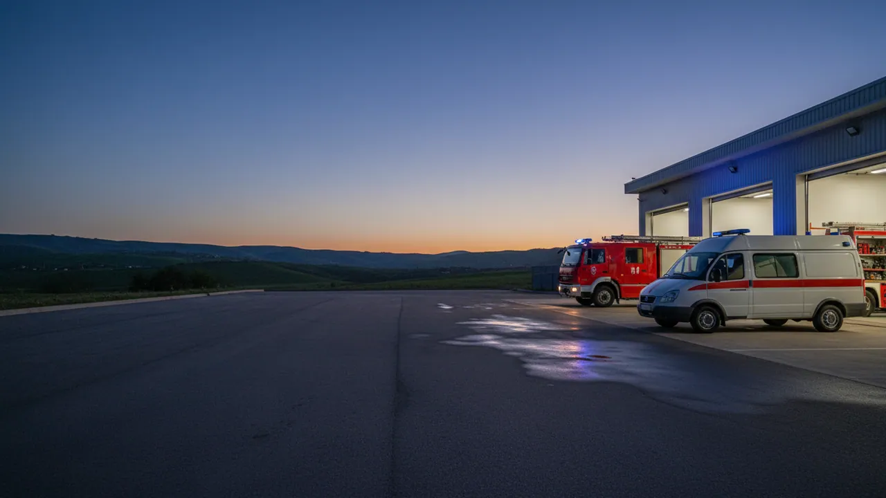
Dispatch management for emergency response services (102, 103, 112)
Professional fleet management systems for the ambulance service, the police, the Ministry of Emergency Situations and utility emergency crews in Azerbaijan — from Baku and Sumgait to the regional centres of Ganja, Sheki, Lankaran and Nakhchivan.
The dispatcher sees the free crews on the map and how far each is from the address, the system suggests the nearest suitable one, and every use of the siren and beacons is written into the track. How much the response time will fall depends on the service's own procedures, the number of crews and the roads, so we measure the effect on a pilot rather than promise it in advance.
When seconds decide everything
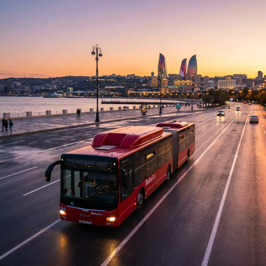
For the emergency services, monitoring is not a question of saving fuel or of bonuses for drivers, but a question of saving lives. In a heart attack, a stroke or a serious road accident, the golden hour of medical care starts counting from the moment the call is made to 103. Every minute an ambulance is delayed cuts the patient's chance of surviving a cardiac arrest by 7-10%.
Monitoring gives the dispatcher of an emergency service a map on which it takes a few seconds to see which vehicles are closest to the incident, whether they are free and what type they are: intensive care, a standard crew, paediatric. Doing the same by calling round on the radio at a busy hour takes minutes.
This works on two conditions. The crews change their status on the tablet or with a button in good time, and the vehicle has mobile coverage. Coordinates arrive at the interval set in the tracker — on the move, usually every few seconds. If a crew has forgotten to change status, or is standing in an area with no network, the map will show stale data. So the system suggests, and the decision on assignment stays with the dispatcher.
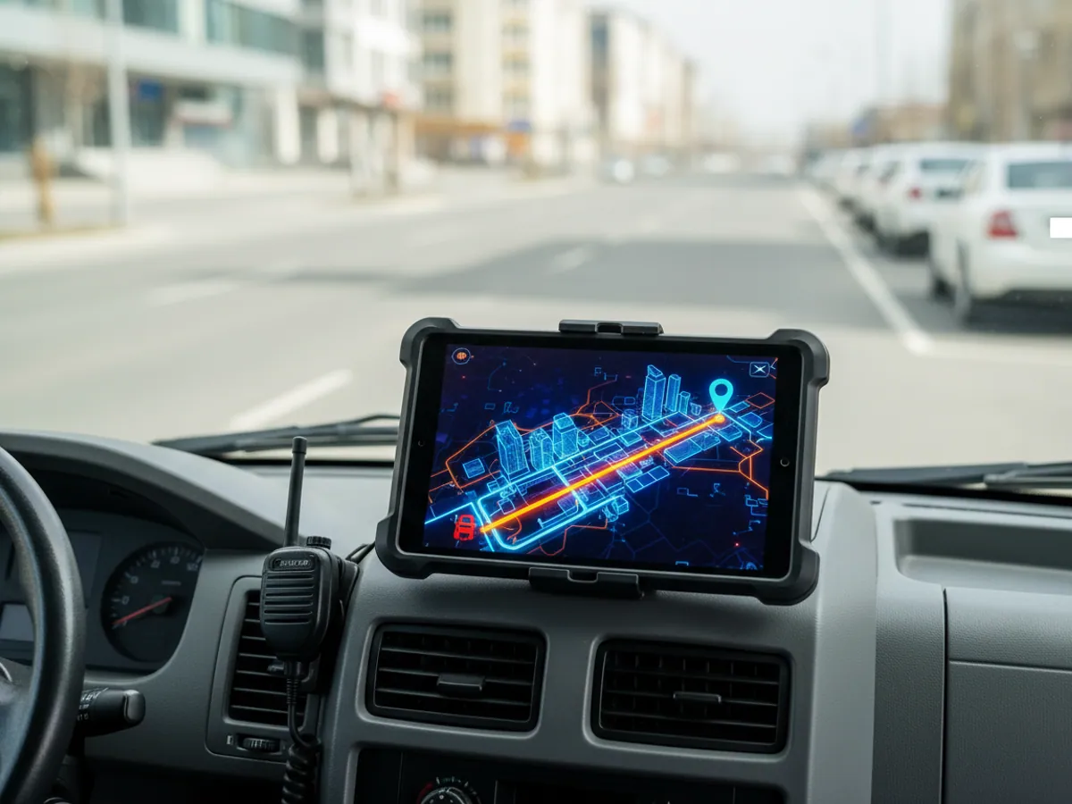
The route to the address can be built with traffic in mind, if the navigation is connected to a mapping service that supplies traffic data. The call card — address, reason, door code — is produced by the service's own dispatch system; monitoring passes it to the crew's tablet and returns the statuses Accepted, On scene, Transporting and Completed, with times and coordinates.
How many minutes this will save your particular service, we cannot say in advance. It is more honest to measure the current response time at a pilot station and compare it with what comes out after a couple of months of working from the map.
How the nearest crew is chosen
When a call comes in to 103, 102 or 112, the system compares the last known coordinates of the crews around the address. It takes into account each vehicle's status (Free, On a call, On a break, Returning to station), the traffic situation (density, accidents, roadworks) and the crew's speciality (intensive care, cardiac, paediatric).
The operator sends a crew to the call with a single click — the card appears automatically on the tablet in the vehicle with a spoken alert for the paramedic. This helps avoid the situation where an intensive care ambulance from Sabail district is sent to a call in Yasamal while a free standard crew sits at a station two streets from the address — a classic problem of manual dispatching.
Choosing a crew from the map is usually faster than calling round on the radio, but by how much only your own data will show. The call — assignment — departure — arrival report for every call is precisely what shows where the minutes are lost: in taking the call, in assigning it, or on the road.
Problems in managing emergency vehicles
Without automated dispatching the emergency services work less effectively, and complaints from the public through the presidential feedback portals mount up. Three key problems the system addresses:
Slow arrival
Assigning calls by eye and calling round the crews on the radio add minutes to the response time. In a cardiac arrest that is critical: every minute of delay reduces the patient's chances.
Improper use
Using service ambulances or emergency repair vehicles for private purposes (moonlighting as a taxi, carrying relatives, trips to the shops). That means wear, fuel, and a vehicle that is not where it should be when a call comes.
No evidence
Arguments about when the crew really arrived: we waited 40 minutes, they say it was 10. Without objective data, dealing with a complaint drags on and comes down to one word against another.
The dispatcher's procedure: alert, priority, escalation
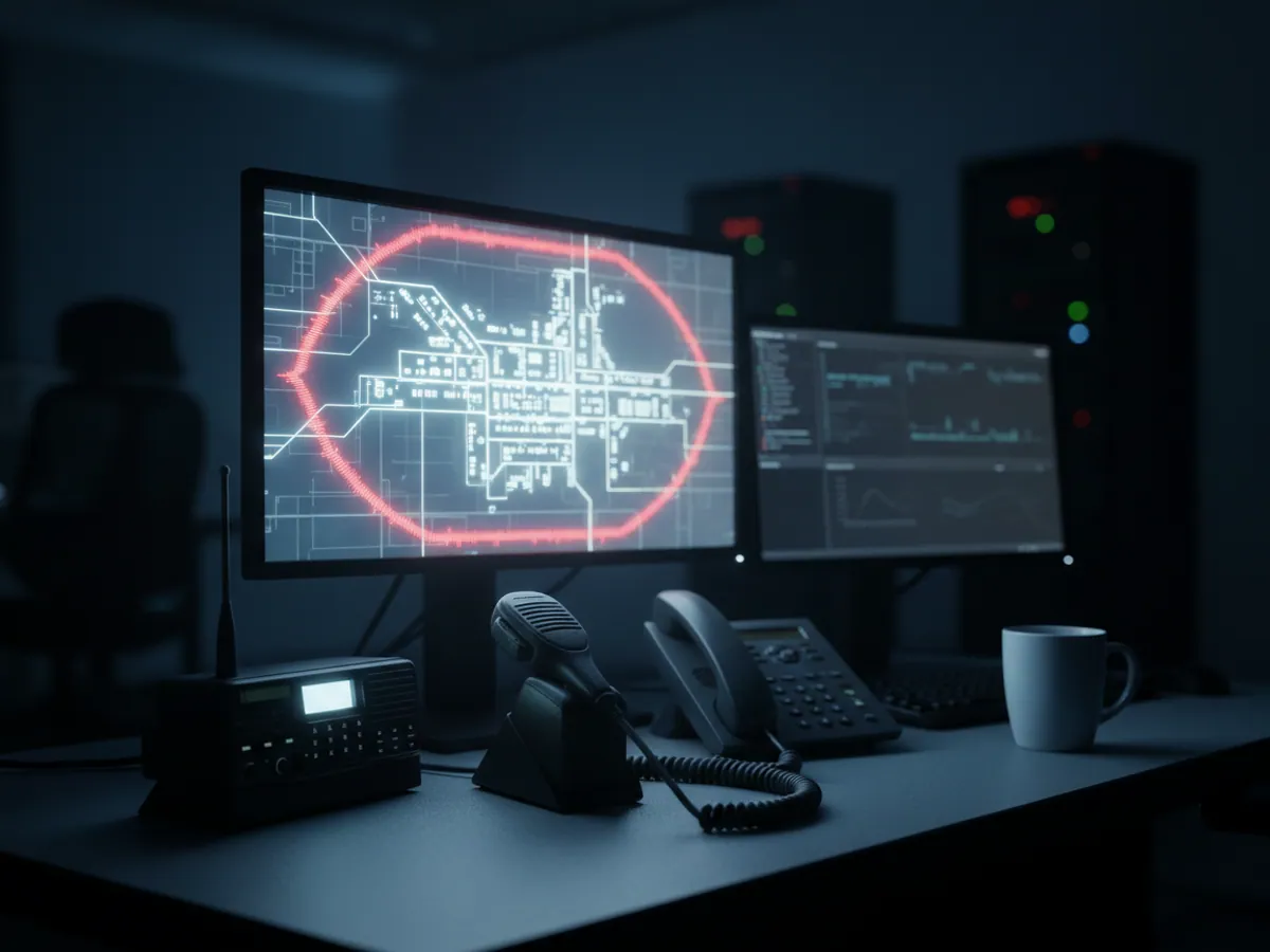
A map with vehicles on it decides nothing until it is written down who does what at each event. We help the service set this out in a short procedure and configure the notifications to match.
- Priority. Not all alerts are equal. A crew's panic button, an accident involving an emergency vehicle and loss of contact with a vehicle on a call come first. Speeding without emergency signals, or long idling, go into the shift summary.
- Acknowledgement. A first-level alert requires a response from the dispatcher in the system. Until somebody accepts it, it stays on the screen and repeats.
- Escalation. If there is no reaction within the agreed time, the notification goes to the senior dispatcher or the shift supervisor. The service decides the timing and the chain.
- Backup communications. The mobile network is the main channel, but not the only one. The radio remains a working reserve, a multi-operator SIM reduces the number of dead zones, and for remote districts we discuss a satellite channel as a separate project.
The limits of the system matter here. Monitoring does not take calls, does not triage them by severity and does not send a crew by itself. Those decisions stay with the dispatcher and with the service's own call-taking system. Monitoring supplies them with vehicle positions, statuses and an event log.
A pilot at one station: what it takes and when it is signed off
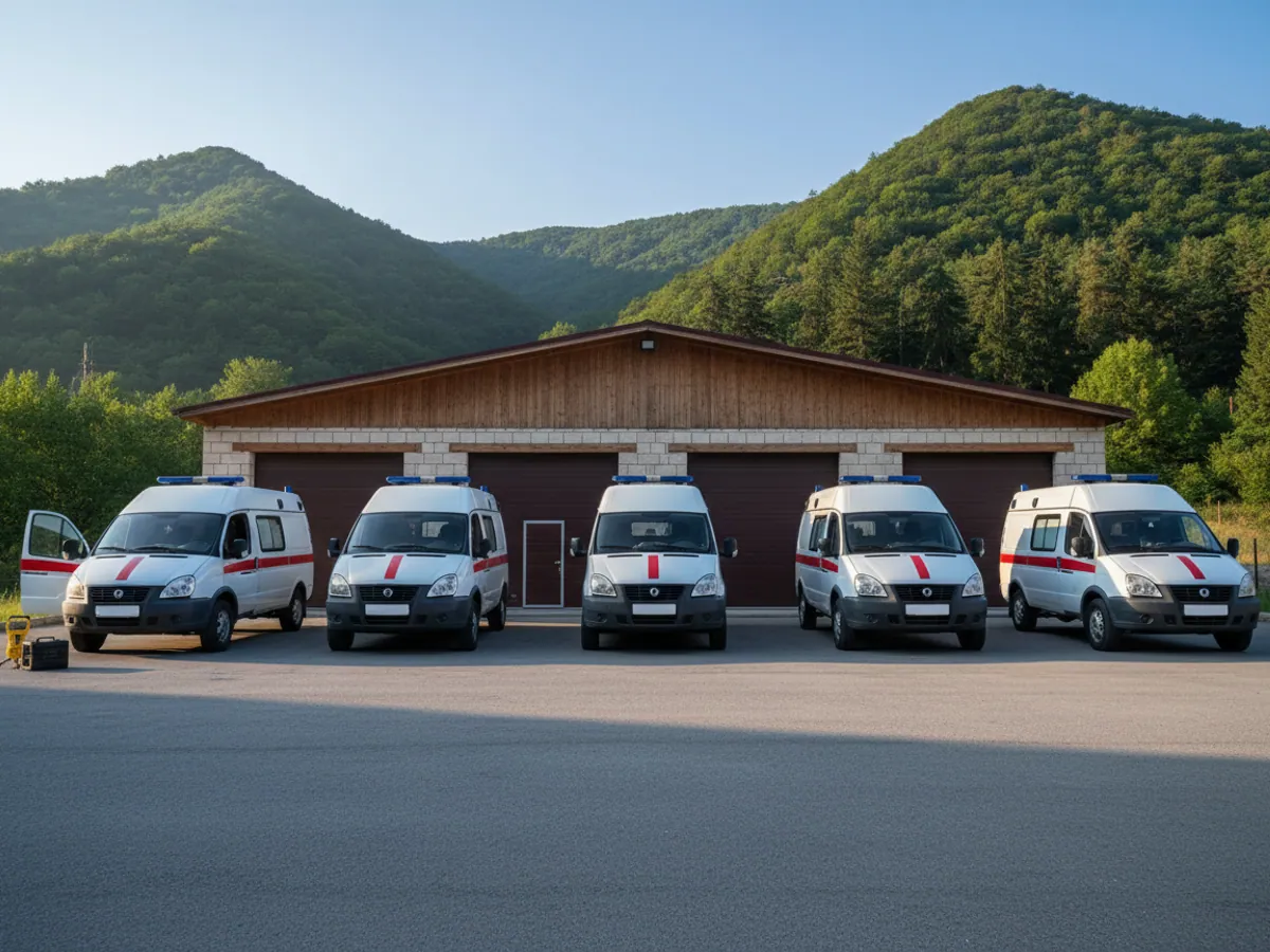
There is no sense in connecting an emergency service all at once. We suggest a pilot at one station or one unit — usually 10-20 vehicles and a single dispatch shift.
What we need from the service:
- a list of vehicles with their type and the station they belong to;
- the addresses of stations and hospitals for the geofences;
- the current arrangements for crew statuses and alerts, even if they exist only on paper;
- a responsible person on the dispatch side, and the garage manager so that fitting can be done in free slots;
- the call log for the pilot period, to reconcile against.
At the end of the pilot we produce a call report: call number, time of assignment, of departure and of arrival, crew, use of emergency signals, and a record of alerts and the responses to them. Acceptance criteria are agreed in advance — for example, that statuses in the system match the log, and that every first-level alert was acknowledged within the agreed time.
Functions for the 101/102/103 services
The dispatcher's console
Colour-coded statuses for every crew on a map of Baku, updated as data comes in from the trackers: green for Free, amber for Call accepted, red for On a call, blue for Transporting to hospital, grey for On a break.
The main capabilities:
- Filtering by vehicle type (intensive care, standard, paediatric, cardiac)
- Display of the areas each ambulance station covers
- Automatic alerts when the response time exceeds 10 minutes
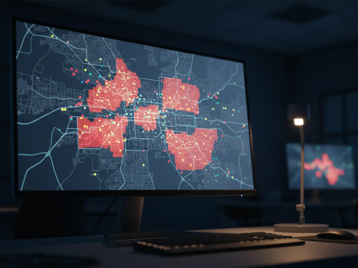
- A heat map of call density by district
In a large fleet it helps to group crews by station and district, so that the senior dispatcher sees the whole picture while a district dispatcher sees only his own.
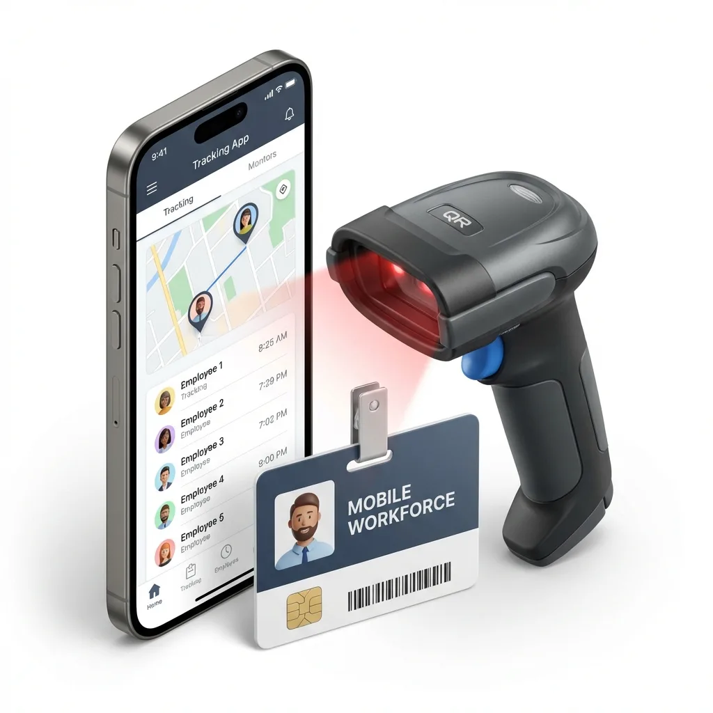
The driver's tablet and navigation that allows for traffic
We equip every emergency vehicle with a rugged industrial tablet on a dashboard mount; the model is chosen to suit the budget and the conditions. The driver and the paramedic receive the call address and whatever details the service's own dispatch system passes on: the reason, the door code, the floor, the caller's telephone number.
The statuses Call accepted, En route, On scene, Transporting, At hospital and Completed are sent with one press on the tablet, freeing the radio for the genuinely important exchanges with the dispatcher and the senior doctor on shift.
Every status is logged automatically with an exact time stamp and coordinates — so when a member of the public asks what time the ambulance arrived, the service can give an exact answer with a route map within 5 minutes.
What changes after deployment
Response times under control
The time of assignment and of arrival is visible for every call. Where the minutes go — on assignment or on the road — becomes clear, and that can be worked on. The effect in minutes is measured on the pilot.
Coordination of resources
Managing resources during a major incident: a fire in a shopping centre, a road accident with several casualties, flooding in the regions. A single map for every service involved.
Reporting
Performance reports for the management of the service: average response time, coverage by district, crew workload by hour. The format for reporting upwards is configured to your own template.
Evidence for handling complaints
Objective data when dealing with complaints from the public, including those made through the prosecutor's office. Every action by a crew is documented to the second and to the coordinate.
Frequently asked questions
What is used in this sector
What we do end to end
Wialon modules for this sector
How it is used in this industry
Case studies from “Utilities & Emergency Services”
Thinking of rolling out GPS monitoring in “Emergency services”?
Send us an enquiry and we will price it up for your fleet and pick the hardware for this sector: utilities & emergency services.
- 1 We pin down the task
A specialist calls back and asks about the vehicles, how many there are and what you need to keep an eye on.
- 2 We put a solution together
We propose the hardware and the features, and set out the one-off and the monthly cost separately.
- 3 We agree the fitting
At your yard or at ours, on a schedule that keeps the vehicles working.
Request a call
A specialist will call back and match a solution to your fleet and your task.