
GPS control of logistics and delivery
GPS control of logistics and delivery for companies running their own fleet: routes built around time windows, plan against actual for every run, proof of delivery and a tracking link for the customer. Less empty mileage, fewer late arrivals and fewer calls asking where the van is.
- 09:05 10-DL-205 closed point 3, photo and signature
- 10:20 10-DL-318 is 25 min late for its window
- 10:48 90-DL-044 has left the route
- 11:02 The customer opened the tracking link
From the data on board to the dispatcher's decision
A route with windows
Orders arrive from CRM or Excel, and the route is built around the delivery time windows.
Mobile application
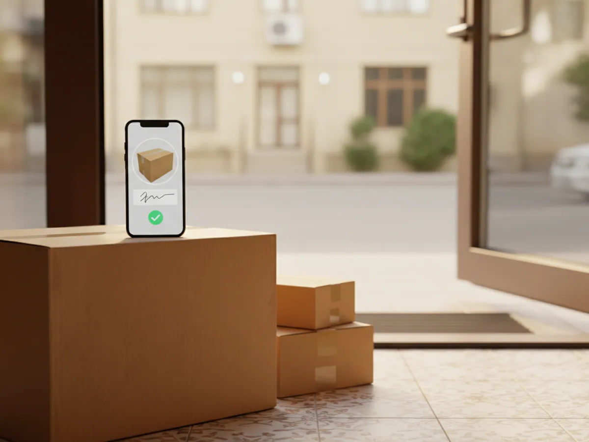
A list of points, navigation and a delivery mark with photo and customer signature.
Plan against actual
Wialon compares the arrival with the window, and the planned route with the actual track.
Tracking link
The recipient sees the vehicle on the map and does not ring the dispatcher.
Features and tools
Planning
Execution
A single run across Baku and Absheron
An illustrative delivery van, 12 drop points. This is how the run looks in the plan against actual report.
- Departure from the warehouse in Khirdalan on plan
The 12-point route was built the evening before, and the driver can see it in the app.
- Point 4 in the Yasamal district in the window
Delivery closed with photo and signature. The order status in CRM updated on its own.
- Traffic jam on Babek Avenue risk of running late
The dispatcher sees the risk in advance and warns the customer before the window closes.
- A detour off the route to Masazir +11 km
There is no drop point there. The deviation lands in the report, and the driver will have something to explain.
- Return to the warehouse 11 of 12
One point was rescheduled: nobody was there to take the goods. The reason and a photo are stored in the app.
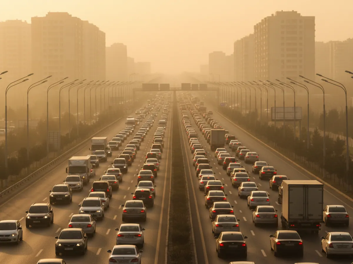
Where delivery time actually goes
In short: GPS control of logistics is there so you can see how every order was carried out — whether the vehicle left on time, whether it made the customer's window, how long it stood at the point and what the delivery is confirmed by. For that you need a tracker in the vehicle, a list of orders with addresses and windows and, if photo and signature are required, a smartphone in the driver's hands. Without customers pinned to points on the map, the plan against actual picture will not be accurate.
When we first sit down with a distributor or an online shop, the manager usually says the same thing: the drivers are late. The first two weeks of data almost always show something more complicated.
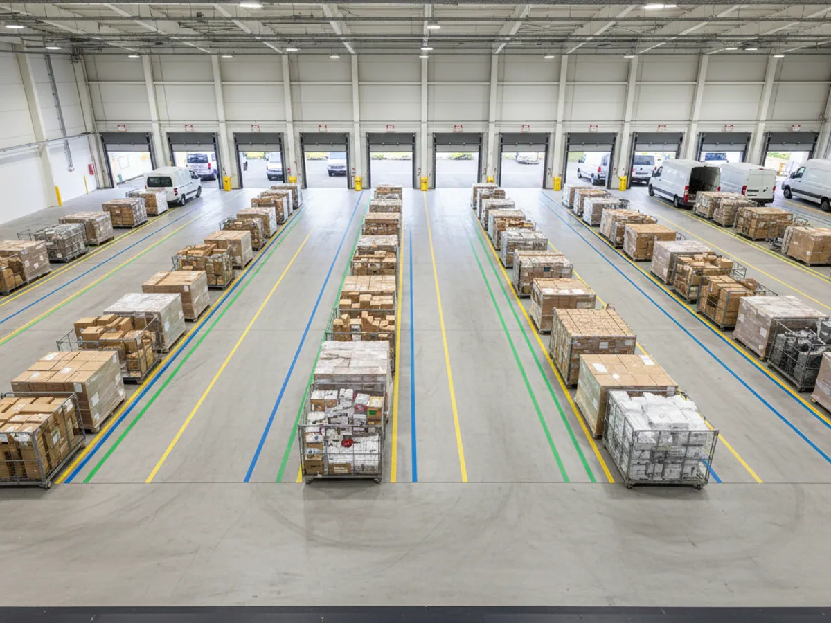
- The vehicle leaves the warehouse 40–60 minutes behind plan, because loading dragged on.
- The route was put together from the dispatcher's memory: the driver crosses the city twice, from Yasamal to Khatai and back again.
- At customer sites the stop runs twice as long as the standard — there is nowhere to unload, and the goods are accepted slowly.
- An hour disappears in the morning queue at the entrance to Baku from the Sumgait side, an hour nobody allowed for in the plan.
Each of these has its own cure. GPS control of logistics is needed first of all so you can work out which one is yours and stop arguing with the drivers on feelings alone.
An order from the plan to the customer's signature
A route built around time windows
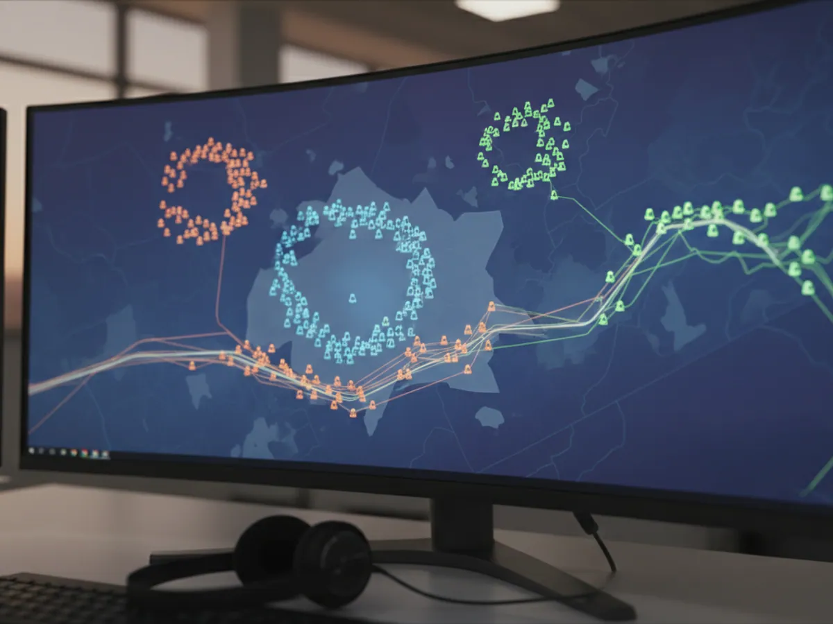
Orders are loaded from the accounting system or from an Excel file: address, delivery window, weight or volume. The system spreads them across the vehicles with their payload in mind and works out the order in which the points are visited.
The dispatcher can correct the route by hand — putting a major customer first, for instance. Route building is covered in detail on the route planning page.
How it works on the technical side
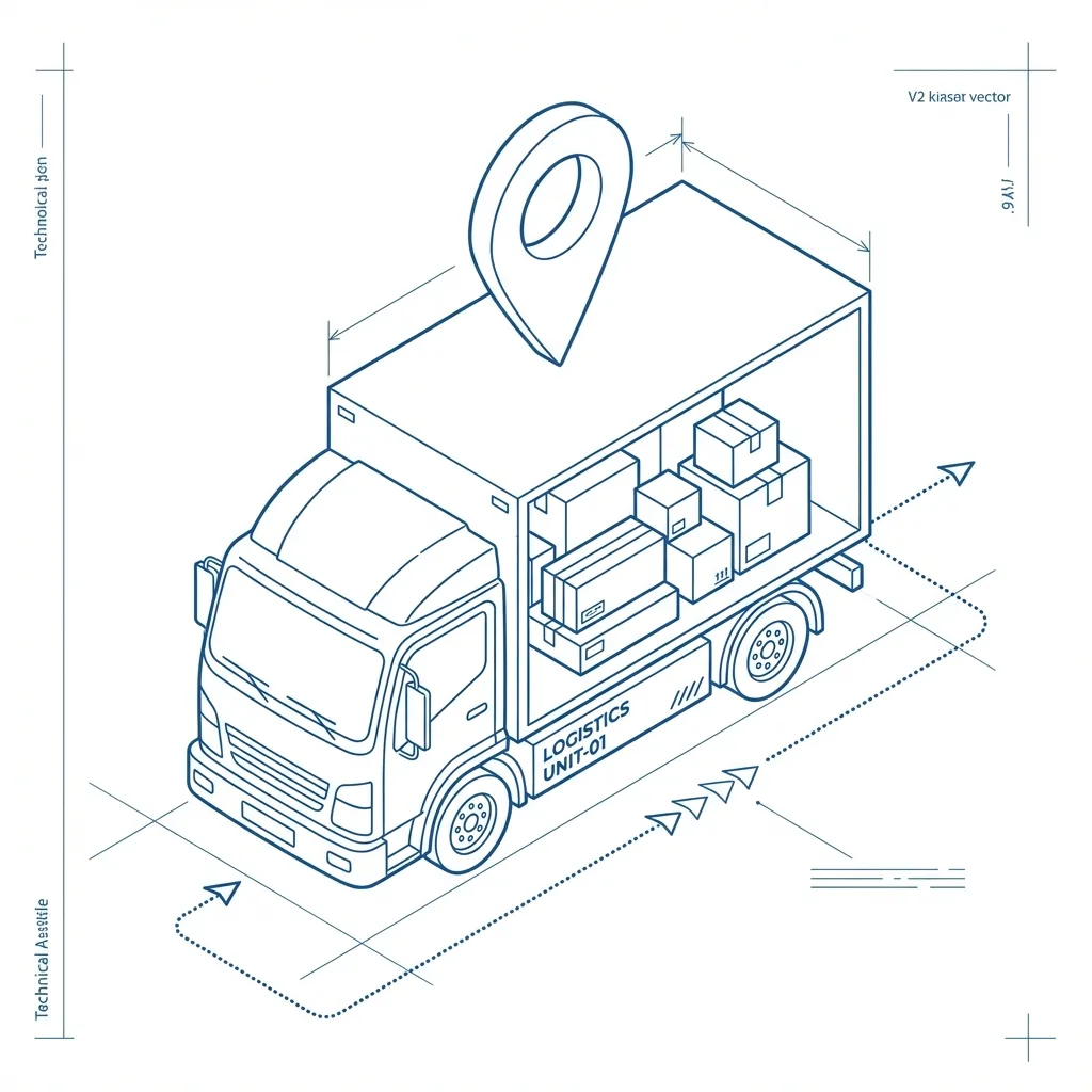
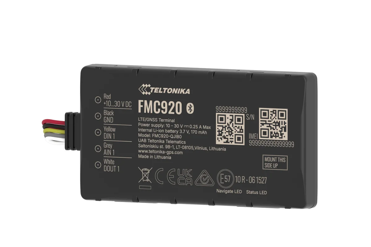
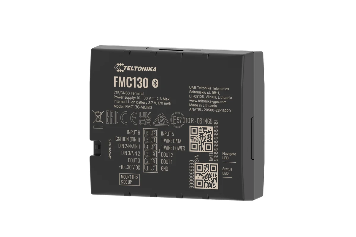
Teltonika or Queclink GPS trackers go on the vehicles, and Wialon receives coordinates, speed and events in real time. Refrigerated units get temperature sensors as well; where load matters, axle load sensors are added.
Routes and orders live in the logistics module: they arrive there from your accounting system or are uploaded by hand. Drivers get their jobs in the phone application, and the dispatcher sees everything on a single map.
The same arrangement works for city delivery around Baku and Sumgait, for a regional run from Baku to Sheki and Zagatala, and for an international haul along the M-2 into Georgia. Only the scale and the frequency of the control points change.
An example: the daily run into the regions
A dairy producer sends two vehicles a day out of Baku: one on the Shamakhi — Ismayilli — Gabala route, the other through Yevlakh to Ganja. Each carries 12–18 shops and a refrigerated unit holding the goods at +2 to +6 °C.
Before monitoring, management knew only the time of departure and the time of return. Once the trackers and temperature sensors were fitted, it became clear that one vehicle spends almost an hour at a roadside lunch stop with the doors open, while the other reaches the last shops in Ganja after goods-in has closed.
The answers turned out to be simple ones. The order of the points in Ganja was changed, the goods-in windows were agreed again, and a notification was set up for doors opening outside the shop geofences. Temperature control on the road is covered on the cold chain control page, and weight and underloading in the load control section.
What projects like this save depends on how bad things were beforehand. But the first months almost always produce a list of the specific places where a run loses time.
Capabilities and metrics
Which delivery figures the system counts on its own, and where they come in useful.
Route optimisation
Less mileage and less time on the road, through a sensible order of visits and a sensible split of orders between vehicles.
On-time delivery
The share of orders delivered inside the window, by driver and by route. A warning about a delay before the window closes.
Time at the point
How long the vehicle really stands at each customer. It helps you find the addresses where unloading consistently drags on.
Reports by run
Mileage, time, number of points, late arrivals and deviations for each run and for a period. Export to Excel and scheduled distribution.
Addresses in Baku are a job in themselves
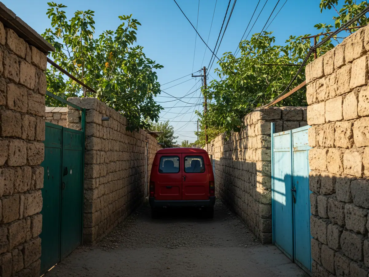
Let us be straight about the thing that trips up any route optimisation in Azerbaijan. It is the addresses.
Near Neftchilar metro, behind the shop is not something the system can put on a map. Street names have changed, and many houses in the suburbs and settlements of Absheron have no clear number. Feed a list like that to an algorithm and it will build a route the driver simply cannot follow.
So at the start we advise pinning your regular customers to points on the map, once. When the driver arrives at a customer, they mark it in the app and the coordinate is saved. Within a month a distributor who works with the same shops week in and week out has a points database that is very nearly complete.
- For regular customers — points on the map, not text addresses.
- For new ones — an address plus a landmark, checked by the dispatcher before the run.
- For the regions — separate runs that allow for time on the highway, not mixed in with city points.
How this is arranged at distributors can be seen on the FMCG distribution page.
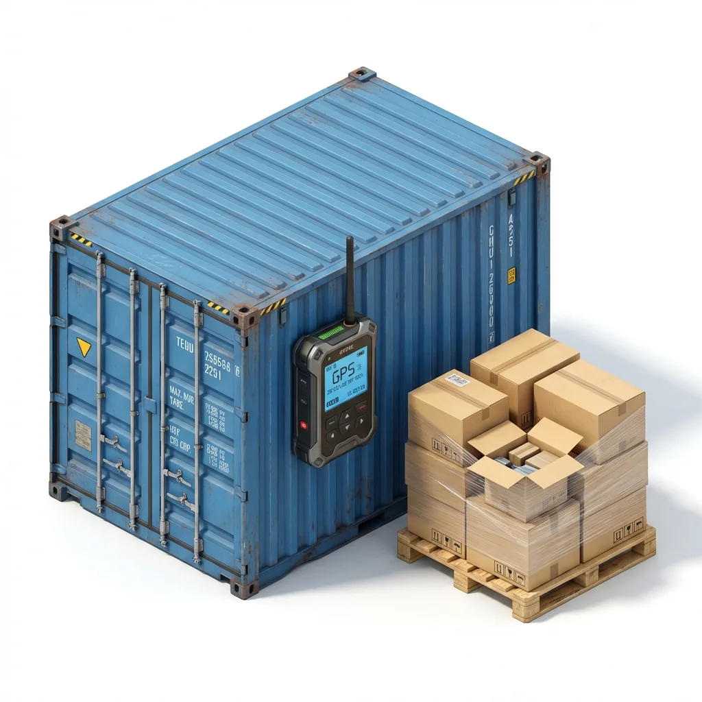
One order from import to the customer's signature
This is the path of a single order when the whole chain is set up. The times and addresses are illustrative.
- The evening before. The order arrives from 1C or an Excel file: customer, address or point on the map, a goods-in window of 10:00–12:00, weight. If the address is not recognised, the order goes onto the dispatcher's list to be checked and does not enter a route.
- Planning. The order is placed in the run of a vehicle with a suitable payload. The dispatcher checks the order of the points and publishes the route.
- Departure. The driver sees the order in the app. Leaving the warehouse geofence is recorded from the track, not from what the driver says.
- Arrival. Entering the customer's geofence marks the time of arrival. If the vehicle is not going to make the window, the dispatcher sees it in the forecast before the customer starts ringing.
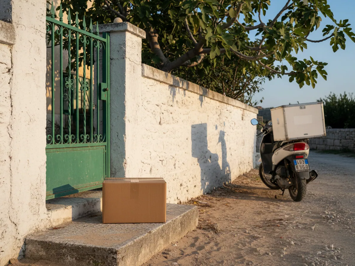
- POD. The driver sets the status, photographs the delivery note, and the customer signs on the screen. The time and the coordinate of the mark are stored together with the photo.
- Closing. The status goes back to the accounting system, if that exchange is set up, and the order lands in the plan against actual report for the run.
Returns, part deliveries and working without a signal
These situations are best talked through before you go live: they decide how honest the plan against actual report will be.
The customer did not accept the order
The driver picks the status not delivered and a reason from an agreed list: nobody there, refused, closed. A photo of the frontage or the closed door serves as proof of the visit. Returning the goods to the warehouse is then handled in the accounting system; monitoring does not do that part.
Only part was accepted
A part delivery is easier to record with a status of its own, a comment and a photo of the amended delivery note. Recalculating quantities and amounts stays with 1C or ERP: the app records the fact and the evidence, not the bookkeeping.
No mobile signal
The tracker writes points to memory and sends them once the connection returns, so the track for the run is restored. The arrival forecast and the notifications fall behind in the meantime. How the driver app behaves without a network is something we check during the pilot, on your phones and your routes, for example on the stretches towards Guba and Sheki.
What we need from you
A list of non-delivery reasons, a rule for part acceptance, someone responsible for checking addresses and a decision on who closes disputed orders. Without that the report will count deliveries but will not explain why one fell through.
What the business gets
Less mileage
A sensible order of visits and a sensible split of orders usually cut mileage and fuel consumption by 10–15% without changing the volume delivered.
More deliveries from the same vehicle
Once the delays at loading and at the points are visible, 1–3 more addresses can be fitted into a run. For city delivery that is noticeable.
Fewer calls from customers
A tracking link and a warning about a delay take away most of the where is my order questions.
Protection in a dispute
The photo, the signature, the time and the coordinate of the delivery are held in the system. Claims are settled on the facts.
Control over unauthorised trips
Deviations from the route and stops away from the drop points show up in the report. Private jobs on a company vehicle become visible.
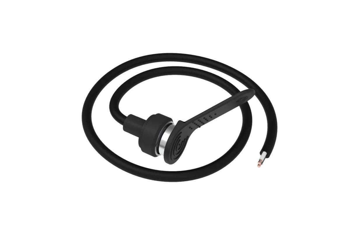
What goes on the vehicle
How a delivery gets confirmed
The way you confirm delivery decides what you can put to a customer who insists no vehicle ever came.
| Paper delivery note | A call to the dispatcher | POD in the app | |
|---|---|---|---|
| Time and coordinate | No | The driver's word for it | Yes, automatically |
| Photo and signature | A signature on paper | No | Yes, in the order card |
| The office sees it at once | No, in the evening | Partly | Yes, online |
| Evidence in a dispute | Weak | No | Yes, photo and track |
Fitting and cost
The feature becomes available once you are connected to the GPS.az platform. The cost is made up of the hardware, the fitting and a monthly subscription, which includes the SIM card traffic — the total depends on the type of vehicle and the set of sensors. We prepare an exact quote for your fleet free of charge within one working day.
- 1 Your enquiry and the list of vehicles
- 2 The quote and an agreed fitting schedule
- 3 Fitting the hardware at your own site
- 4 Setting up reports and alerts in Wialon, and training the dispatcher
Questions about “GPS control of logistics and delivery”
Request a call
A specialist will call back and match a solution to your fleet and your task.