
GPS monitoring for international haulage
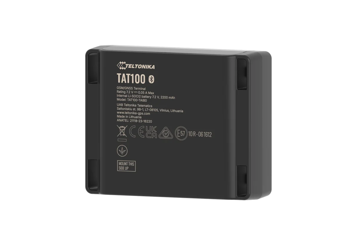
We fit tractor units, refrigerated units and trailers for runs to Georgia, Turkey, Russia, Iran and Central Asia: a tracker with a roaming M2M SIM, temperature and door sensors and, where needed, a tachograph. Where there is no network — on the ferry, in the mountains, in the neutral zone — the track is written to memory and arrives later. We check coverage country by country against your tariff before go-live.
- 11:45 Entered the Red Bridge geofence
- 16:10 Border cleared, 4 h 25 min in the queue
- 16:30 Roaming: tracker registered on a Georgian network
- 23:05 Body door opened at a parking area near Tbilisi
- 06:40 Entered the geofence of the port of Poti
Tractor units and trailers fitted out for your destinations, visible in Wialon beyond Azerbaijan, with geofences for border crossings and ports. For each destination you know in advance where there will be a live link, where data will arrive late and how the system will behave with no network. Temperature and door notifications are configured and tested before the first run.
The lorry has crossed the border, and then what
Azerbaijan sits at the crossing of two large transit axes: the Middle Corridor links China and Central Asia with Georgia, Turkey and Europe across the Caspian, while the North — South corridor runs from Russia to Iran. Azerbaijani hauliers work both, and on both the fleet owner has the same problem: while the lorry is running along the M-2 towards Gazakh it is visible, but after the Red Bridge or the ferry to Aktau the only information comes from the driver by telephone.
GPS monitoring of international haulage removes that blind spot. A tracker with a roaming SIM card sends coordinates in Georgia, Turkey, Iran, Kazakhstan and Russia, and where there is no network — in the middle of the Caspian, for instance — it writes the track to memory and hands it over once back on shore. The dispatcher in Baku sees where the vehicle is standing, how long it queued at the border, what the temperature is in the refrigerated unit and whether the body has been opened.
General questions of fuel and of running a fleet of tractor units are covered on the road freight page. This page deals with what is specific to international runs.
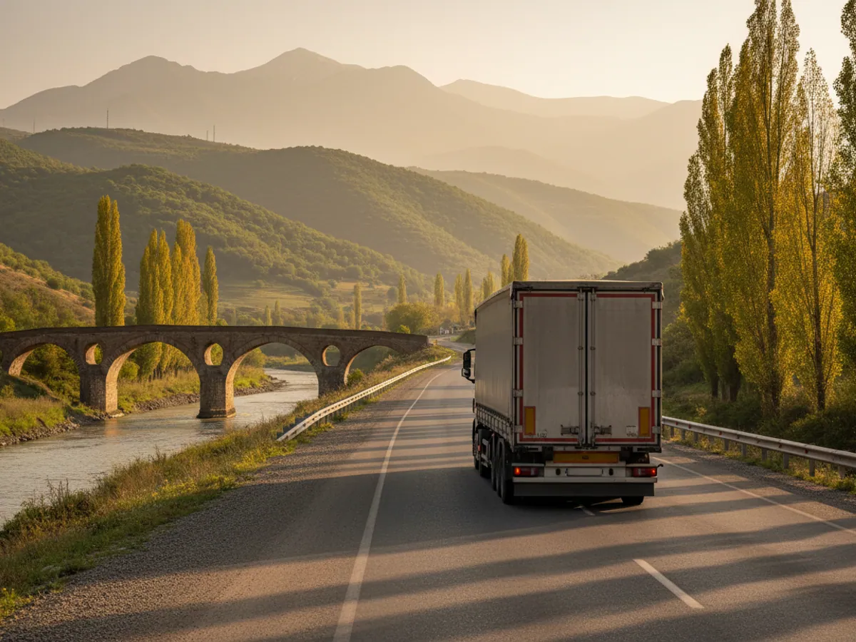
How the work goes, step by step
Destinations and loads
Transit countries, refrigerated units, curtainsiders, containers, tachographs and the company card.
A tariff to match the countries
A roaming M2M SIM. For Iran we check in advance which networks the tariff works on.
Between runs
At the yard in Baku or near the port of Alat: tracker, door and temperature sensors, fuel level sensor, tachograph.
Borders and ports
Red Bridge, Astara, Samur — Yalama, Alat: time in the queue is counted automatically.
Testing without a network
We switch transmission off and check that the track arrives once the link is back. Door and temperature are tested before the run.
A refrigerated run across the Caspian
A worked example: fruit from Guba, the Alat — Aktau ferry, then onward across Kazakhstan.
- Loading in Guba, +3 °C in the body start
The warehouse geofence marks the loading time and the door sensor records the body being closed.
- Arrival at the port of Alat, waiting for the ferry port geofence
The waiting time is counted automatically and comes in useful in conversations with the client about deadlines.
- Ferry at sea, no connectivity offline
The tracker writes the track and the temperature to memory. Notifications do not go out live during this time.
- Arrival at Aktau, the crossing data comes in backfill
The track of the crossing and the temperature graph are recovered for the whole period without a network.
- +8 °C in the body at a parking area notification
The refrigeration unit was switched off for the night. The dispatcher in Baku rings the driver straight away rather than finding out after unloading.
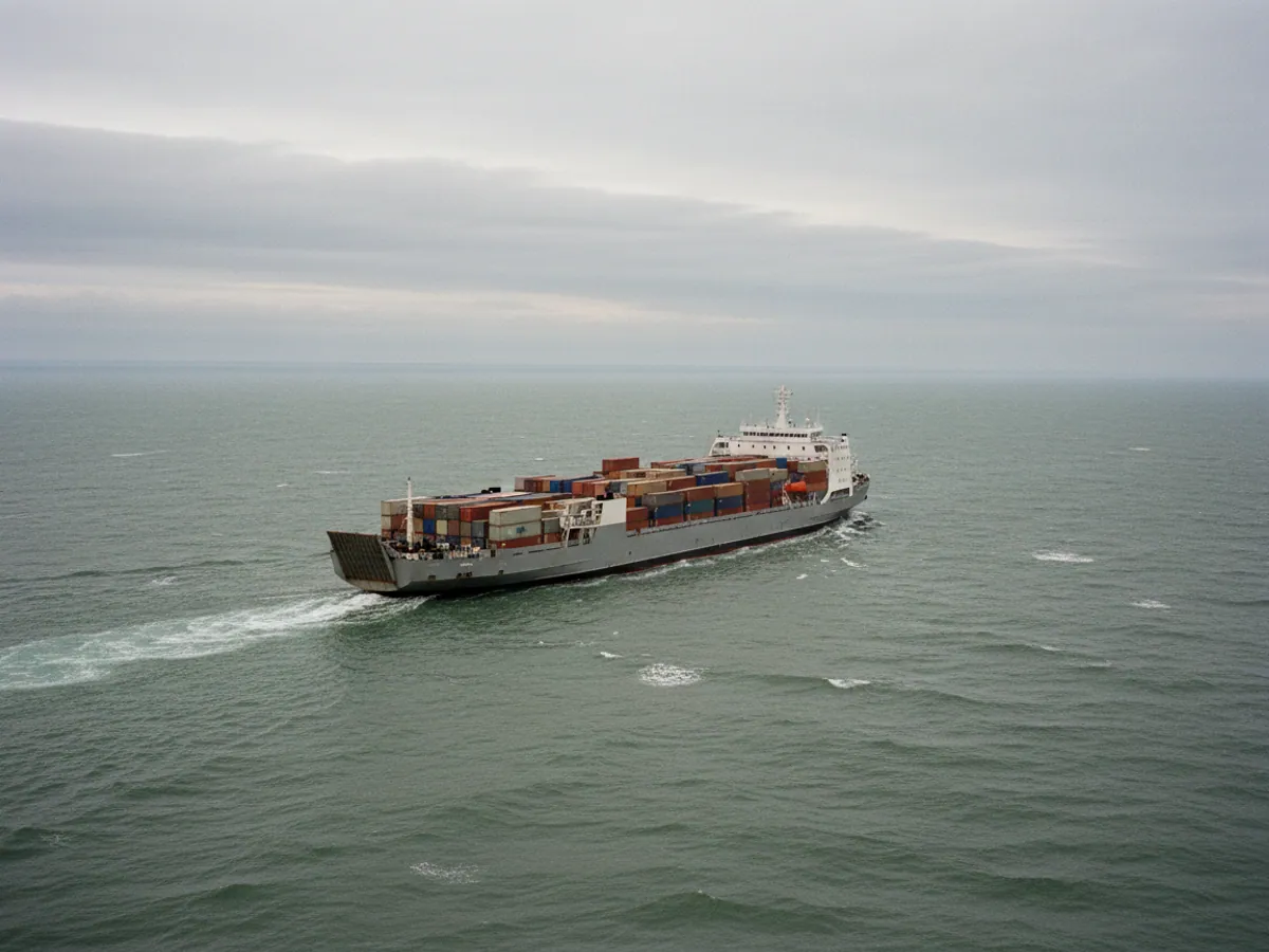
The routes on which we see our clients' vehicles
Here are the destinations Azerbaijani hauliers usually work and what matters on each of them for monitoring:
- Georgia and Turkey along the M-2. Baku — Ganja — Gazakh — the Red Bridge crossing, then Tbilisi and the port of Poti or the Turkish border at Sarpi. The busiest direction. What matters here is time at the border and waiting in queues.
- Iran along the M-3. Alat — Salyan — Lankaran — Astara. The North — South corridor and the route to Nakhchivan through Iranian territory. For monitoring, what matters is roaming in Iran, which does not work with every SIM card.
- Russia along the M-1. Baku — Guba — Khudat — the Samur — Yalama crossing, then Dagestan and on towards Rostov and Moscow. Long legs, many days on the road, and drivers' hours matter.
- Kazakhstan and Turkmenistan across the Caspian. Ferries from the port of Alat to Aktau, Kuryk and Turkmenbashi. This is part of the Middle Corridor: loads from China and Central Asia travel on to Georgia and Turkey.
Containers that arrive at Alat and travel onward by the Baku — Tbilisi — Kars railway can also be followed with battery-powered trackers. For each destination we select a connectivity tariff and set up geofences for border crossings and ports so that waiting time is counted automatically.
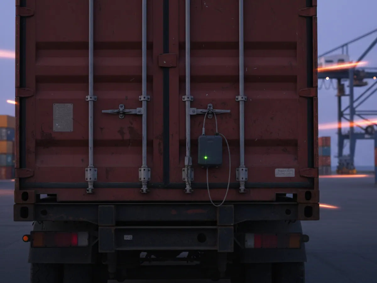
Roaming with no surprises on the bill
The main technical problem on international runs is connectivity. An ordinary local SIM card either costs a great deal in roaming or does not register on the neighbouring country's network at all.
How we deal with it:
- We fit M2M SIM cards with multi-network roaming. On entering Georgia or Turkey the tracker registers on one of the local networks by itself.
- The terms of the tariff are settled before go-live, and a tracker's traffic is small: a few megabytes a month even when it reports points frequently.
- For Iran we check in advance which networks the particular tariff works on and warn you if coverage will be incomplete.
- We configure the tracker to report less often while roaming and to switch to an economical mode during a long stop.
- If there is no network — in the mountains, on the ferry, in the neutral zone at a border — the track is written to the tracker's memory and sent later. How long a tracker will last without a network depends on the model and on how often it records; for long stretches offline we set the recording rate separately.
The upshot: the owner sees the vehicle on the map just as if it were driving around Baku, only with a delay of minutes where the network is weak.
Connectivity by destination: what we check before go-live
Georgia and Turkey
Roaming M2M SIMs usually register on the local networks without trouble. We check that the tariff permits data transmission in both countries and set up geofences for the Red Bridge, Sarpi and the port of Poti.
Russia
Long stretches with patchy coverage between cities. We check the tariff for roaming data and choose a recording rate such that the offline stretches fit into the tracker's memory.
Iran
Roaming does not work with every SIM or on every network. Before go-live we check the particular tariff and say plainly if the live link on that stretch will be partial or absent.
The Caspian and Central Asia
There is no network on the ferry; the data arrives once the vehicle is ashore at Aktau, Kuryk or Turkmenbashi. Coverage for the tariff across Kazakhstan and Turkmenistan is checked separately.
If there is no network for a long time
The tracker carries on writing the track and the sensor data to memory. Temperature and door notifications do not go out live during that time, they arrive with the batch of data. For sensitive loads this is worth allowing for in the dispatcher's procedures.
A satellite channel
This is needed where there is no mobile network for many hours at a stretch. It carries less data, costs more per megabyte and requires separate equipment. Whether it suits your routes is something we discuss separately.
What we need from you and what the work covers
Starting information
A list of tractor units and trailers with their models, the destinations you run and the transit countries, what you carry (refrigerated, curtainsider, container), and whether you have digital tachographs and a company card.
A window for fitting
The run schedule for the coming weeks, so that we can catch a vehicle between runs at the yard in Baku or at the parking area by the port of Alat. A tractor unit with sensors takes 2–4 hours.
Included
Selection of equipment and SIM to match the destinations, fitting and sealing, connection of door and temperature sensors, configuration of geofences for border crossings and ports, notifications and reports, and a briefing for the dispatcher.
Not included
Repairs to the refrigeration unit and to factory wiring, tachograph verification, and obtaining a company card. Roaming traffic is charged at the tariff we set out in the quotation.
The risks monitoring takes off a long-distance run
On an international run a vehicle is weeks away from base. Questions most often arise in four situations:
Waiting at the border
The driver says he has been queuing at the Red Bridge or at Astara for three days. The geofence of the crossing point will show when the vehicle actually arrived and how long it stood there.
Switching the refrigeration off
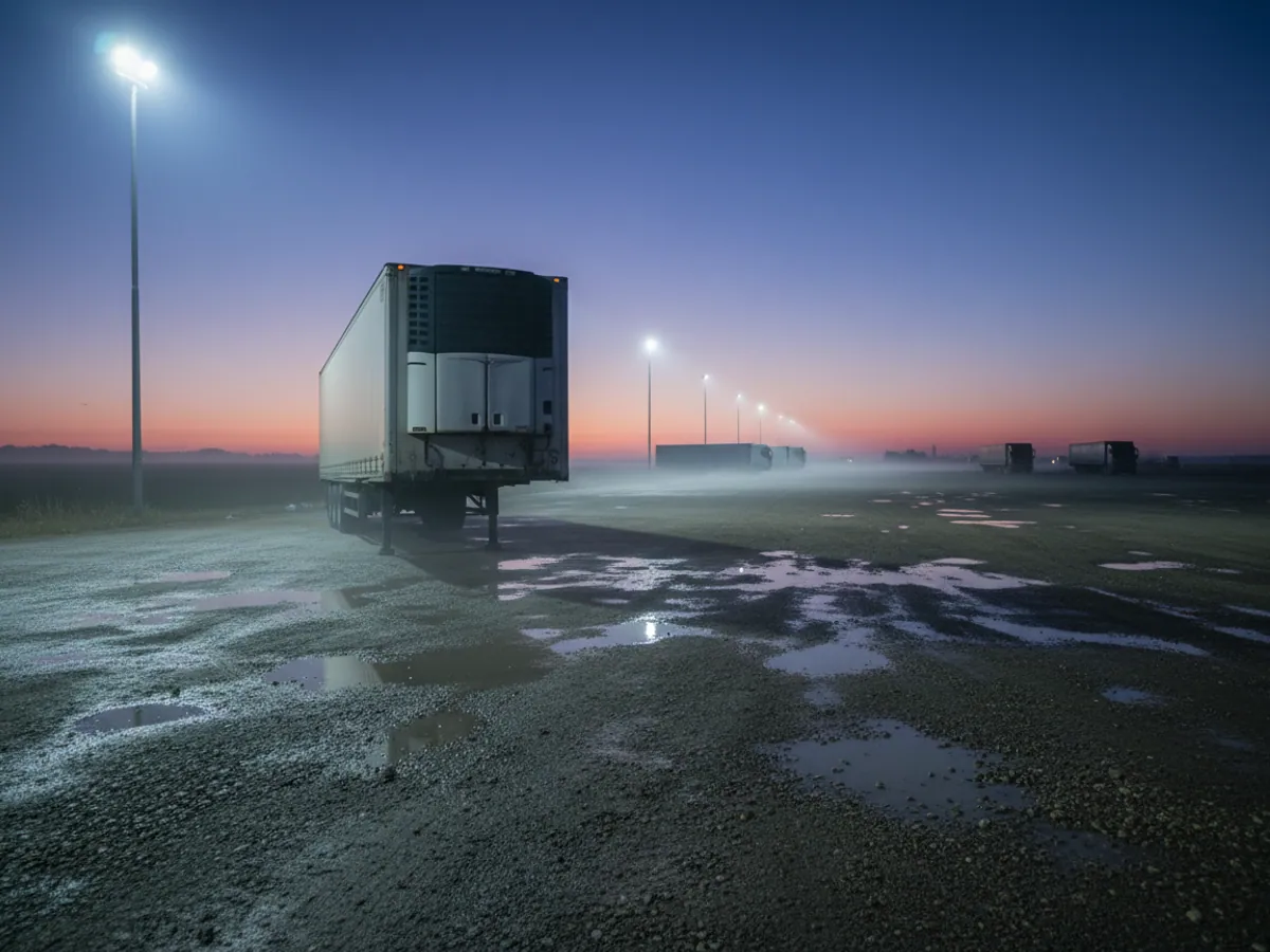
To save fuel, the refrigeration unit is switched off for the night. Fruit from Guba or herbs from Lankaran arrive in Moscow spoiled.
Opening the body
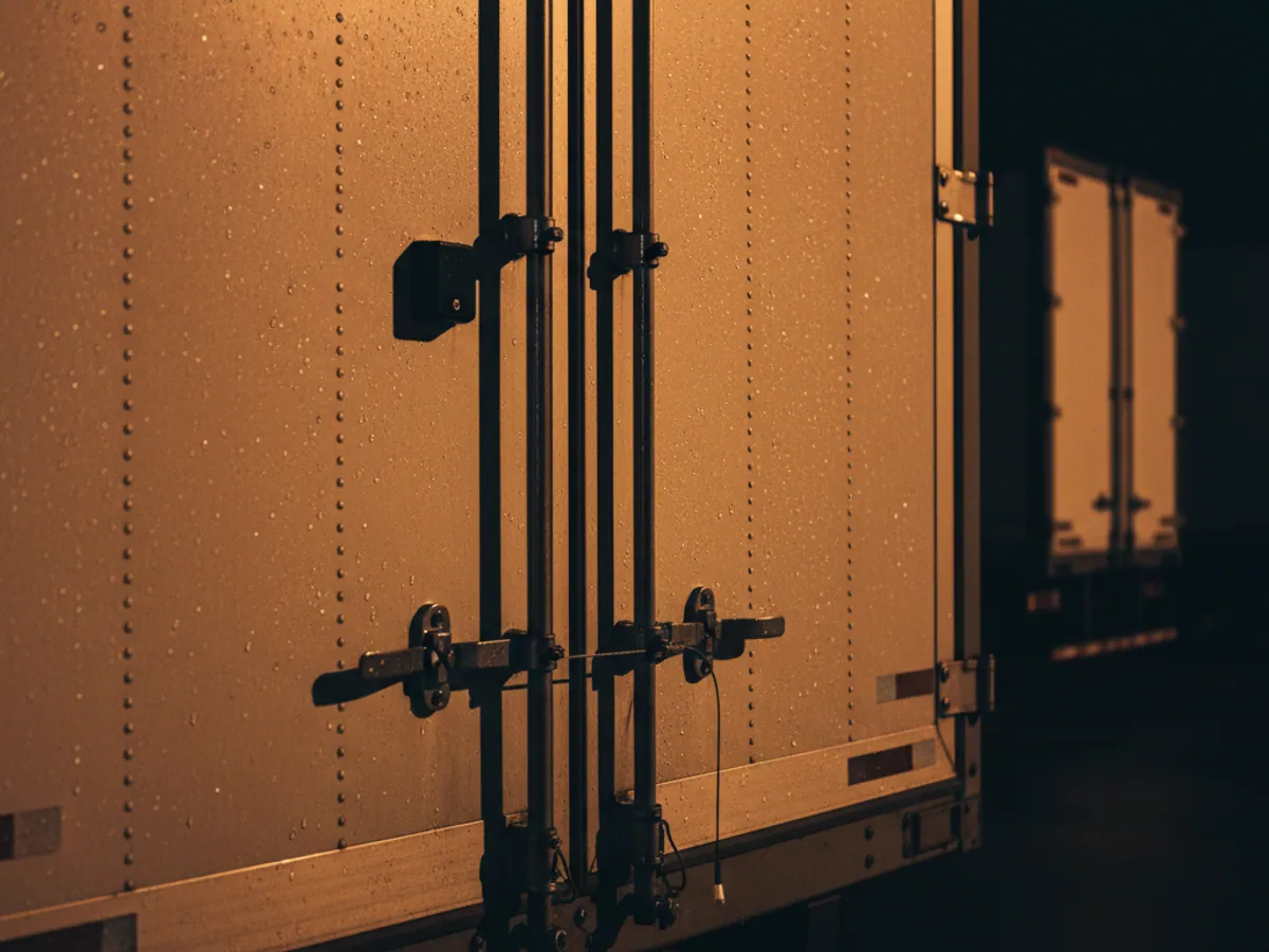
Part of a load stolen at an unguarded parking area in a transit country. The door sensor records every opening with coordinates.
Missing the unloading slot
Arriving late at a distribution centre or for a ferry. A penalty under the contract, or several more days waiting at the port.
Tools for international runs
Temperature in the body, live
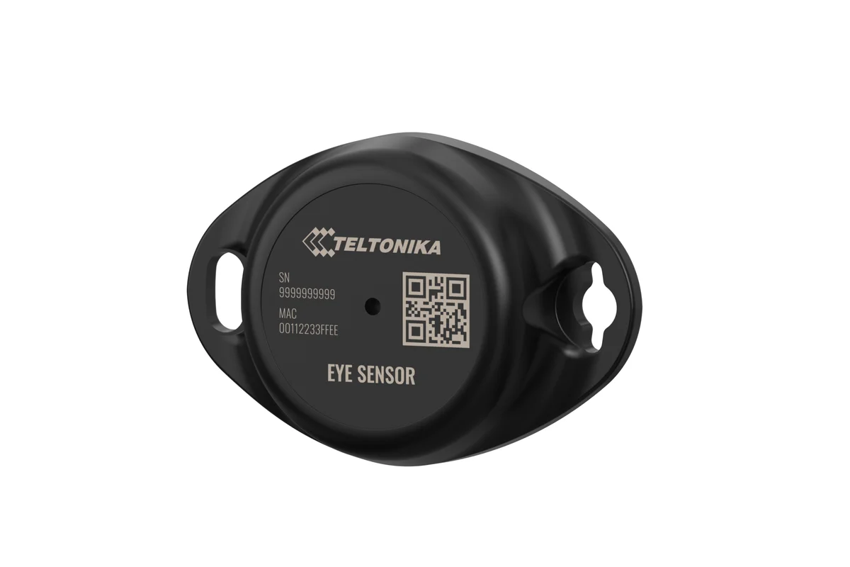
For exports of fruit, vegetables and herbs, and for pharmaceuticals. A temperature sensor in the body sends data to Wialon along with the coordinates. If the temperature rises from +2 to +8 °C, the dispatcher in Baku finds out straight away rather than after unloading.
After the run a temperature graph for the whole journey is produced, and it can be shown to the consignee. There is more in the cold chain monitoring section.

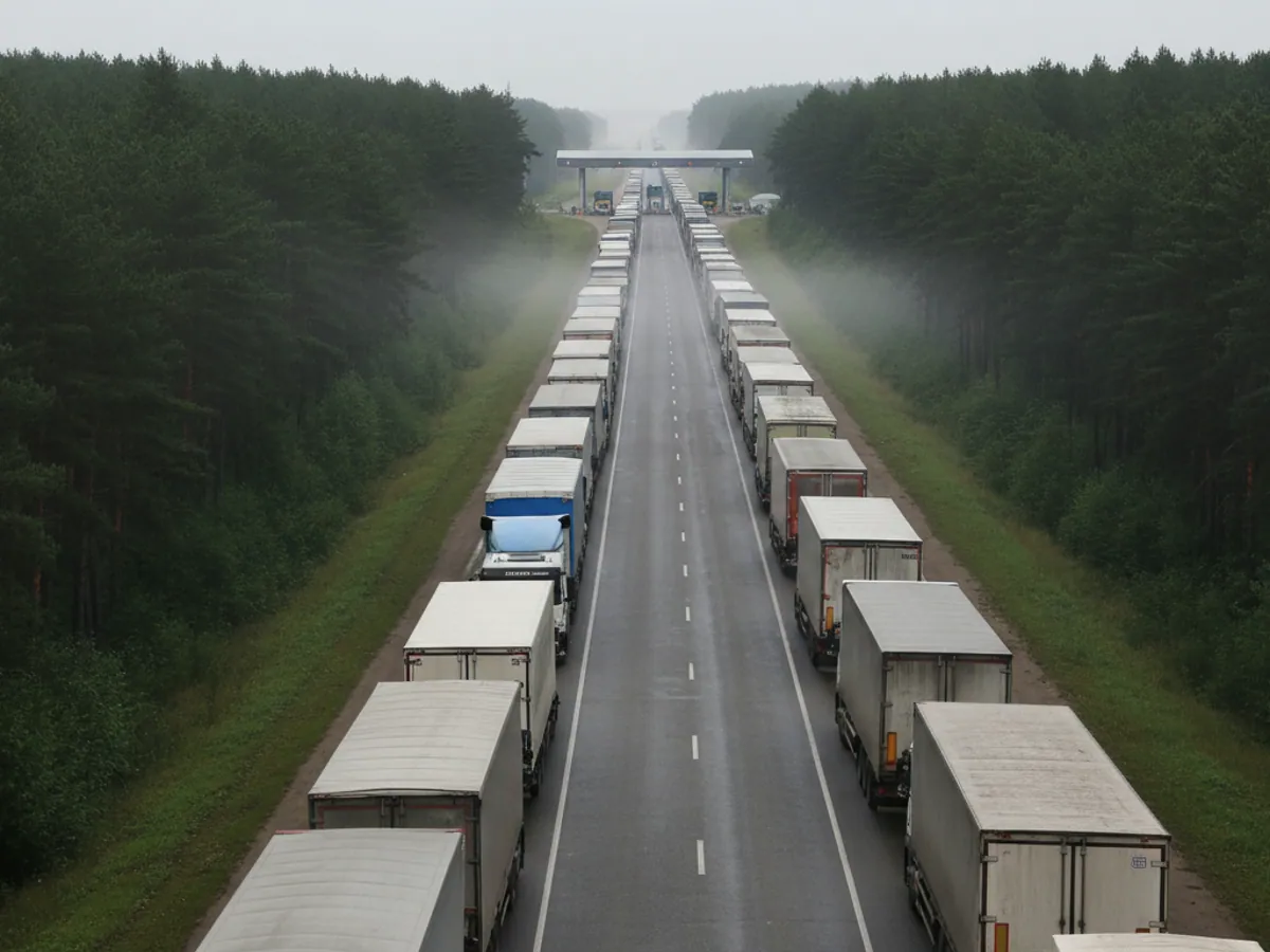
The Caspian ferry: what you can see while the lorry is on deck
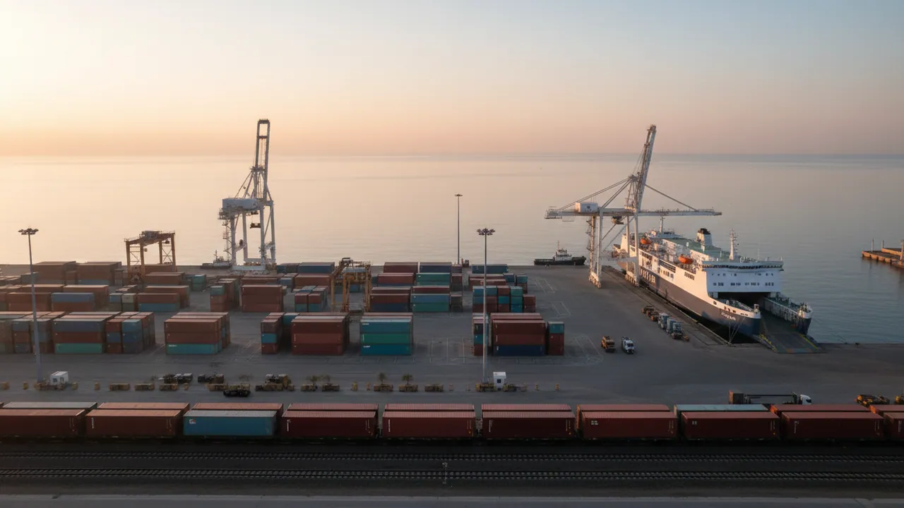
The Alat — Aktau or Alat — Turkmenbashi crossing takes a day or more, and waiting for the ferry in port sometimes stretches to several days. During that time the driver and the load are out of sight, and there is no mobile network on the open sea.
What monitoring gives you on this stretch:
- the exact time of arrival at the port and of driving onto the ferry, from the terminal geofence;
- the track of the crossing, recorded in the tracker's memory and uploaded once it reaches a network on the other shore;
- the temperature in the refrigerated body for the whole crossing, even though it could not be watched live;
- the time of departure from the destination port and the start of the run across Kazakhstan or Turkmenistan.
For the owner of the load you can open a public link to a particular run: they can see where the vehicle is for themselves and will not ring the dispatcher five times a day.
Where to start and how long it takes
Handover before the first run
Data transmission
The vehicle is on the map, and coordinates, ignition and voltage are reaching Wialon. We check this with you present at the yard.
Working without a network
We switch transmission off for a while and make sure the track for that stretch arrives once the link is restored. That shows you how the tracker will behave on the ferry.
Sensors and notifications
We open the body door and change the temperature at the sensor — the notifications reach the dispatcher through the chosen channel. For a tachograph we test a trial remote download, provided the company card is already in place.
The first run
After the first run we go through the report with the dispatcher: time at the border, stops, temperature. If any geofence or threshold has been set awkwardly, we correct it.
What the haulier gets
The load stays intact
Temperature and door openings under control along the whole route, the crossing included.
Fuel control abroad
Refuelling in Georgia, Turkey and Russia is visible from the fuel level sensor and tied to a location. It is easy to compare the volume on the receipt with the rise in the tank.
An accurate arrival time
The dispatcher answers the client from actual data rather than after ringing the driver.
Grounds in a dispute
Time at the border, in port and at unloading is on record. That helps when claims are made about deadlines.

Connectivity by destination
We check coverage against your tariff before go-live. The track is saved without a network everywhere.
| Georgia and Turkey | Russia | Iran | Caspian ferry | |
|---|---|---|---|---|
| Live on the route | Yes, usually without trouble | Yes, with gaps between cities | Partly, depends on the tariff | No, data arrives from shore |
| Notifications arrive at once | Yes | Yes, where there is a network | Partly | No, they arrive in a batch |
| Geofences for crossings and ports | Red Bridge, Sarpi, Poti | Samur — Yalama | Astara | Alat, Aktau, Turkmenbashi |
| What to allow for | Queues at the border | Long legs, drivers' hours | Not all networks and tariffs | A day or more without a link |
Questions about “GPS monitoring for international haulage”
Request a call
A specialist will call back and match a solution to your fleet and your task.
Similar scenarios
How similar jobs are done on Teltonika hardware

FMS Eco Driving: a driving style report for articulated lorries
Logistics and delivery

Remote reading of DTC faults on lorries
Logistics and delivery
Trailer data over EBS with no extra sensors
Logistics and delivery