
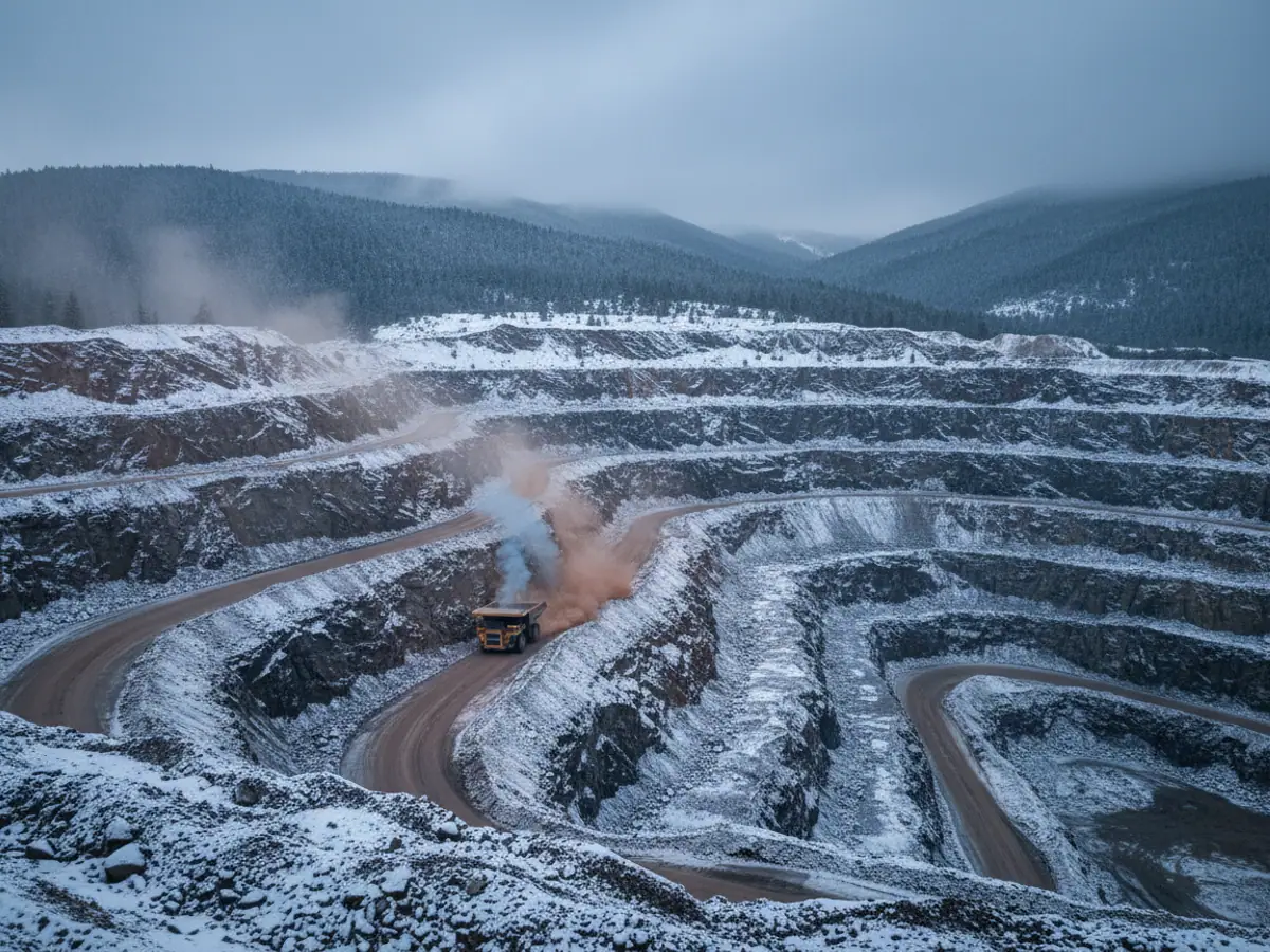
Satellite monitoring for geological exploration and remote parties
Monitoring of the vehicles, people and equipment of exploration parties where mobile coverage works only in patches or not at all. GSM where it exists, a satellite channel where it does not, and a tracker memory that loses not a single point.
For fieldwork in the mountains of the Lesser and Greater Caucasus, in Nakhchivan and on remote sites several hours down a dirt track from the nearest village.
Working out of range
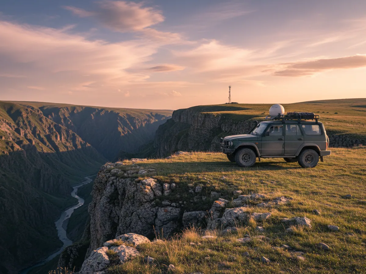
Geologists go where there are as yet no roads, and sometimes no coverage either: the mountain areas of Kalbajar and Lachin, the upper reaches of the rivers in the Greater Caucasus, the spurs of the ranges in Nakhchivan. The party leaves base camp in four-wheel drives and pickups, a truck-mounted drilling rig crawls along a dirt track, and the nearest Azercell or Bakcell mast is a pass or two away.
In conditions like these, monitoring is first of all a matter of safety. The party leader has to know where every vehicle and group is at any moment, whether the people made it back before dark and whether help is needed. Second comes the security of expensive equipment and of the fuel brought to camp from tens of kilometres away.
We choose the equipment to match the coverage that actually exists on the site. Where there is a network at least in places, an ordinary tracker with memory is enough. Where there is none at all, a satellite channel is added for coordinates and alarm signals. All of it comes together in one system in the office in Baku.
How communication works on a remote site
Mobile coverage in the mountains is not everywhere, but it is rarely absent altogether. Usually a vehicle picks up coverage on a ridge and loses it in a gorge. In that situation the tracker works as follows:
- inside GSM coverage it sends points in real time;
- with no network it writes the track and the events to internal memory;
- when a signal appears it uploads what has accumulated, and the history is restored in full.
For reports on mileage, engine hours and fuel that is enough. But for people's safety a delay of several hours is unacceptable. So where a party works for days without a network, we add a satellite channel. The way it connects to the tracker is chosen for the particular project. Short messages go over the satellite: a coordinate at a set interval, and an alarm when the SOS button is pressed.
Satellite traffic is considerably more expensive than mobile, so pushing the whole track through it makes no sense. We set a rule: while there is GSM, the data goes that way, and the satellite is used only when there is no network.
What we connect in a party
All-terrain vehicles and pickups
On every vehicle we fit a tracker wired into the on-board supply, with a panic button in the cab. You can see where a group has gone, when it came back and how far it travelled. If a vehicle stands for a long time in an unexpected place, that is a reason to get in touch with the group.
We create a geofence around base camp. Departures and returns are recorded automatically, and by evening the leader can see whether all the vehicles are back.
Risks of a field season
Every party leader knows these situations. Monitoring does not do away with them, but it shortens the time it takes to find out about them:
A group has not returned on time
Without communication there is no telling whether the people have been held up on the route or something serious has happened. The tracker's last point narrows the search area from tens of kilometres to a single slope.
A breakdown far from camp
A vehicle has stopped in a gorge, twenty kilometres of rough ground from camp. A coordinate and a panic button make it possible to send help quickly to the right place.
Fuel going astray
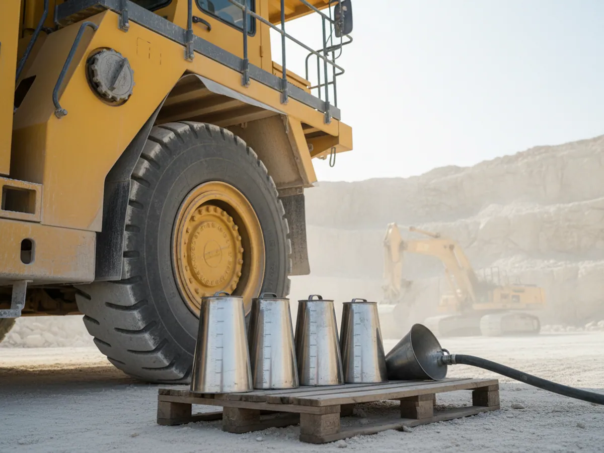
Diesel is brought to camp from far away and is expensive to deliver. A drain from a vehicle tank or a storage tank in the field is the hardest thing to notice without sensors.
Equipment used for private purposes
The party's pickup drives off to the nearest district town on somebody's own business at the weekend. That is fuel and vehicle life lost on a site where there are no spare parts.
A drilling rig standing idle
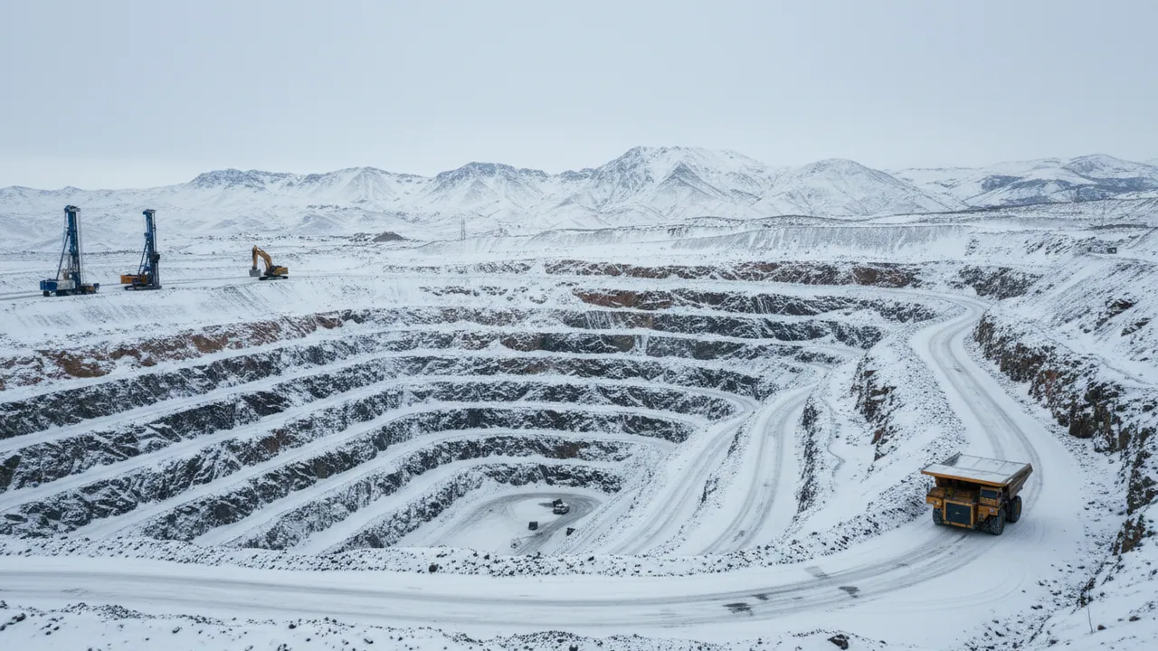
The rig is stopped by a breakdown or a lack of water, and the office learns about it from the weekly report.
A field season from departure to shutdown
Spring. Before departure we fit the equipment to the vehicles and rigs in Baku or at the base, test the panic buttons, issue the personal trackers and explain to people how to use them. On the map we create geofences for the camp and the work areas.
The season. In the morning the party leader sees which groups have set out, during the day receives notifications when SOS is pressed or a vehicle leaves the bounds of the site, and in the evening checks that everyone is back. The office sees the rigs' engine hours and the remaining fuel, and plans the deliveries.
Autumn. The equipment goes back to base, we do not use the satellite channel over the closed season, and the personal trackers are collected in and charged ready for the next season. The season's history stays on the platform and is useful when planning the next one: how much fuel actually went, how many hours were drilled, where there were communication problems.
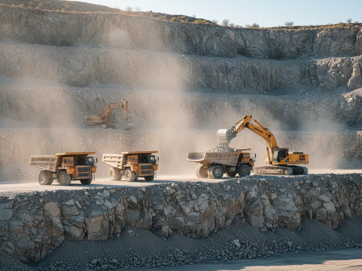
If exploration results in the site moving into production, the same system moves with it: tippers, excavators and trip records are added to the party's vehicles. How that looks at working mines and quarries is described in the GPS monitoring in the mining industry section.
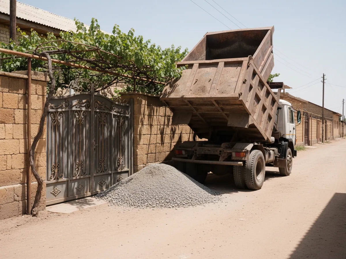
The SOS procedure: who does what and within what time
A panic button is useful exactly to the extent that it is clear what happens after it is pressed. We write the procedure together with the party leader before departure, and it usually looks like this:
- Alarm. The SOS button has been pressed or the fall sensor has triggered. A message with the coordinate goes to the duty person at camp and to the office, over the mobile network or by satellite if one is connected.
- Confirmation. The duty person tries to reach the group: radio, telephone, satellite messenger. A false press is closed off with a note of who pressed it and why.
- Escalation. Contact could not be made within the agreed time — the nearest group or a camp vehicle sets off for the location, and the party leader decides whether to call the emergency services, passing them the last known coordinate.
What is important to understand in advance. A personal tracker without a satellite module sends an alarm only where there is a mobile network: in a deep gorge it will arrive later, when the person comes back into coverage. A personal tracker's battery is limited, and charging it at camp is as much a part of the procedure as checking the first aid kit. The system replaces neither the radio nor the rule against walking a route alone.
For each site we mark on the map where there is coverage, where there is none, and which routes must have a satellite channel. We refine that map from the data of the season's first weeks.
Safety rules the system supports
A check-in time for returning
For each group a time is set by which the vehicle has to be back inside the camp geofence. If it is not, the party leader is notified.
The boundary of the work area
A vehicle leaving the agreed area is visible straight away. That helps both safety and the control of trips made for other purposes.
Prolonged immobility
A vehicle or a person not moving for longer than the set time outside camp is a signal to find out what is going on.
The notification chain
Who receives an alarm first, who receives it second if the first does not answer. We agree the numbers and the order before the season starts.
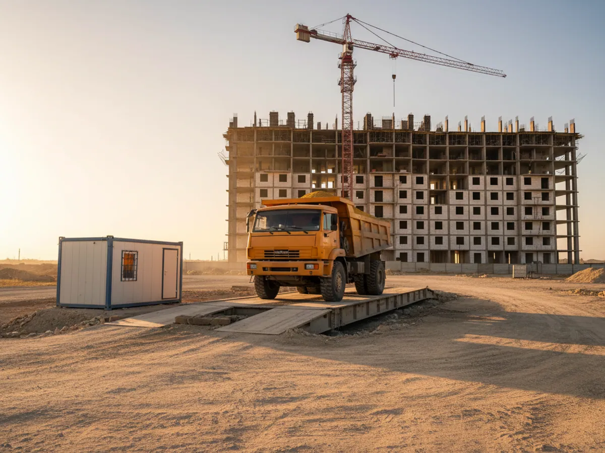
A pilot before the season: what is needed and how to sign it off
Before the field season it is worth testing the arrangement on one group and one vehicle, preferably on the site with the worst coverage. A couple of weeks is enough to work out where the satellite is needed and where the tracker's memory will do.
What we need from the party: the boundaries of the work areas and the position of the camp; a list of vehicles, rigs and the people carrying personal trackers; contacts for the duty staff in the notification chain; and a decision on who in the office takes alarms at night and at weekends.
Sign-off criteria: a practice alarm from the point on the route with the worst coverage reaches the duty person within a time the party considers acceptable; the return check-in time triggers if a group has not come back to camp; the track for days without a network is restored once the vehicle is back in coverage; and the rig's hours worked and the camp's remaining fuel appear in the report.
An example of a daily report: groups' departures and returns, periods without communication for each vehicle, alarms with a note of their confirmation, the rig's hours of operation, and the level in the fuel tanks.
What the party gets
People kept in view
Groups' coordinates and alarm signals reach the party leader and the office even when the nearest mast is far away.
Deliveries based on data
The fuel remaining in the generators and tanks is visible remotely. The fuel bowser comes when it is needed rather than just in case.
Equipment where it should be
Vehicles, rigs and camp equipment are visible on the map. Trips and movements that do not belong are noticed at once.
Real hours worked by the rigs
Drilling and idle hours are counted from sensors, and planning for the next season rests on facts.
Frequently asked questions
What is used in this sector
What we do end to end
Wialon modules for this sector
How it is used in this industry
Case studies from “Mining & Quarrying”
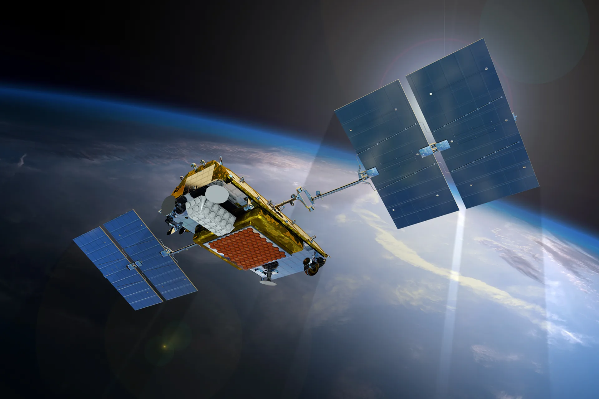
Satellite communication for lorries out of network
Logistics and delivery

Vehicle monitoring where there is no cellular coverage
Logistics and delivery
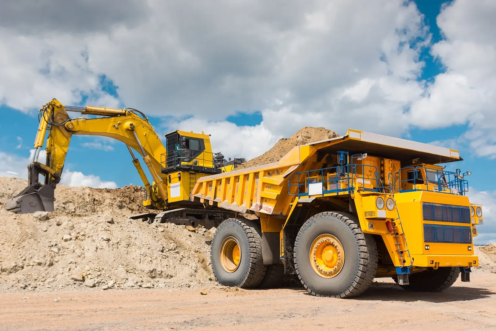
Recording plant and heavy equipment work with EYE sensors
Agriculture, construction and mining
Thinking of rolling out GPS monitoring in “Geological exploration”?
Send us an enquiry and we will price it up for your fleet and pick the hardware for this sector: mining & quarrying.
- 1 We pin down the task
A specialist calls back and asks about the vehicles, how many there are and what you need to keep an eye on.
- 2 We put a solution together
We propose the hardware and the features, and set out the one-off and the monthly cost separately.
- 3 We agree the fitting
At your yard or at ours, on a schedule that keeps the vehicles working.
Request a call
A specialist will call back and match a solution to your fleet and your task.