
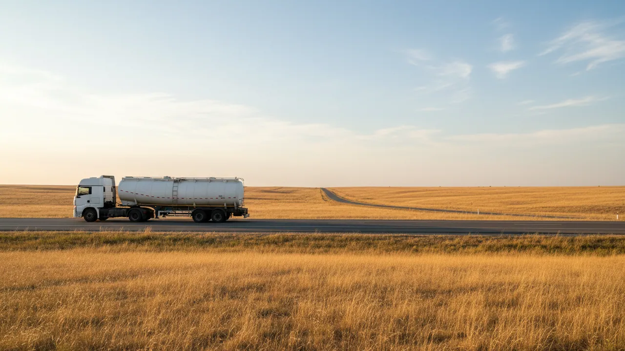
Monitoring vehicles and infrastructure in the gas industry
GPS monitoring for companies that haul liquefied gas across the regions, maintain gas distribution networks and patrol pipelines. LPG tankers carrying propane-butane, emergency crews, line patrolmen and mobile laboratories on a single map in Wialon.
What matters most in this industry is the safe carriage of dangerous goods under ADR rules: routes that avoid built-up areas, speed control on mountain passes, tyre and brake temperature, and confirmed discharge at the consignee.
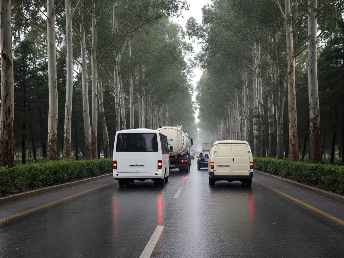
Gas travels the same roads as everyone else
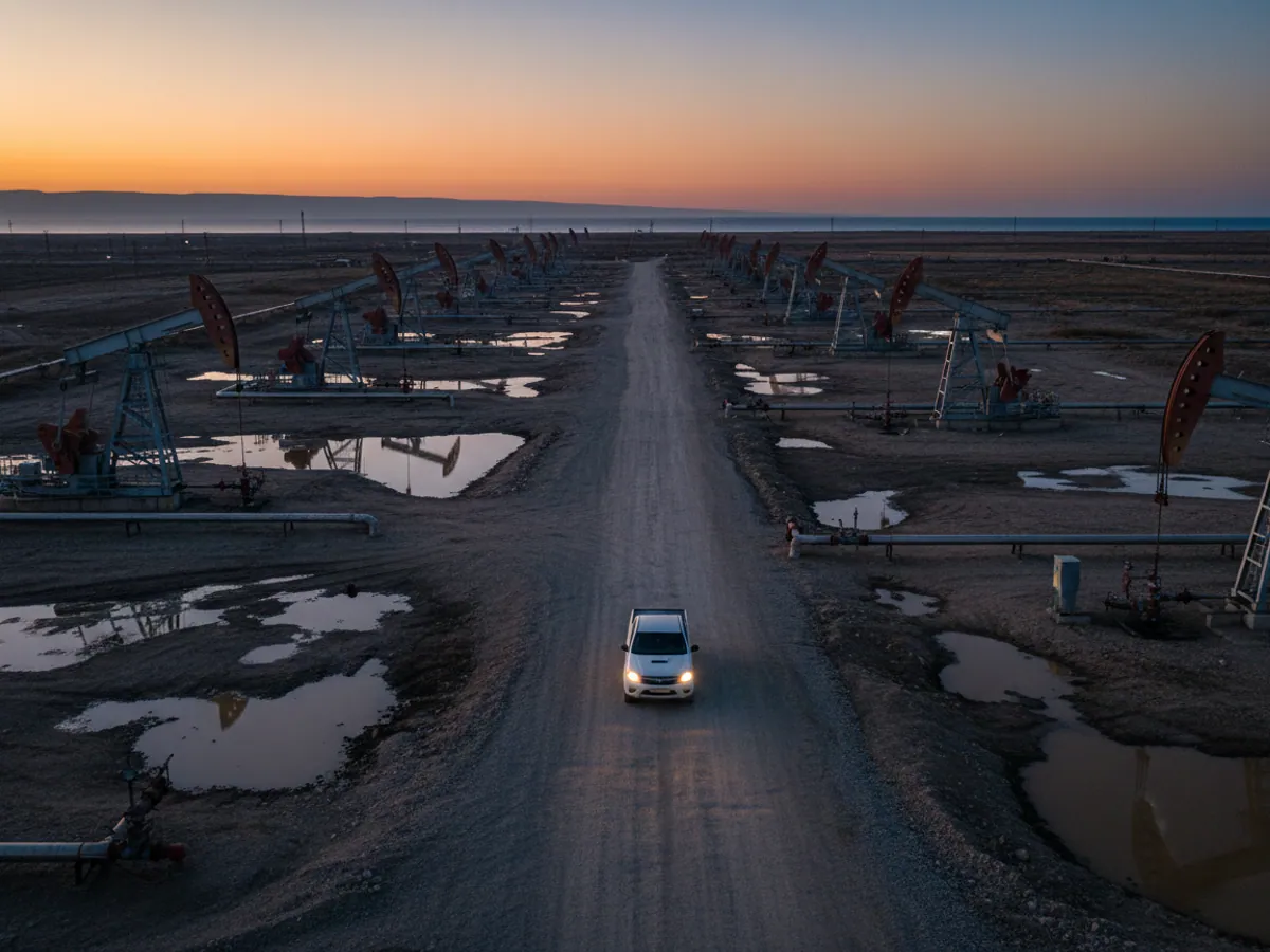
Pipeline gas from Shah Deniz goes for export through the South Caucasus Pipeline, and that has a control system of its own. But a large share of the work done by gas companies happens on ordinary roads: road tankers carry propane-butane to filling plants in Sheki, Ganja and Lankaran, emergency vehicles answer call-outs in the settlements of Absheron, and crews inspect networks in districts where gas was connected only recently.
Each of these vehicles carries its own risk. An LPG tanker that overheats its brakes coming down from the Shamakhi pass is dangerous to everyone around it. An emergency crew that takes 40 minutes instead of 15 to reach a leak turns a minor incident into a serious one. A patrolman who signs a route off without getting out of the vehicle misses an illegal tap.
For gas companies we put together a system in which each of these tasks is visible separately: carriage of dangerous goods, the emergency service, and network patrols. The other parts of the energy sector, from oil production to renewables, are described on the page about monitoring for energy companies.
Where things go wrong in gas logistics
From our experience fitting LPG tankers and emergency service vehicles, trouble usually starts in four places:
Speed and mountain passes
A loaded propane tanker on a hairpin descent is the most dangerous stretch of any run. Speeding downhill and overheated brakes and tyres are behind most serious incidents involving dangerous goods.
Short discharge at the consignee
Part of the gas stays in the tanker for private use and is later decanted into household cylinders. On paper everything adds up, while the filling plant is short.
Illegal taps
If a patrolman skips sections of the pipeline, the tap is found through a pressure drop or a complaint from residents rather than during an inspection.
Slow emergency crew turnout
The dispatcher rings round the crews to work out who is nearest. Minutes go on finding out rather than on driving.

The tanker route: geofences instead of verbal instructions
For every tanker we set an approved route and a corridor around it. Leaving the corridor, entering an area closed to dangerous goods or stopping in a residential street becomes an event with a notification to the dispatcher and to the person responsible for transport safety. Setting up such zones is covered on the page about geofences and route control.
Speed limits are tied to sections too. On the M-4 trunk road the limit is one thing; on the descent from the Shamakhi pass and on the hairpins towards Guba it is lower. The driver hears a warning in the cab, and the dispatcher receives an event if the driver ignored it.
About engine immobilisation we will be straightforward. An LPG tanker must never be cut out while moving; that is more dangerous than any violation. We configure immobilisation so that it only takes effect after the vehicle has stopped: for example, if the vehicle left the secure yard at night without authorisation, restarting it will not be possible.
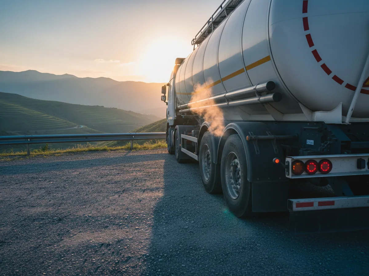
A run from Baku to Sheki: what the dispatcher sees
A propane-butane tanker sets off after loading in Baku. The tracker records the departure time, the driver is identified by key, and tyre pressure and temperature are normal.
On the approach to the Shamakhi pass the speed drops, all within the limit. On the descent the TPMS sensors show that the temperature of one semi-trailer wheel is rising faster than the rest. When the threshold is crossed the dispatcher gets a warning, rings the driver, and the driver pulls into a lay-by and lets the brakes cool. Without the sensor this would only have become visible as smoke.
At the filling plant in Sheki the vehicle enters the consignee geofence. The system records the arrival time, the duration of the discharge and, if the tanker has a flow meter, the volume delivered. The difference between the volume loaded and the volume discharged goes straight into the trip report, instead of surfacing at a stock count a month later.
The tanker returns empty. A 25-minute stop outside a private yard in the Ismayilli district that is not on the route sheet will also be in the report.
Tools for gas companies
Accounting for loading and discharge
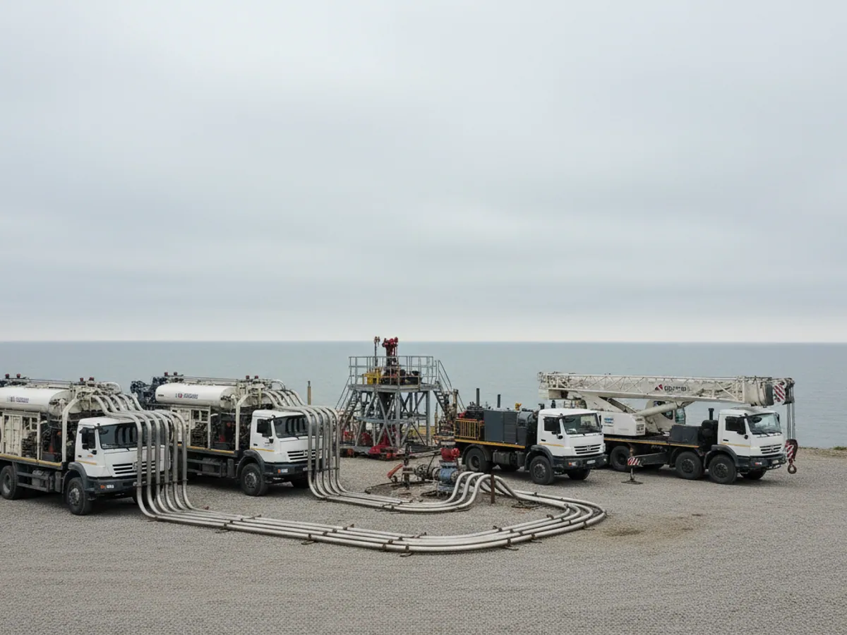
If the road tanker has an electronic meter or a mass flow meter with a digital output, we connect it to the tracker. Wialon then shows how much gas was delivered, where and when. Without a meter we track the time spent in the loading and discharge geofences and the opening of the discharge compartment through a sensor.
For full control of the tractor unit we fit a fuel level sensor in the fuel tank: an LPG tanker takes on diesel like any other vehicle, and fuel drains there are no different from those on any lorry. There is more about the approach in the section on fuel control.
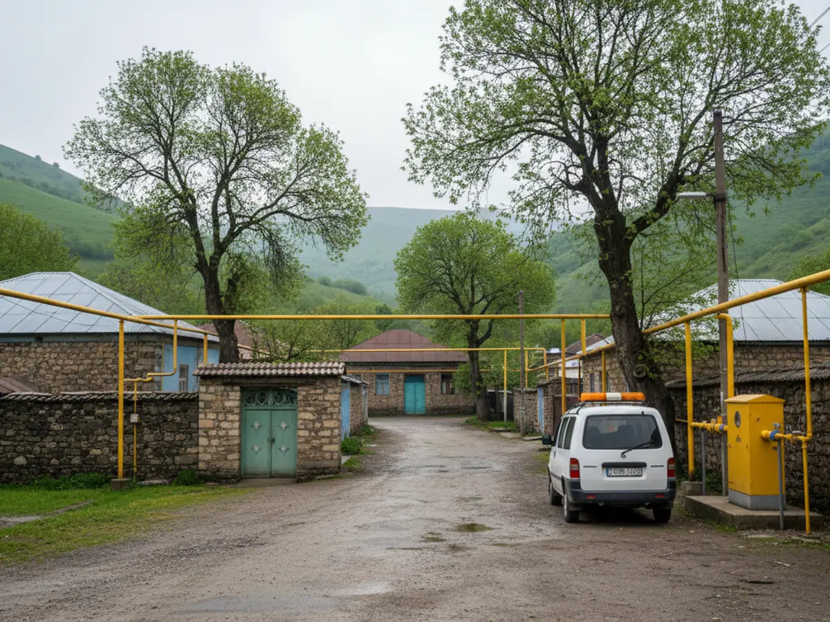
Mobile laboratories and leak surveys
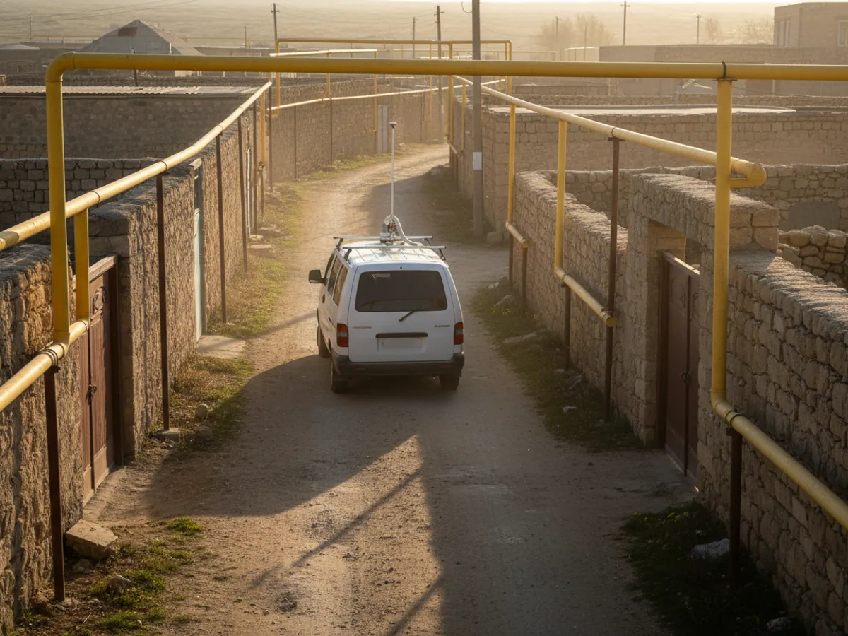
Many gas services survey their networks in vehicles carrying a gas analyser. The instrument itself works on its own, the operator writes the readings down by hand, and a week later it is hard to say exactly where the reading was over the limit.
If the gas analyser has a digital or analogue output, we connect it to the tracker. Every methane concentration measurement then gets a coordinate and a time. On the Wialon map the vehicle track is drawn coloured by concentration level, and the points above the threshold stand out at once as places to check.
There is one limitation: we do not make gas analysers and we are not responsible for their accuracy. We put on the map what the instrument gives us. Before the project we check the model of the instrument and its interface.
Hazardous areas, alerts and the boundary with leak detection
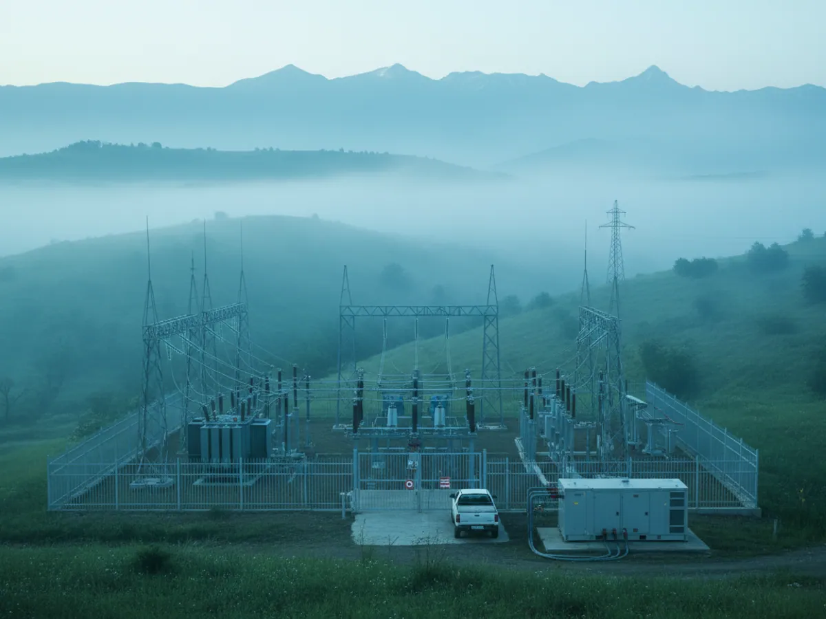
Equipment rating and permits. The classification of hazardous areas at filling plants, autogas stations and network sites is determined by your industrial safety department. We select equipment to match: inside the zone we fit only devices with the appropriate explosion-protected rating and manufacturer documentation, and everything else goes in the cab and outside the zone. Work on your sites is carried out under your permit to work and after a safety briefing. If there is no sensor with a suitable rating for a particular assembly, that assembly is left unequipped.
The alert procedure. For each type of event we decide in advance who receives the notification and what they do:
- Alert — discharge outside a permitted geofence, an SOS from a patrolman, an overheating tanker wheel, leaving the route in a residential area.
- Acknowledgement — the dispatcher contacts the driver or patrolman and marks the event as accepted.
- Escalation — if there is no contact or the situation is confirmed, the notification goes to the person responsible for transport safety and to the emergency service under your internal instructions.
- Review — the sequence is reconstructed from the track and the events, and the conclusions are recorded.
The boundary with leak detection. GPS monitoring does not detect a gas leak. Leaks are found by gas analysers, pressure monitoring systems and patrolmen. We put the instrument readings on the map if it has a data output, and we confirm that the patrol was carried out. The decision as to whether there is a leak is taken by your own service under its own procedures.
The pilot: what is needed and how to sign it off
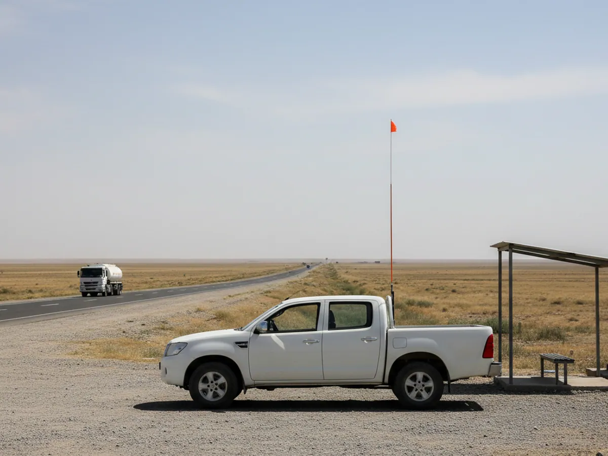
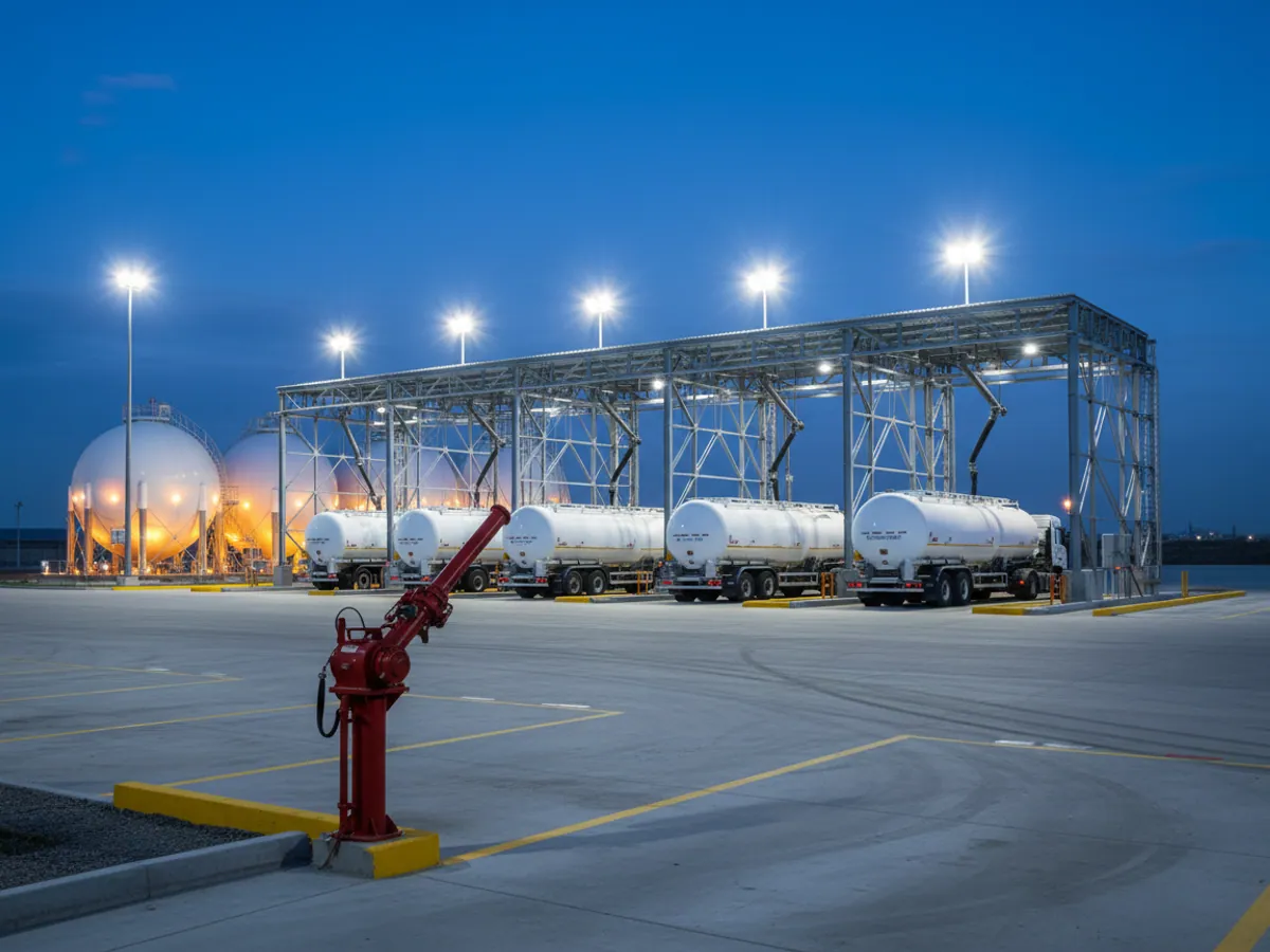
A pilot works well on 3 to 5 LPG tankers on the same route and one emergency crew. Allow a month or more.
What we need from the company: the approved routes and the sections with reduced speed limits, the area classification for the sites where fitting will take place, a permit to work for the fitters, a list of the people responsible for the alert procedure, and the loading and discharge paperwork for the pilot period.
Acceptance criteria, for example: every test event (leaving the route, speeding on a descent, an SOS) went through the whole notification chain; loading and discharge volumes for each run reconciled with the paperwork; the arrival time of the emergency crew calculated for every call; all equipment in hazardous areas carrying a suitable rating and documentation.
What we fit to an LPG tanker
Tracker with CAN and RS-485
An industrial tracker that reads data from the tractor unit's CAN bus and accepts digital sensors. Fitted in the cab, outside the tanker zone.
Fuel level sensor in the fuel tank
A capacitive fuel level sensor in the tractor unit tank. It shows diesel refuelling and drains to within a few litres after calibration.
TPMS on every axle
Pressure and temperature sensors in the wheels of the tractor unit and the semi-trailer, with a receiver in the cab.
Driver identification
A key or a card. It is needed so that speeding violations are attributed to a specific person holding an ADR certificate.
Discharge compartment sensors
Monitoring of compartment opening and, where fitted, the signal from the tanker earthing device used before discharge.
Dashcam
Cameras facing the road and the cab. On dangerous goods work, video often settles a dispute with the insurer after an accident.
What gas companies get
Runs without surprises
Every tanker run with its route, speed, stops and discharge volume in a single report.
Fewer shortfalls
The difference between loading and discharge is visible on every run. Discrepancies above the permissible loss become a reason for review rather than being written off automatically.
Faster to the call
The dispatcher sends the nearest crew rather than the first one who answered the phone.
Evidence for inspections
The history of routes and violations is retained and can be exported on request during an investigation or an internal audit.
Questions from gas companies
What is used in this sector
What we do end to end
Wialon modules for this sector
How it is used in this industry
Case studies from “Oil, Gas & Energy”
Keeping track of equipment in explosive atmospheres
Assets and workforce

Protecting lone workers with the GH5200 tracker
Assets and workforce

Vehicle monitoring where there is no cellular coverage
Logistics and delivery
Thinking of rolling out GPS monitoring in “Gas industry”?
Send us an enquiry and we will price it up for your fleet and pick the hardware for this sector: oil, gas & energy.
- 1 We pin down the task
A specialist calls back and asks about the vehicles, how many there are and what you need to keep an eye on.
- 2 We put a solution together
We propose the hardware and the features, and set out the one-off and the monthly cost separately.
- 3 We agree the fitting
At your yard or at ours, on a schedule that keeps the vehicles working.
Request a call
A specialist will call back and match a solution to your fleet and your task.