
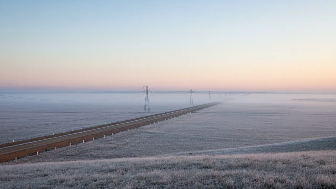
Monitoring linear assets: pipelines and power lines
Control of patrols and maintenance on oil and gas pipelines, transmission lines and water mains. We check that the patrol really did cover every kilometre of the route, that equipment inside the protection zone is working under permit, and that the emergency crew knows which chainage marker to head for.
Hundreds of kilometres that nobody sees as a whole
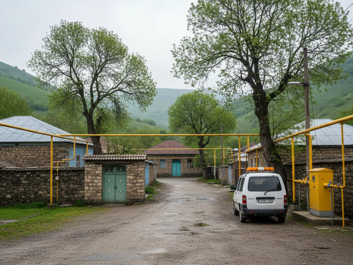
Azerbaijan is crossed by the Baku-Tbilisi-Ceyhan export pipeline, the South Caucasus gas pipeline and the Baku-Supsa line, along with thousands of kilometres of domestic gas networks, water mains and power lines. The route runs across the Kura-Aras lowland, the foothills and farmland, and it crosses rivers and roads. For every linear asset the main difficulty is the same: length.
To spot an illegal tap, a washout, someone else's excavator working in the protection zone or a tree on the conductors in good time, the route has to be driven and walked regularly. And here an old problem appears: a patrol can close off its work order by driving as far as the nearest valve and turning back. A paper logbook will not show that.
GPS monitoring makes the patrol measurable. For network and energy companies in general we have an overview page on GPS monitoring for the energy sector, while this page is specifically about linear assets.
How the system knows the route has really been inspected
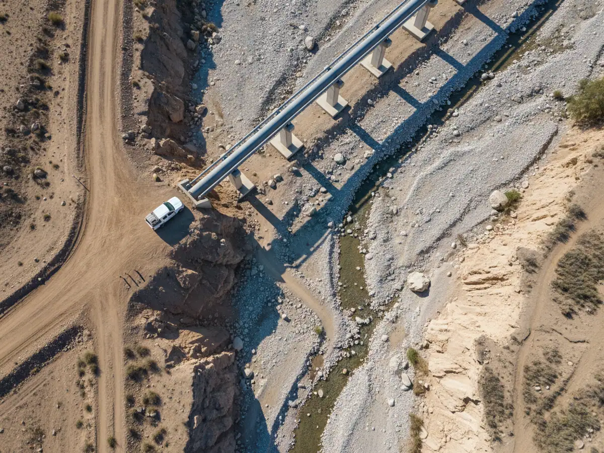
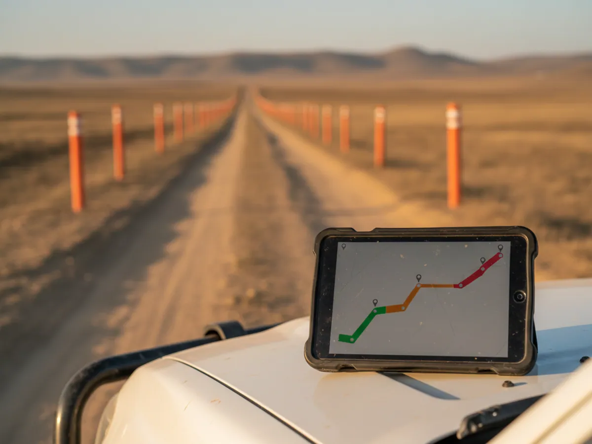
We load the centreline of the pipeline or power line into Wialon and build a corridor of the required width around it. The route is split into sections by chainage, usually one kilometre at a time. A section counts as inspected if the patrol vehicle covered it in full, inside the corridor, and at a speed at which anything can actually be seen from the window, most often up to 20 or 30 km/h.
At the end of the shift the dispatcher gets a map on which inspected sections are green, missed ones red, and those covered too quickly amber. If the patrol cut across on a road running parallel to the pipe, that is visible at once. Geofences and corridors are described in more detail in the section on geofences.
One detail matters: for walking the difficult sections, such as river crossings, gullies and boggy ground, a vehicle is no use. There the patrolmen's personal trackers do the job, and their tracks go into the same report.
What makes an unwatched route dangerous
Each of these threats is found during an inspection, provided the inspection actually happens:
Illegal taps
A crude tap into an oil or gas pipeline is made overnight. A regular inspection of the route finds fresh diggings and vehicle tracks.
Third-party plant in the protection zone
A farmer digs a channel, a contractor lays a road. An excavator that damages a pipe is a common cause of failures on linear assets.
Leaks and washouts
A small leak or a pipe exposed after flooding on the Kura or the Aras will, if it goes unnoticed, grow into a serious failure over time.
Trees and poles
Scrub growth in the power line protection zone and leaning poles are spotted during a patrol. A missed section ends in an outage.
A patrol crew's shift in the Kurdamir district
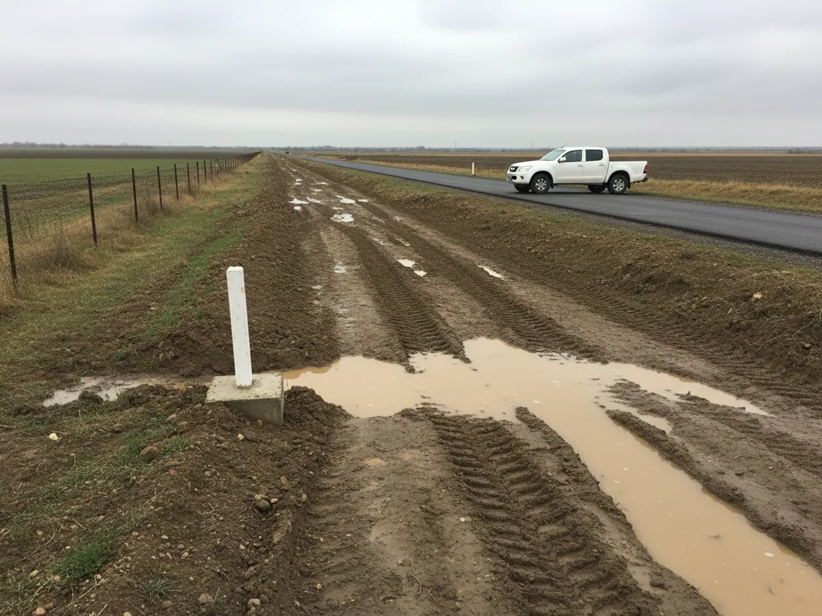
A crew in a four-wheel-drive pickup has to inspect 60 km of route during the shift. They leave base at 08:00 and the tracker records the start of the route.
Until 11:00 everything goes to plan: 25 km covered inside the corridor at 15 to 25 km/h. Then the vehicle moves onto the tarmac and drives along the route on the road, 2 to 3 km from the pipeline centreline. The system marks those 20 km amber: the vehicle was nearby, but not in the corridor. The dispatcher sees this at 14:00 and rings the team leader. It turns out the dirt track along the pipe was churned up after rain.
The decision is taken straight away: a patrolman on foot will cover the missed section the next day, and a note about the reason appears in the report. Without a tracker that section would have been recorded as inspected, and nobody would have known that nobody had seen it.
On the way back the patrolman notices tracked vehicle marks inside the protection zone. He records a point in the mobile app with a photograph, and the point appears on the dispatcher's map tied to the chainage.
Tools for keeping watch on the route
Walking the line
A personal tracker with an SOS button and a fall sensor. A patrolman often works alone, far from any road, and if something happens he needs a way to call for help. The device is described on the page about the Teltonika GH5200.
To check specific points, such as valve assemblies, cathodic protection stations and crossings, NFC tags can be fitted. The patrolman presents the device or the phone, and the record is saved with its time.
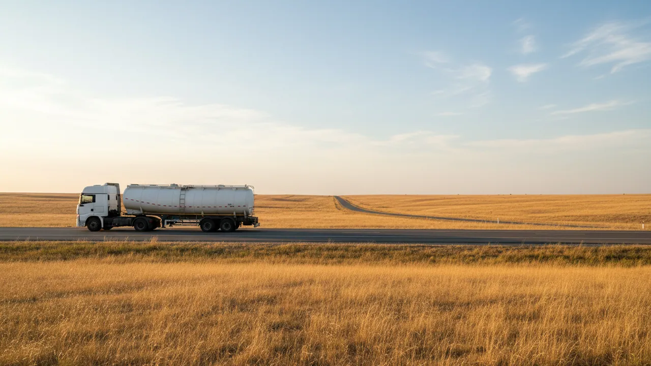
Passing through is not yet inspecting: what a tracker confirms and what it does not
The track proves that the patrol was inside the route corridor at the right speed. It does not prove that the people were looking at the pipe rather than at their phones. So we separate two things and show them separately in the report.
- Patrol pass — the vehicle or the patrolman covered the section inside the corridor at a permitted speed. The system counts this automatically.
- Evidence of inspection — records at checkpoints (an NFC tag on a valve assembly, a photograph of a river crossing), a no defects entry or a defect record in the app. This is done by a person.
A section with a pass but without a single record can be shown in a colour of its own. How often records are required, and at which points, is decided by the operations department under its own procedures.
Locating a defect. A record in the app takes the coordinates of the phone or the tracker and the nearest chainage marker. Accuracy is a few metres in open country, and worse in gullies and under trees. That is enough for a repair crew to find the spot; for as-built documentation the coordinates are refined by surveyors.
Working without a network. The tracker and the app keep the track and the records in memory and send them once there is coverage. The inspection report will be complete, but the dispatcher will only see the defect after the crew comes back into a covered area. If damage has to be reported immediately, that is a job for a satellite device or a radio, and it is worth solving separately.
Signing off a pilot section
A pilot on 30 to 50 km is best closed against criteria agreed in advance. For example:
- the route centreline and chainage in the system match the operator's documentation;
- the map of inspected sections for a fortnight has been reconciled with the work orders, and every red spot has been reviewed and attributed either to a missed section or to a configuration error;
- defect records with photographs and chainage reach the dispatcher, including ones made outside coverage;
- a test SOS from a patrolman went through the whole response chain.
What we need from the operator: the route centreline and chainage in electronic form, the patrol procedures, the list of checkpoints, the list of patrols and patrolmen, and the person responsible for reviewing the reports.
Linking to your GIS
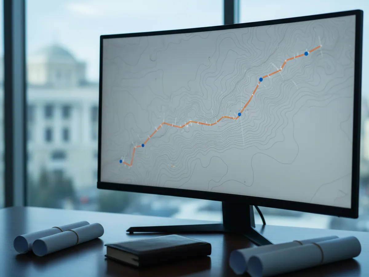
Most operators already have a geographic information system holding the route, the chainage and the assets. There is no need to duplicate it in Wialon. We pass the monitoring data into the GIS through an API, and moving vehicles and patrolmen appear on top of your own schematics. How the exchange works is described on the page about the API and integrations.
If you have no GIS of your own, a file with the route centreline and a list of chainage markers is enough. We load them into Wialon, and the reports will show kilometres in the numbering you are used to.
It works the other way round too: the route centreline and chainage can be exported from the GIS and loaded into Wialon as geofences, so that patrol reports are built in the coordinate system you already use.
The order of work on a linear asset
1. Route and procedures
We take the route centreline, the chainage and the patrol procedures: which sections, how often, on foot or by vehicle. From this the rules for the reports follow.
2. A pilot section
We take 30 to 50 km with a mix of conditions: plain, foothills, a river crossing. For a fortnight we run in the corridors and speed limits on real patrols.
3. Equipping the patrols
Trackers on vehicles, personal devices for patrolmen, tags at checkpoints. Training takes half a day per crew.
4. Reports and reviews
A weekly map of inspected sections for management and a daily one for the dispatcher. For the first month we go through every red spot with you, to separate genuine gaps from configuration errors.
Mistakes when starting up patrol control
Too narrow a corridor
A 20-metre corridor where the road runs 150 metres from the pipe turns every shift into a violation. We set the width to match the road as it actually runs.
One speed for the whole route
On a level section 30 km/h is fine; in the foothills it is too fast. Limits are better set section by section.
Walking patrols left out of the report
If a vehicle physically cannot cover a section and tracks on foot are not counted, the report shows a hole where an inspection did take place.
Punishment instead of review
If every gap brings a penalty without anyone asking why, crews start looking for ways to fool the tracker.
The result for the operator
Real inspections
You can see which sections of the route were covered, when and by whom. Paper patrols become hard to pass off as real ones.
A body of evidence
Patrol tracks can be produced during inspections and investigations as data on compliance with the procedures, alongside the logbooks and signed records.
Faster to the failure
The nearest crew receives coordinates tied to the chainage.
Paying contractors for what was done
Service companies are paid for the kilometres of route actually covered.
Questions about monitoring linear assets
What is used in this sector
What we do end to end
Wialon modules for this sector
How it is used in this industry
Case studies from “Oil, Gas & Energy”
Keeping track of equipment in explosive atmospheres
Assets and workforce

Protecting lone workers with the GH5200 tracker
Assets and workforce
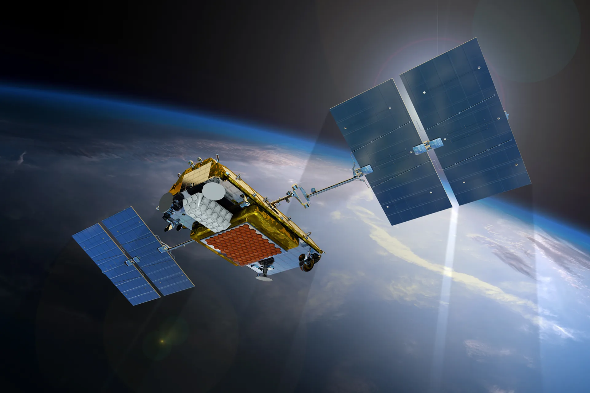
Satellite communication for lorries out of network
Logistics and delivery
Thinking of rolling out GPS monitoring in “Pipelines and power grids”?
Send us an enquiry and we will price it up for your fleet and pick the hardware for this sector: oil, gas & energy.
- 1 We pin down the task
A specialist calls back and asks about the vehicles, how many there are and what you need to keep an eye on.
- 2 We put a solution together
We propose the hardware and the features, and set out the one-off and the monthly cost separately.
- 3 We agree the fitting
At your yard or at ours, on a schedule that keeps the vehicles working.
Request a call
A specialist will call back and match a solution to your fleet and your task.